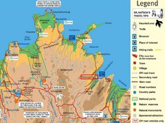
Vopnafjördur Tourist Map
Tourist map of the area around Vopnafjördur, Iceland
1874 miles away
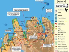
Akureyri Iceland Tourist Map
Tourist map of Northern Iceland showing cities, roads, interesting places and facts.
1882 miles away
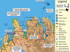
Akureyri Area Tourist Map
1889 miles away
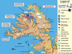
Ísafjördur Peninsula Tourist Map
Tourist map of area around Ísafjördur, Iceland. Contains some of most remote areas of...
1895 miles away
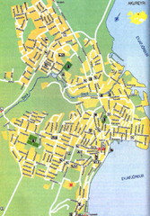
Akureyri City Map
1898 miles away
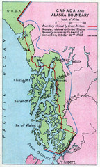
1903 Alaska boundary dispute Map
The Alaska Panhandle was object of a boundary dispute between USA and the Dominion of Canada...
1899 miles away
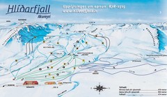
Hlíðarfjall Ski Trail Map
Trail map from Hlíðarfjall.
1901 miles away
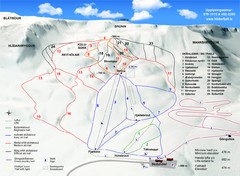
Hlíðarfjall Ski Trail Map
Trail map from Hlíðarfjall.
1901 miles away
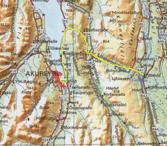
Akureyri area Map
1905 miles away
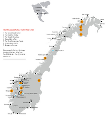
Norway World Heritage Sites Map
Overview map of Norwegian World Heritage Sites. Includes the Struve Geodetic Arc, the Rock Art of...
1909 miles away
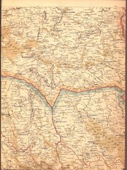
Finland Railway Map
Important landmarks in Eastern Finland
1916 miles away
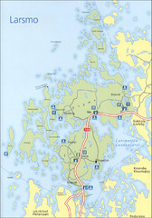
Larsmo Tourist Map
1918 miles away
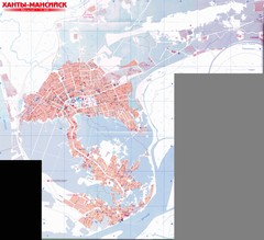
Hanty-Mansiysk Map
1919 miles away
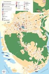
Hanty-Mansiysk Map
1919 miles away
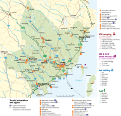
Umea Area Tourist Map
Regional map of Umeå, Sweden. Shows tourist attractions, camping, youth hostels, sea bathing...
1922 miles away
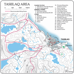
Tasiilaq City Map
Clear map marking facilities and roads.
1926 miles away
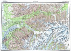
Anchorage Chugach State Park Topo Map
Topographic map of Chugach State Park, Anchorage, and surrounding area.
1926 miles away
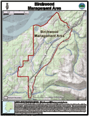
Birchwood, Alaska Tourist Map
1931 miles away
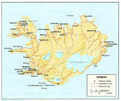
Iceland Map
1934 miles away
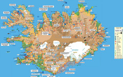
Iceland Tourist Map
Tourist map of entire country of Iceland. Shows museums, places of interest, hiking trails, towns...
1937 miles away
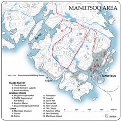
Maniitsoq City Map
Map and legend clearly marking facilities and roads.
1939 miles away
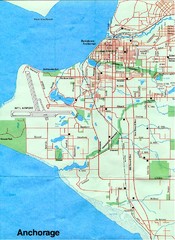
Anchorage Alaska Map
1942 miles away
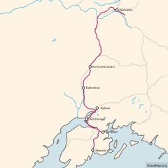
Alaska Railroad ma Map
Map of alaska normal gauga railroad. Licensed on Creative Commons Share Alike 3.0 license
1943 miles away
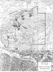
Chugach State Park Proposed Ski Area Map
Guide to Chugach State Park and proposed, but unbuilt, ski areas, now used for heli skiiing
1943 miles away
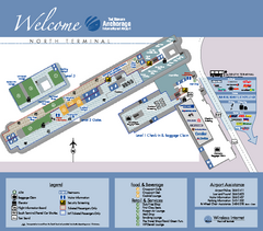
Ted Stevens Anchorage International Airport...
Airport Map of Ted Stevens Anchorage International Airport in Alaska. Map shows North Terminal and...
1944 miles away

Ted Stevens Anchorage International Airport...
Official map of Ted Stevens Anchorage International Airport - South Terminal. Shows all concourses...
1944 miles away
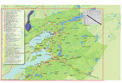
Central Norway Map
Maps covering Steinkjer - Verdal - Levanger - Inderøy in Norway. Maps show cities, rivers...
1945 miles away
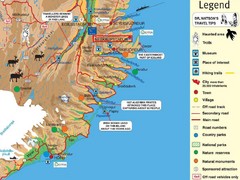
Neskaupstadur Area Tourist Map
Tourist map of eastern Iceland area near Neskaupstadur.
1946 miles away
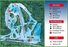
Hilltop Ski Area Ski Trail Map
Trail map from Hilltop Ski Area, which provides downhill, night, nordic, and terrain park skiing...
1948 miles away
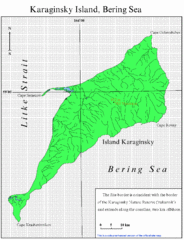
Karaginski Island Map
1948 miles away
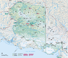
Wrangell - St Elias National Park & Preserve...
Official NPS map of Wrangell - St Elias National Park & Preserve in Alaska. The primary season...
1949 miles away
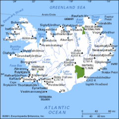
Iceland Hiking Map
1951 miles away
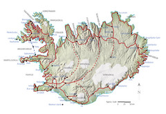
Iceland Tourist Map
1951 miles away
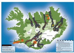
Iceland Dam and Geothermal Impact Map
Shows environmental impact of proposed dams, reservoirs, and geothermal plants in Iceland
1951 miles away
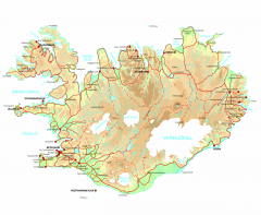
Iceland Physical Relief map
Physical map of Iceland with color-shaded relief.
1951 miles away
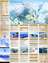
Alyeska Ski Trail Map
Official ski trail map of Alyeska ski area from the 2007-2008 season.
1963 miles away
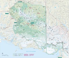
Wrangell-St. Elias National Park Map
Map of Wrangell-St. Elias National Park, Tetlin Wildlife Reserve, and Kluane National Park...
1972 miles away
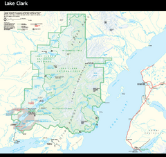
Lake Clark National Park & Preserve Park Map
Official NPS map of Lake Clark National Park & Preserve in Alaska. The park is open year-round...
1974 miles away

