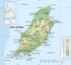
Isle of Man Topo Map
Topographical map of the Isle of Man showing roads, rail tracks, geographic features, and towns...
2661 miles away
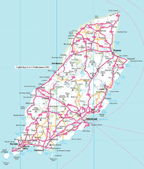
Isle of Man roads Map
2661 miles away
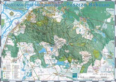
Map_Puszcza_Bukowa_Szczecin_PL.jpg Map
Map Map_Puszcza_Bukowa_Szczecin_PL.jpg is a tourist map made with an extensive use of GlobalMapper...
2663 miles away
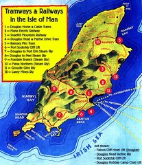
Isle of Man Railways and trams Map
2664 miles away
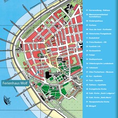
Norderney Tourist Map
Tourist street map of Norderney
2664 miles away
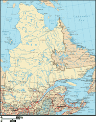
Quebec Map
Province of Quebec, Canada map
2665 miles away
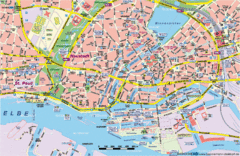
Hamburg Street Map
Street map of central Hamburg, Germany. Shows many canals.
2665 miles away
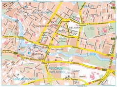
Bydgoszcz Tourist Map
Tourist map of central Bydgoszcz, Poland. Shows points of interest.
2667 miles away
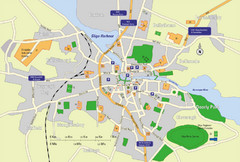
Sligo City Map
Map of Sligo with tourist information
2668 miles away
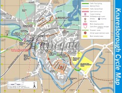
Knaresborough Cycling Map
Shows traffic free cycling routes, advisory routes, traffic calmed roads, cycle lanes, bike shops...
2668 miles away
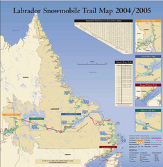
Labrador Snowmobiling Trail Map
Trail map of Labrador, Canada with inset maps of specific trail areas.
2668 miles away

Chernobyl radiation Map
2669 miles away
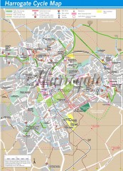
Harrogate Cycling Map
Shows traffic free cycling routes, advisory routes, traffic calmed roads, cycle lanes, bike shops...
2670 miles away
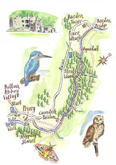
A walk around Bolton Abbey Yorkshire Map
A walk around Bolton Abbey in Yorkshire, Uk. Produced for Dales Life Magazine.
2670 miles away
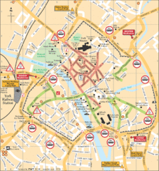
York Tourist Map
2671 miles away
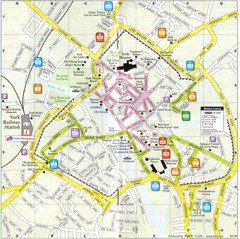
York England Tourist Map
Tourist map of York England showing roads, tourist sites ad railways.
2671 miles away
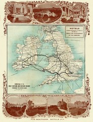
Historic United Kingdom Railroad Map
Guide to the connections of the Great Southern and Western Railways in the British Isles
2671 miles away
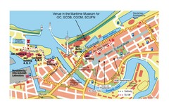
Bremerhaven City Map
City map of central Bremerhaven, Germany. Alfred Wegener Institute for Polar and Marine Research...
2671 miles away
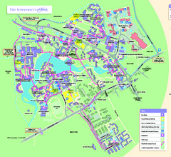
University of York Map - Heslington Campus
Campus map of the University of York Heslington Campus near York, England.
2671 miles away
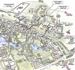
University of York Campus Map
Relevant landmarks and main roads and buildings
2671 miles away

Wapiti Valley Ski Trail Map
Trail map from Wapiti Valley, which provides downhill skiing. This ski area has its own website.
2672 miles away
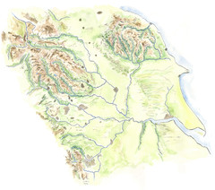
Yorkshire topography Map
2673 miles away
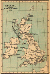
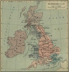
878 England Map
Guide to England after the Peace of Wedmore
2674 miles away
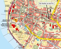
Borkum Street Map
Street map of town of Borkum
2674 miles away
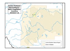
Aspen Parkland Natural Region Map
Map of area defined in the current vegetation / land use database for the Aspen Parkland Natural...
2675 miles away
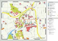
Aurich Tourist Map
Aurich tourist street map
2679 miles away
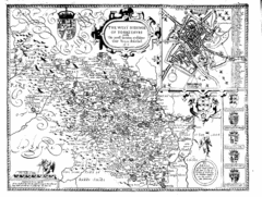
1610 Yorkshire County Historical Map
A 1610 map of Yorkshire Country in the United Kingdom
2679 miles away
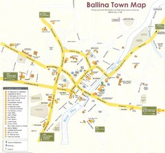
Ballina Town Map
2680 miles away
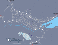
Williams Lake Town Map
2682 miles away
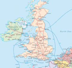
United Kingdom Transit Map
Guide to rail and ferries in the United Kingdom and surrounds
2683 miles away
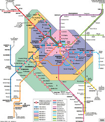
Leeds Metro Train Diagram Map
Metro system map for Leeds, England and surrounding cities.
2683 miles away
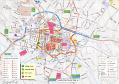
Leeds Tourist Map
Tourist map of city center of Leeds, UK
2683 miles away
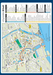
Hull City Centre Map
Tourist map of city of Hull. Shows points of interest including shopping, attractions, places...
2684 miles away
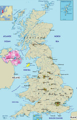
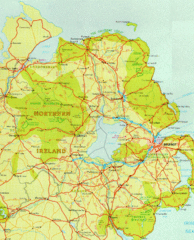
Northern Ireland Political Map
Guide to Northern Ireland and major cities in the United Kingdom
2684 miles away
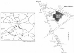
University of Leeds Campus Map
Various buildings on the University of Leeds campus
2684 miles away
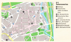
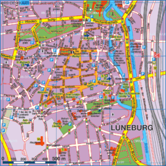
Luneburg Map
2685 miles away

