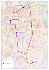
Gasworks/Belfast city centre shuttle Bus Map
Shuttle Bus service map between the Gasworks Estate and Belfast city centre.
2639 miles away
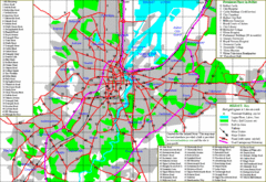
Belfast Map
2639 miles away
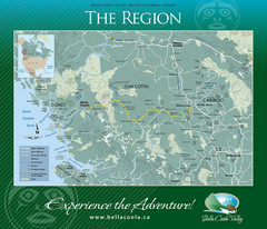
Bella Coola Valley Region Map
Shows large region around Bella Coola, British Columbia, from the northern tip of Vancouver Island...
2639 miles away
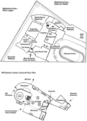
Odyssey Complex Public Service Attraction Visitor...
Odyssey complex site map, displaying the locations of all attractions, restaurants, stores...
2640 miles away
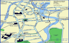
Belfast City Map
City map of Belfast with tourist information
2640 miles away
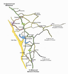
Whitehaven Wanderer Bus Route Map
2640 miles away
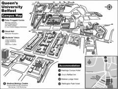
Queen's University Belfast Campus Map
Campus map of Queen's University Belfast in Belfast, Northern Ireland
2640 miles away
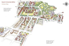
Queen's University Belfast Map
Guide to campus and botanical gardens
2640 miles away
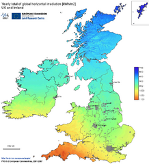
United Kingdom Solar Radiation Map
Guide to yearly total of global horizontal solar irradiation
2640 miles away
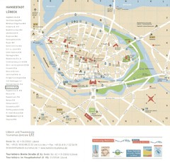
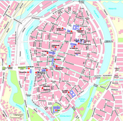
Luebeck Tourist Map
Street tourist map of city center
2641 miles away
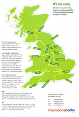
United Kingdom Map
2641 miles away
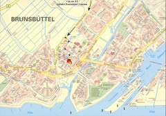
Brunsbüttel Map
Street map of Brunsbüttel and surrounding region
2644 miles away
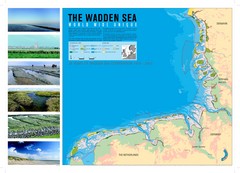
Wadden Sea Map
Map of Wadden Sea area and trilateral conservation area. Consists of lands and waters in The...
2645 miles away
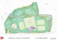
Wallace Park Map
2645 miles away
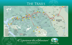
Bella Coola Valley Trail Map
Shows trails in region around Bella Coola, Hagensborg, and Firvale, British Columbia. Shows some...
2645 miles away
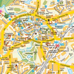
Bad Oldeshloe Map
Street map of downtown Bad Oldeshloe
2646 miles away
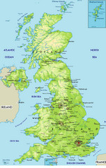
United Kingdom Physical Map
Guide to topography and physical features of Great Britain
2647 miles away
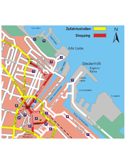
Cuxhaven Center Tourist Map
Tourist map of Cuxhaven center
2648 miles away
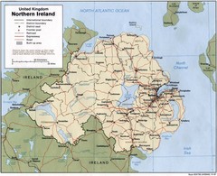
Northern Ireland Map
Map of Northern Ireland showing roads, cities, railroads and borders.
2648 miles away
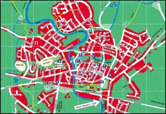
Otterndorf Map
Street map of Otterndorf
2651 miles away
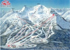
Jasper’s Marmot Basin Future Lift for Ski Trail...
Trail map from Jasper’s Marmot Basin, which provides downhill skiing. This ski area has its own...
2652 miles away
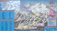
Jasper’s Marmot Basin Ski Trail Map
Trail map from Jasper’s Marmot Basin, which provides downhill skiing. This ski area has its own...
2652 miles away
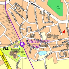
Quickborn Center Map
Street map of Quickborn town center
2654 miles away
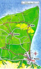
Ramsey, Isle of Man City Map
2654 miles away
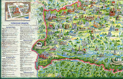
Western Belarus Tourist Map
Illustrated tourist map of western Belarus from book. Shows points of interest.
2655 miles away
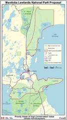
Manitoba Lowlands National Park Tourist Map
2655 miles away
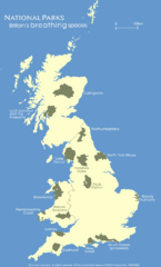
UK National Park Map
Shows locations of all national parks in the United Kingdom.
2656 miles away
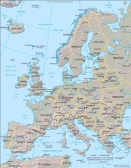
Europe Physical Map
2657 miles away
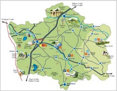
Banbridge District Tourism Map
Shows the locations of the main visitor attractions in the Banbridge District of Northern Ireland...
2657 miles away
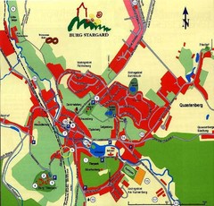
Burg Stargard Tourist Map
tourist map of Burg Stargard
2658 miles away
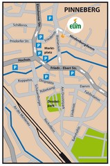
Pinneberg Center Map
Map of Pinneberg town center
2658 miles away
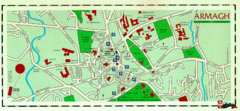
Armagh Ireland Street Map
Street Map of Armagh City, Ireland showing tourist information center, streets, churches and...
2658 miles away
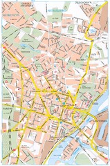
Szczecin Tourist Map
Tourist map of central Szczecin, Poland. Shows points of interest.
2658 miles away
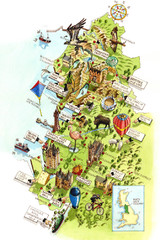
North West England Map
North West England map by Katherine Baxter
2660 miles away
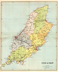
Isle of Man Map
2661 miles away
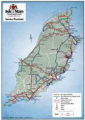
Isle of Man Transportation Map
2661 miles away


