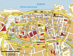
Rostock Center Map
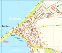
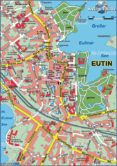
Street map of town center
2621 miles away

Rostock Map
2621 miles away
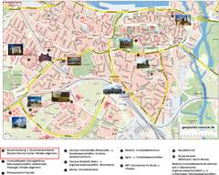
Rostock Tourist map
Tourist map of Rostock
2621 miles away
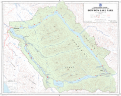
Bowron Lake Park Map
Topographical map of Bowron Lake Park
2621 miles away
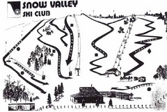
Snow Valley Ski Club ? Ski Trail Map
Trail map from Snow Valley Ski Club, which provides downhill skiing. This ski area has its own...
2622 miles away

Stanley, British Columbia Map
2622 miles away
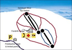
Swinhope Moor Sketch Ski Trail Map
Trail map from Swinhope Moor.
2622 miles away
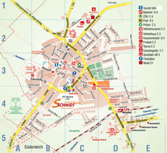
Wesselburen Tourist Map
Tourist street map of Wesselburen
2623 miles away
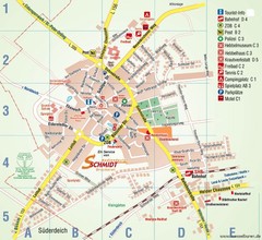
Wesselburen Tourist Map
Tourist map of Wesselburen
2623 miles away
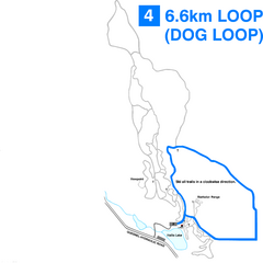
Hallis Lake Dog Loop Ski Trail Map
Trail map from Hallis Lake, which provides night and nordic skiing. This ski area has its own...
2626 miles away

Hallis Lake Lighted Ski Trail Map
Trail map from Hallis Lake, which provides night and nordic skiing. This ski area has its own...
2626 miles away
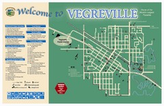
Vegreville Tourist Map
Tourist map of Vegreville, Alberta. Shows points of interest.
2627 miles away
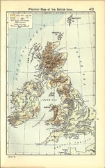
1911 British Isles Physical Map
Guide to physical features of the United Kingdom, then known as the British Isles
2627 miles away
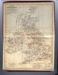
1910 Great Britain Map
2628 miles away
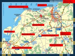
Rostok Region Tourist Map
2628 miles away
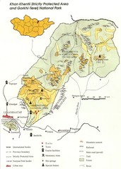
Khan Khentii Strictly Protected Area Map
2628 miles away
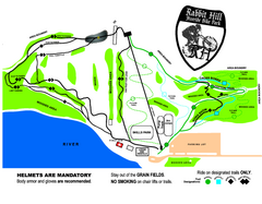
Rabbit Hill Ski and Snowboard Center Mountain...
Trail map from Rabbit Hill Ski and Snowboard Center, which provides downhill skiing. This ski area...
2629 miles away
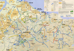
Redcar & Cleveland Horse Riding Routes Map
Horseriding route map of Redcar & Cleveland area, England shows public bridleways, public...
2629 miles away
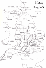
Tudor England Counties Map
Guide to the counties of England under Tudor reign
2629 miles away

Opfer des Nationalsozialismus in Dithmarschen Map
2629 miles away
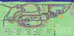
Devon Lions Park Campgrounds Map
2630 miles away
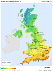
Solar radiation map of United Kingdom
Solar radiation map of UK, Global horizontal irradiation, Solar map UK
2630 miles away
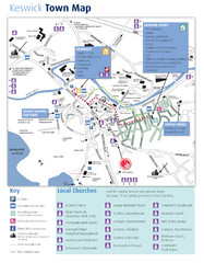
Keswick Town Map
Map of Keswick with Christian locations identified
2632 miles away
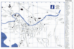
Keswick Tourist Map
Tourist map of Keswick, England. Shows all points of interest and has a street index.
2632 miles away
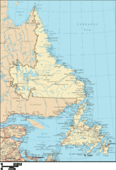
Newfoundland and Labrador Map
Detailed Newfoundland map
2632 miles away
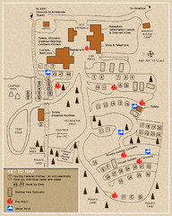
Castle Rigg Park Map
2632 miles away

Owenea Fishery Map
Road Map of Owenea Fishery. Shows the location of the Owenea Fishery including all roads, towns...
2634 miles away
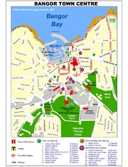
Bangor Town Centre Map
2634 miles away
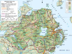
Northern Ireland General Map
Guide to Northern Ireland, major cities, topography and roads
2636 miles away
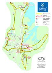
Belfast City Marathon Map
Event and the marathon map.
2637 miles away
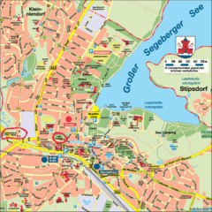
Bad Segeberg Tourist Map
Tourist street map of bad Segeberg
2638 miles away
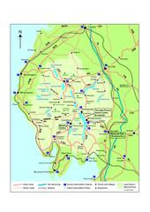
Lake District National Park Map
Detailed map marking the roads and boundaries of on of Britain's National Parks.
2639 miles away
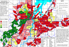
Belfast Religious Distribution Map
Guide to proportion of Catholics in each Belfast ward
2639 miles away
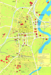
Belfast Tourist Map
Tourist map of center of Belfast, Northern Ireland, UK. Major buildings highlighted.
2639 miles away
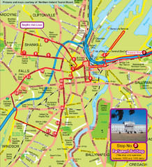
Belfast Bus Tour Map
2639 miles away

