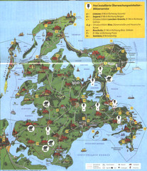
Rügen Tourist Map
Tourist map of the island of Rügen, Germany's largest island.
2591 miles away
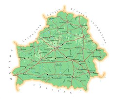
Belarus Map
2600 miles away
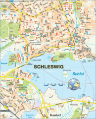
Schleswig Map
Map of Schleswig region
2600 miles away
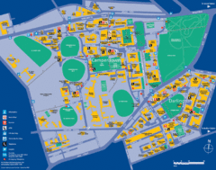
Camperdown Tourist Map
Guide map for Camperdown and Darlington, United Kingdom
2601 miles away
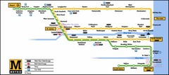
Newcastle Metro System Map
2602 miles away
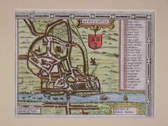
1611 Newcastle-Upon-Tyne Historic Map
Guide to historic Newcastle upon Tyne
2602 miles away
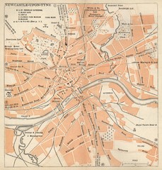
Newcastle upon Tyne Map
1920 Michelin Map to Newcastle upon Tyne, UK
2602 miles away
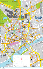
Newcastle Tourist Map
Tourist map of central Newcastle Upon Tyne, UK. Shows points of interest.
2602 miles away
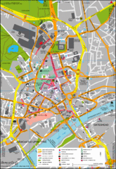
Newcastle City Map
City center map of Newcastle Upon Tyne, UK
2602 miles away

England Tourist Map
Cities and countries in England
2602 miles away
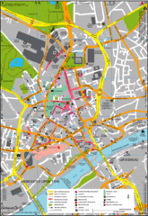
Newcastle Upon Tyne City Map
City map of Newcastle Upon Tyne with tourist information and some of Gateshead
2602 miles away
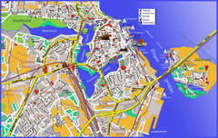
Stralsund Tourist Map
Tourist map of Stralsund
2603 miles away
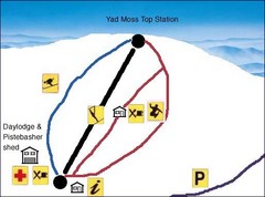
Yad Moss Sketch Ski Trail Map
Trail map from Yad Moss.
2606 miles away
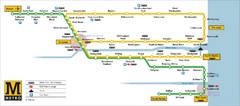
Tyne and Wear Metro Route Map
Map of metro transit routes throughout Tyne and Wear
2609 miles away
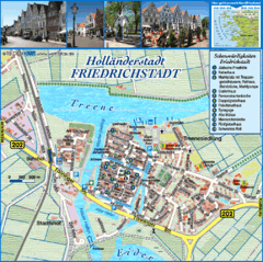
Friedrichstadt Tourist Map
Tourist street map of Friedrichstadt
2611 miles away
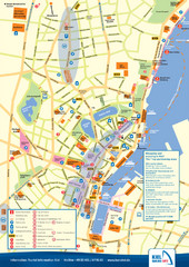
Kiel Tourist Map
Tourist map of Kiel, Germany. Shows streets, hotels, and points of interest.
2612 miles away

Kiel Map
2612 miles away

Edmonton, Alberta Tourist Map
Edmonton, Alberta and the area west of it
2613 miles away
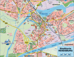
Rendsburg Map
Street map of city of Rendsburg
2614 miles away
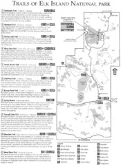
Elk Island National Park Trail Map
Map of hiking trails of Elk Island National Park, Alberta
2615 miles away
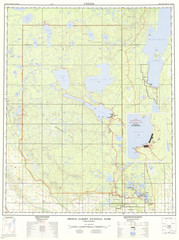
Prince Albert National Park Topo Map
Topographical map of Prince Albert National Park in Saskatchewan, Canada. From atlas.nrcan.gc.ca...
2615 miles away
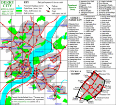
Derry/Londonderry Map
2615 miles away

Warnemunde 1 Map
2615 miles away
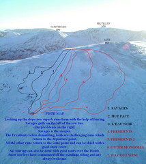
Raise Ski Trail Map
Trail map from Raise.
2615 miles away
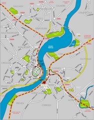
Londonderry Map
2616 miles away
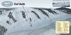
Sunridge Ski Area Ski Trail Map
Trail map from Sunridge Ski Area, which provides downhill skiing. This ski area has its own website.
2617 miles away
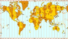
Welt Zeitzonen Map
2617 miles away
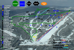
2004–07 Troll Downhill Map
Trail map from Troll. This ski area opened in 1972.
2618 miles away
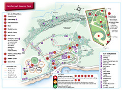
Carnfunnock Country Park Map
2618 miles away
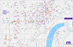
Edmonton Center Transportation Map
Bus and light rail public transportation map of center of Edmonton, Alberta, Canada.
2618 miles away
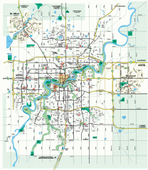
Edmonton Map
City street map of the metro Edmonton area in Alberta.
2618 miles away
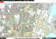
Edmonton, Alberta Tourist Map
2618 miles away
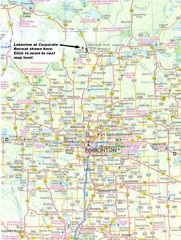
Edmonton, Alberta Tourist Map
2618 miles away
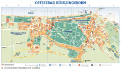
Kühlungsborn Map
Map of Kühlungsborn
2619 miles away
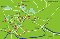
Letterkenny Map
2619 miles away
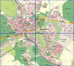
Doberan Map
Street map of city of Doberan
2621 miles away

