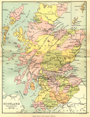
Scotland Counties Map
Map of Scotland and its counties
2465 miles away
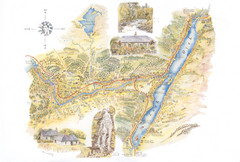
Invergarry Tourist Map
Tourist map of Invergarry, Scotland
2466 miles away

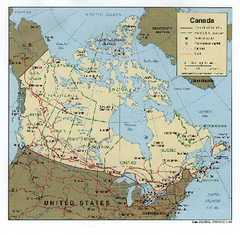
Map of Canada Circa 1900
2466 miles away
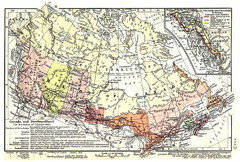
1911 Map of Canada and Newfoundland by Shepherd
This map was from the beautiful 1911 Historical Atlas by William R. Shepherd. Enjoy it!
2466 miles away
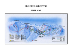
Glenshee Ski Centre Ski Trail Map
Trail map from Glenshee Ski Centre.
2467 miles away
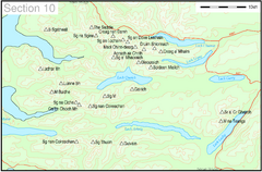
Munro Colour Contour Map Sec10
The list of hills and the grid references are from Wikipedia. The coastline is derived from data...
2469 miles away
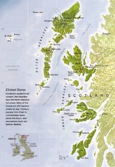
Hebrides Islands Map
2475 miles away
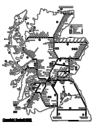
Scotland Rail Map
Guide to rail and ferries in Scotland
2478 miles away
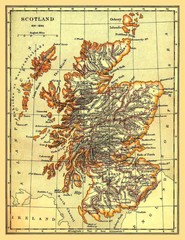
1641-1892 Scotland Map
Guide to Scotland and its counties, from 1641-1892
2478 miles away

Alaskan Aleutian Islands Map
2478 miles away
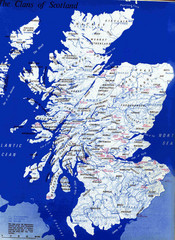
Scotland Clan Map
Guide to clans and prominent families in Scotland
2478 miles away

Central Ryazan Guide Map
2479 miles away
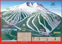
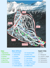
Ski Smithers Ski Trail Map
Trail map from Ski Smithers, which provides downhill and terrain park skiing. It has 3 lifts...
2479 miles away

Ryazan Map
2479 miles away

Ryazan Map
2479 miles away
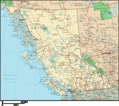
British Columbia Map
Detailed British Columbia Map
2480 miles away
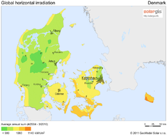
Solar Radiation Map of Denmark
Solar Radiation Map Based on high resolution Solar Radiation Database: SolarGIS. On the Solar Map...
2480 miles away
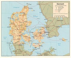
Denmark Map
Map of Denmark showing cities, roads, railways and borders.
2480 miles away
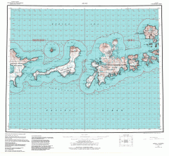
Adak Alaska Topo Map
Topo map of former military outpost. 1:250,000 Scale. City incorporated in 2001.
2481 miles away
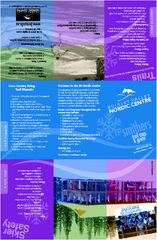
Bulkley Valley Ski Trail Map
Trail map from Bulkley Valley, which provides night and nordic skiing. This ski area has its own...
2482 miles away
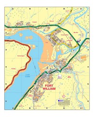
Fort William, Scotland Map
Map shows Fort William including all streets, train tracks, rivers, and streams.
2484 miles away
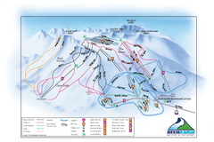
Nevis Range Ski Trail Map
Trail map from Nevis Range.
2484 miles away
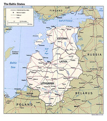
Baltic States Map
2484 miles away
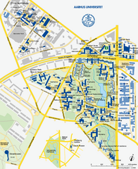
Aarhus University Map
Official map of Aarhus University in Arhus, Denmark
2484 miles away
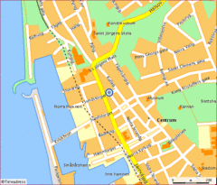
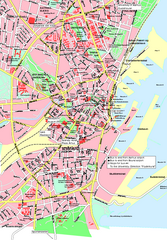
Helsingborg City Map
Map of city center with detail of main roads
2484 miles away
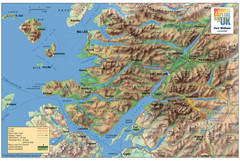
Fort William Area Shaded Relief Map
Shaded relief map of the Fort William, Lochaber, Scotland area. Shows roads, peaks, and vegetation...
2484 miles away
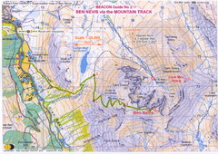
Ben Nevis Trail map
Map of the mountain track to the summit of Ben Nevis, the highest mountain in Scotland and the...
2485 miles away
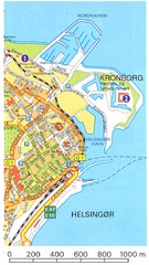
Helsingor - Krongborg Castle Map
2485 miles away
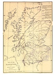
Scotland Glaciation Map
Guide to glacial movement that formed Scotland
2486 miles away
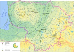
Lithuania physical Map
2489 miles away
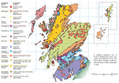
Scotland Geology Map
Guide to Scotland and its geology
2491 miles away
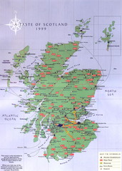
Scotland Road Map
Guide to Scotland, its major cities and roads
2491 miles away
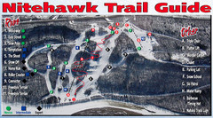
Nitehawk Ski Hill Ski Trail Map
Trail map from Nitehawk Ski Hill, which provides downhill skiing. This ski area has its own website.
2493 miles away
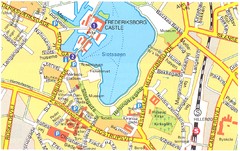
Frederiksborg Castle - Hillerod Map
2494 miles away
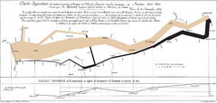
Napoleon’s Invasion of Russia Map
Famous map by Charles Joseph Minard of Napoleon's 1812 invasion of Russia showing the...
2494 miles away
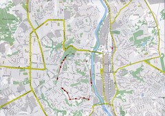
Smolensk Map
2498 miles away

