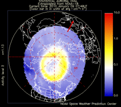
Aurora Borealis in Real Time Map
Aurora Borealis as seen by satellite superimposed on the northern hemisphere of the globe.
0 miles away
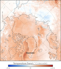
Arctic Temperature Change: 1987 -- 2007 Map
0 miles away
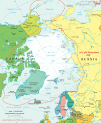
Arctic Map
Top view of all areas included in the Arctic
284 miles away
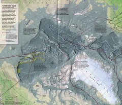
Arctic Ocean floor Map
340 miles away
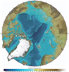
Arctic Ocean Bathymetry Map
491 miles away
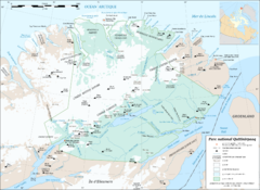
Parc National Quttinirpaaq Map
Map of Quttinirpaaq National Park, Nunavut, Canada. Shows glaciers, rivers, bodies of water, and...
762 miles away
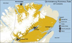
Quttinirpaaq National Park map
Official Parks Canada map of Quttinirpaaq National Park. From Parks Canada website: "Far to...
767 miles away
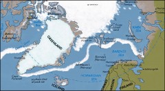
Arctic Ocean Map
Map of the Arctic Ocean. Shows the Arctic Circle
874 miles away
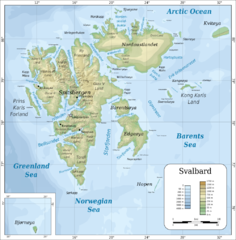
Svalbard islands topo Map
896 miles away
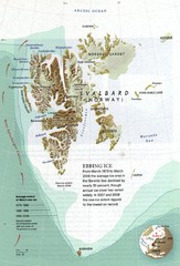
Svalbard's Ebbing Ice Map
900 miles away
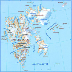
Svalbard Physical Map
Physical map of Svalbard, Norway. The northernmost part of the kingdom of Norway. Shows ice...
903 miles away
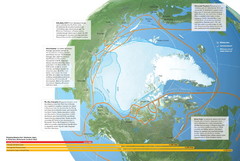
Northwest Passage Map
The ways travel could change if the Northwest Passage were to be re-opened
932 miles away
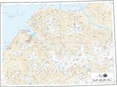
Longyearbyen Area Topo Map
Topo map of area around Longyearbyen, Svalbard Islands
950 miles away
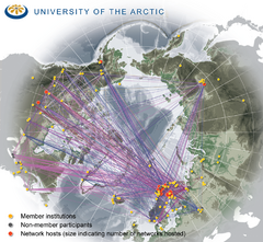
University of the Arctic Thematic Networks map
University of the Arctic represents a network with more than 100 institutions around the...
1003 miles away
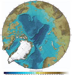
Arctic Ocean Bathymetric Map
Bathymetric map of Arctic Ocean shows all ocean topography and topographical tints for land.
1009 miles away
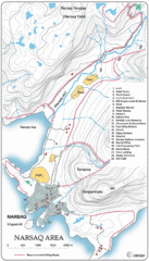
Narssaq City Map
Clearly marked city map and legend.
1103 miles away
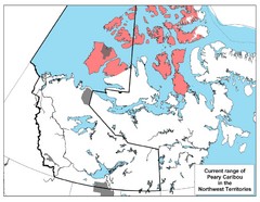
Peary Caribou Range Map
1194 miles away
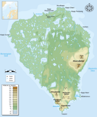
Bear Island Bjørnøya Norway Map
Elevation map of Bear Island, Norway (Bjørnøya) in the Barents Sea, the southernmost...
1200 miles away
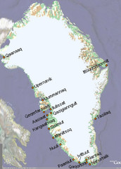
Greenland City Names Map
Map of Greenland shows city names.
1249 miles away

Inuviauit Settlement Region Map
Northern Alaskan regions
1269 miles away
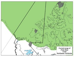
Polar Bear Range in Northwest Territories Map
1276 miles away
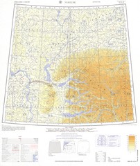
Norlisk Region Topo Map
Topo map of city of Norlisk, Russia in Siberia. Created by U.S. Army
1277 miles away
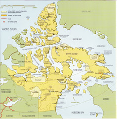
Nunavut Map
Map of Nunavut, Canada. Shows parks and geographical features in the territory.
1377 miles away
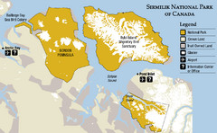
Sirmilik National Park Map
Official map of Sirmilik National Park in Nunavut, Canada. Comprises Borden Peninsula, Bylot...
1381 miles away
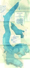
McCall Glacier Topo Map
Topographic map of the McCall Glacier in Alaska.
1414 miles away
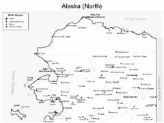
Northern Alaska Airports Map
1437 miles away
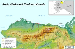
Arctic Alaska and Northwest Canada Map
Guide to northern Alaska and Canada, showing the ANWR, NPRA and pipelines
1439 miles away

Arctic Refuge Coastal Plain Map
Guide to birthplace and nursery grounds of the porcupine caribou herd
1450 miles away
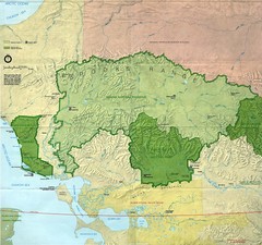
Kobuk Valley National Park and Noatak National...
NPS map of Kobuk Valley National Park and Noatak National Preserve, Alaska
1462 miles away
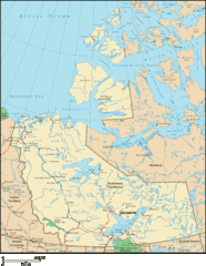
Northwest Territories Map
Overview map of the Northwest Territories of Canada.
1465 miles away
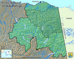
Arctic National Wildlife Refuge Boundary Map
Guide to the Arctic National Wildlife Refuge in Alaska
1474 miles away
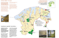
Finnmark Nature Parks and Reserves Map
National parks and nature reserves of Norwegian county of Finnmark. From wikipedia: "In the...
1481 miles away
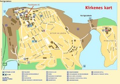
Kirkenes City Map
City map of Kirkenes with tourist information and hotels
1482 miles away
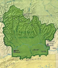
Kobuk Valley National Park Map
Official NPS map of Kobuk Valley National Park in Alaska. Kobuk Valley National Park is open year...
1485 miles away
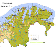
Finnmark County Map
Elevation map of Finnmark County, Norway. Color shading shows meters above sea level and national...
1489 miles away
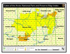
Gates of the Arctic National Park and Preserve...
Official NPS map of Gates of the Arctic National Park and Preserve in Alaska. Shows all areas. The...
1490 miles away
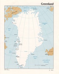
Greenland Tourist Map
1506 miles away
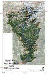
North Fork Koyukuk Watershed - Alaska Map
Map showing the North Fork Koyukuk River watershed, Alaska as explored by Bob Marshall in the 1930...
1506 miles away

