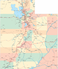
Continental Divide Map
241 miles away
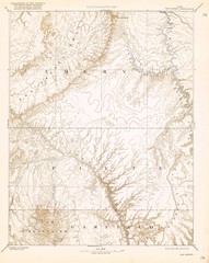
Topo Map of San Rafael Quadrant circa 1885
This is one of four USGS maps from the 1880's and 90's depicting the area around the...
242 miles away
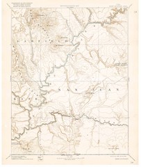
Henry Mtns Topo Map, circa 1892
One of a set of four maps circa 1890s by USGS depicting the area around the Henry Mtns and Capitol...
242 miles away
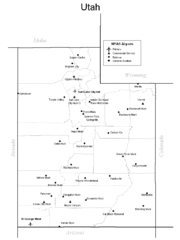
Utah Airports Map
243 miles away
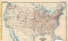
Highway Plan 1926 Map
244 miles away
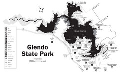
Glendo State Park Map
Glendo State Park is best known for its excellent boating opportunities, with plenty of areas for...
248 miles away
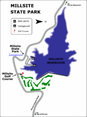
Millsite State Park Map
Camp in the quiet campground, and boat and fish on the blue waters of Millsite Reservoir. Play 18...
249 miles away
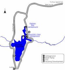
Scofield State Park Map
Camp, boat, and fish at this summer and winter recreation destination situated high in the Manti...
251 miles away
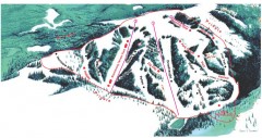
Hogadon Ski Area Trail Map
Ski trail map of Hogadon ski area, located on Casper Mountain
252 miles away
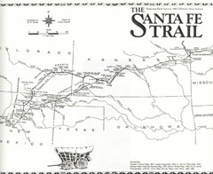
Santa Fe Trail Map
Historic map of the Santa Fe caravan trail
253 miles away

Mirror Lake Highway Map
254 miles away
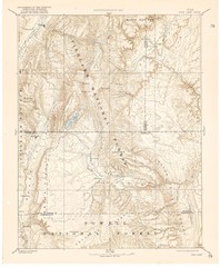
Topo Map of Capitol Reef Region (Fish Lake Quad...
This is one of four USGS maps done by the Powell survey and depicting the area around Capitol Reef...
256 miles away
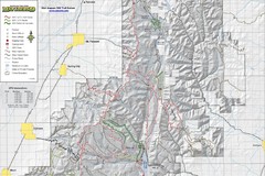
Utah Arapeen OHV Trail System- North Map
The Utah Arapeen OHV Trail System located in near the Towns of Fairview, Ephraim, and Mant, Utah.
257 miles away
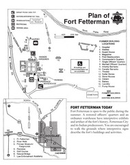
Fort Fetterman State Historic Site Map
Fort Fetterman, located approximately 11 miles northwest of Douglas. The fort was established as a...
258 miles away
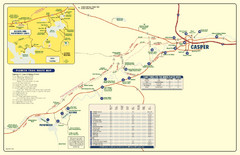
Casper, Wyoming City Map
258 miles away
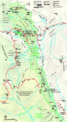
Capitol Reef National Park Official Map
Official NPS map of Capitol Reef National Park in Utah. Map shows all areas. The park and...
259 miles away
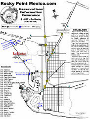
Rocky Point, New Mexico Tourist Map
259 miles away
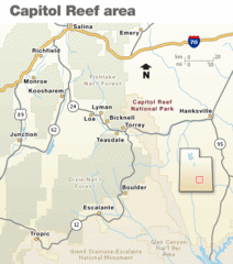
Capitol Reef National Park Map
Clear map marking major highways and cities.
260 miles away
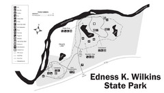
Edness Kimball Wilkins State Park Map
Edness K. Wilkins State Park is a serene day-use park located 6 miles east of Casper off Interstate...
260 miles away
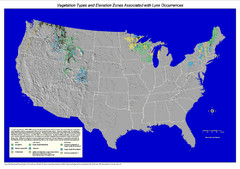
Vegetation types and elevation zones associated...
Historic Lynx Distribution Map for Lynx population from 1842 - 1998 shown on a United States map...
262 miles away
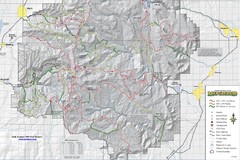
Utha Arapeen OHV Trail System- South Map
Utah Arapeen OHV Trail System map. Located near the towns of Fairview, Ephraim, and Manti, Utah.
263 miles away

Timber Lakes Plat 1 Map
Timber Lakes Plat 1 Amended
266 miles away

Timber Lakes Plat 4 Map
266 miles away

Shaded Relief Timber Lakes Estates Map
266 miles away

Timber Lakes Plat 5 Map
266 miles away

Timber Lakes Plat 6 Map
266 miles away

Timber Lakes Plat 7 Map
266 miles away

Timber Lakes Plat 11 Map
267 miles away

Timber Lakes Plat 9 Map
267 miles away
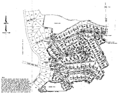
Timber Lakes Plat 8 Map
267 miles away

Timber Lakes Plat 8 Map
267 miles away

Timber Lakes Plat 3 Map
268 miles away

Timber Lakes Plat 2 Map
268 miles away

Timber Lakes Plat 13 Map
268 miles away
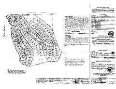
Timber Lakes Plat 12 Map
269 miles away

Timber Lakes Plat 14 Map
269 miles away
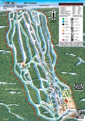
Sandia Peak Ski Trail Map
Official ski trail map of Sandia Peak ski area from the 2007-2008 season.
270 miles away
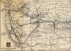
1925 Union Pacific Railroad Map Part 1
Guide to the Union Pacific railroad lines across the western half of the United States
271 miles away
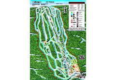
Sandia Peak Ski Area Ski Trail Map
Trail map from Sandia Peak Ski Area.
271 miles away

