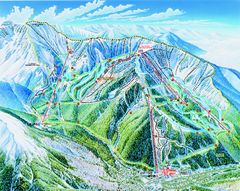
Taos Ski Valley Trail map
Official ski map of Taos Ski Valley. 12 lifts servicing 1,294 acres.
185 miles away
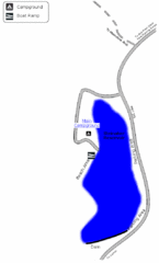
Steinaker State Park Map
Fish for rainbow trout and largemouth bass, and enjoy sandy beaches, swim, boat, and waterski at...
185 miles away
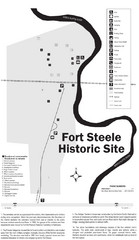
Fort Fred Steele State Historic Site Map
This frontier Army post has a fascinating history interlacing transportation with the military and...
186 miles away
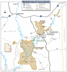
Canyonlands National Park Map
Clear map and key marking cities, rivers, highways and points of interest.
189 miles away
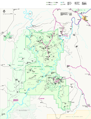
Canyonlands National Park Official Park Map
Official NPS map of Canyonlands National Park. Located in Utah. Map shows all areas but does not...
190 miles away
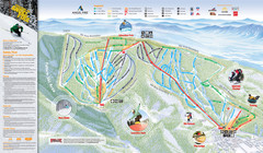
Angel Fire Resort Ski Trail Map
Trail map from Angel Fire Resort.
201 miles away
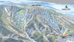
Angel Fire Ski Trail Map
Official ski trail map of Angel Fire ski area from the 2007-2008 season.
202 miles away
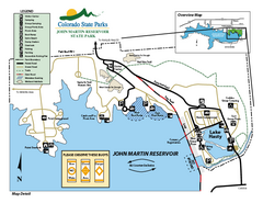
John Martin State Park Map
Map of park with detail of recreation zones
204 miles away
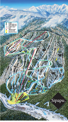
Sipapu Ski Area Ski Trail Map
Trail map from Sipapu Ski Area.
207 miles away
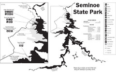
Seminoe State Park Map
Seminoe State Park offers excellent fishing, boating and wildlife-viewing opportunities.
208 miles away
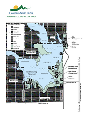
North Sterling State Park Map
Map of park with detail of recreation zones
209 miles away
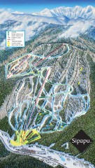
Sipapu Ski Trail Map
Official ski trail map of Sipapu ski area from the 2007-2008 season.
212 miles away
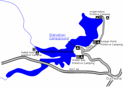
Starvation State Park Map
The sprawling waters of Starvation Reservoir offer great fishing and boating. Find a secluded...
221 miles away
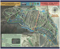
Pajarito Mountain Summer Bike Hike Trail Map
Pajarito Ski Area offers summer bike and hike lift service weekends. When lifts are not running...
223 miles away
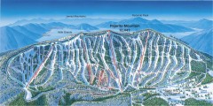
Pajarito Ski Trail Map
Official ski trail map of Pajarito ski area from the 2007-2008 season.
223 miles away
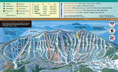
Pajarito Mountain Ski Trail Map
Trail map from Pajarito Mountain.
223 miles away
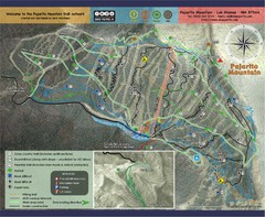
Pojarito Mountain bike Trail Map
Bike trail for Pojarito Mountain, New Mexico
223 miles away
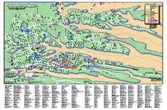
Los Alamos Street map
Los Alamos, New Mexico street and point of interest map. Mesas are colored green.
223 miles away
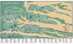
Los Alamos, New Mexico City Map
223 miles away
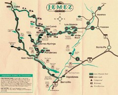
Jemez Mountains, New Mexico Tourist Map
223 miles away
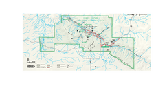
Chaco Culture National Historical Park Official...
Official NPS map of Chaco Culture National Historical Park in New Mexico. The park is open...
224 miles away
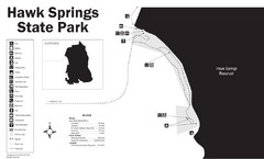
Hawk Springs State Park Map
Hawk Springs Recreation Area has activities for everyone to enjoy: boating, waterskiing, fishing...
226 miles away
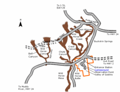
Goblin Valley State Park Map
The vast landscape of sandstone goblins may have visitors wondering if they're in Mars or Utah...
227 miles away
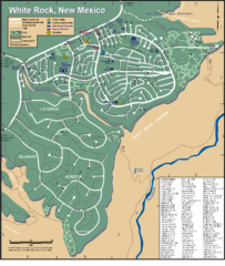
White Rock Road Map
Large and detailed map marking points of interest and roads.
229 miles away
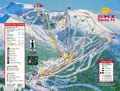
Ski Santa Fe Ski Trail Map
Official ski trail map of Ski Santa Fe ski area from the 2006-2007 season.
233 miles away
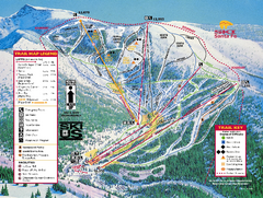
Ski Santa Fe Resort Ski Trail Map
Trail map from Ski Santa Fe Resort.
233 miles away
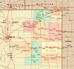
Northeast Colorado Map
234 miles away
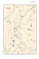
Kings Peak Trail Map
Trail map of route to Kings Peak, highest mountain in Utah at 13,528 ft. Route is around 30 miles...
235 miles away
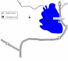
Huntington Lake State Park Map
Take a hike around this beautiful lake.
236 miles away
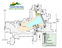
Bonny Lake State Park Map
Map of park with detail of recreation areas
236 miles away
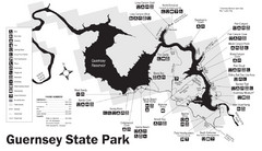
Guernsey State Park Map
The park has long been known as a haven for boating, camping, hiking and picnicking, but its real...
239 miles away
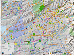
Santa Fe Bike and Trail Map
Trail and bikeway map of Santa Fe, New Mexico
239 miles away
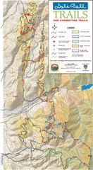
Dale Ball Trail Map
Map of the Dale Ball Trail system includes 22.2 miles of hiking and mountain biking trails that...
239 miles away
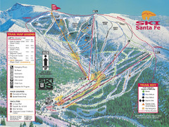
Santa Fe, New Mexico Ski Map
240 miles away
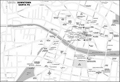
Downtown Santa Fe, New Mexico Map
240 miles away
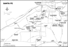
Santa Fe, New Mexico City Map
240 miles away
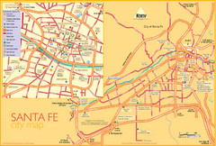
Santa Fe Tourist Map
Tourist map of Santa Fe, New Mexico. Inset shows downtown Santa Fe in detail.
240 miles away
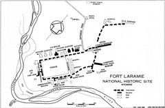
Fort Laramie Guide Map
A layout of the National Historic site Fort Laramie in Wyoming.
240 miles away
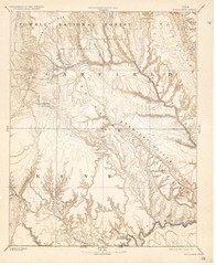
Topo Map of Escalante Quadrant, UT circa 1886
One of four USGS maps detailing the area around Capitol Reef National Park and Glen Canyon circa...
240 miles away
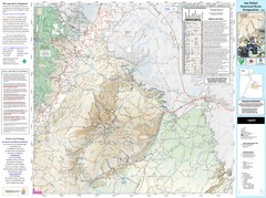
San Rafael, Utah Trail Map
Trails and main roads near Manti-LaSal National Forest and Castle Dale in Emery County, Utah
240 miles away

