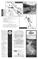
Castlewood Canyon State Park Map
Map of park with detail of trails and recreation zones
98 miles away
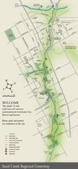
Sand Creek Regional Greenway Map
While the Sand Creek Regional Greenway trail is now usable, the Greenway will be under construction...
99 miles away
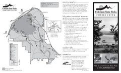
Cherry Creek State Park Map
Map of park with detail of recreation ares
99 miles away
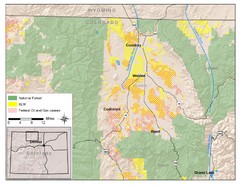
North Park Colorado Map
101 miles away
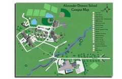
Alexander Dawson School Map
Campus map
102 miles away
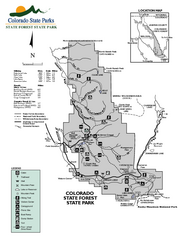
State Forest State Park Map
Map of park with detail of trails and recreation zones
103 miles away
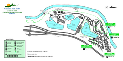
Island Acres State Park Map
Map of island acres section of the James M Robb Colorado River State Park
104 miles away
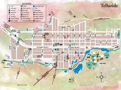
Telluride Town Map
105 miles away
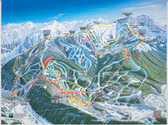
Telluride, Colorado Trail Map
105 miles away
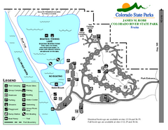
Fruita Area State Park Map
Map of fruita section of the James M Robb Colorado River State Park
106 miles away
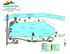
Corn Lake State Park Map
Map of corn lake section of the James M Robb Colorado River State Park
107 miles away
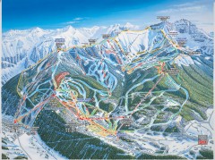
Telluride ski trail map
Official ski trail map of Telluride ski area from the 2006-2007 season.
107 miles away
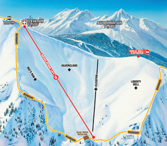
Telluride Revelation Bowl Ski Trail Map
Trail map from Telluride, which provides downhill, nordic, and terrain park skiing. It has 18 lifts...
107 miles away
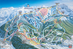
Telluride Ski Trail Map
Trail map from Telluride, which provides downhill, nordic, and terrain park skiing. It has 18 lifts...
107 miles away
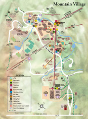
Mountain Village Tourist Map
Tourist map of Mountain Village, Colorado at the Telluride Ski Area.
107 miles away
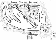
Kendall Mountain Ski Trail Map
Trail map from Kendall Mountain, which provides downhill and nordic skiing. It has 1 lift servicing...
107 miles away
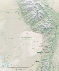
Great Sand Dunes National Park and Preserve map
Official NPS map of Great Sand Dunes National Park and Preserve. Park includes the tallest dune in...
108 miles away
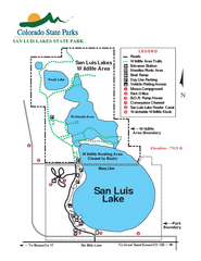
San Luis State Park Map
Map of park with detail of recreation zones
108 miles away
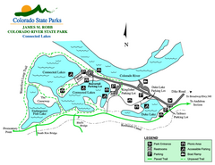
Connected Lakes State Park Map
Map of connected lakes section of the James M Robb Colorado River State Park
108 miles away
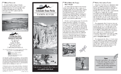
Yampa River State Park Map
Map of park with detail of recreation zones
109 miles away
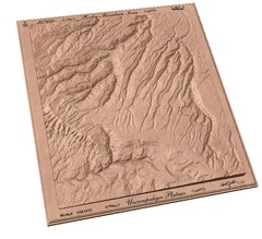
Uncompahgre Plateau by carvedmaps.com Map
Uncompahgre Plateau
109 miles away
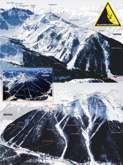
Silverton Ski Trail Map
Ski trail map of Silverton Mountain in Silverton, Colorado. Lift-serviced backcountry conditions...
110 miles away
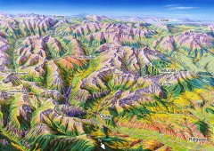
Ouray, Colorado area map
Regional artistic aerial view of the Ouray area and surrounding San Juan Mountains. Shows...
110 miles away
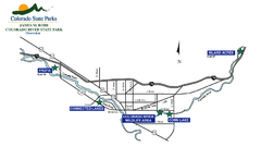
James M Robb Colorado River State Park Map
Overview map of park along lake
111 miles away
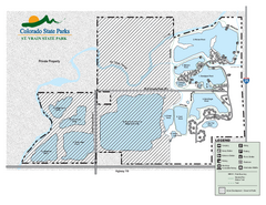
St. Vrain State Park Map
Map of park with detail of recreation zones
111 miles away
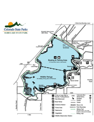
Barr Lake State Park Map
Map of park with detail of trails and recreation zones
112 miles away
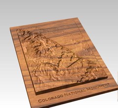
Colorado National Monument carved by CarvedMaps...
Colorado National Monument near Grand Junction, CO. was carved by CarvedMaps.com They can carve...
113 miles away
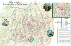
San Juan Mountains Trail Map
113 miles away
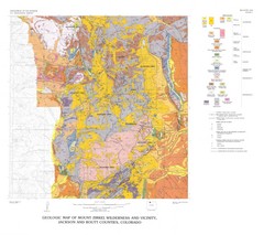
Mount Zirkel Wilderness and Vicinity Geologic Map
Geologic Map of Mount Zirkel Wilderness
114 miles away
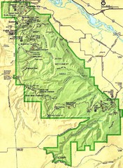
Colorado National Monument Map
114 miles away

Wolf Creek Ski Area Ski Trail Map
Trail map from Wolf Creek Ski Area, which provides downhill and nordic skiing. It has 7 lifts...
114 miles away
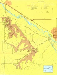
Colorado National Monument Map
Map of Colorado National Monument and surrounding areas.
114 miles away
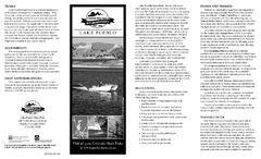
Lake Pueblo State Park Map
Map of park with detail of recreation zones
114 miles away

Wolf Creek Ski Trail Map
Official ski trail map of Wolf Creek ski area
114 miles away
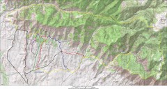
Fruita 18 Road Trail Map
Mountain biking trail map of the 18 Road area in Fruita, CO including Chutes & Ladders, Zipity...
115 miles away
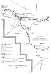
Capitol Reef Trail Map
Hiking trails near Fruita, Colorado
116 miles away
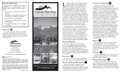
Steamboat Lake State Park Map
Map of park with detail of recreation zones
119 miles away
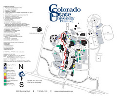
Colorado State University - Pueblo Campus Map
Campus map of Colorado State University-Pueblo
121 miles away
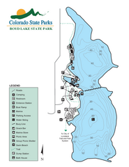
Boyd Lake State Park Map
Map of park with detail of recreation ares
122 miles away

