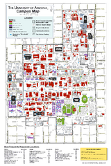
University of Arizona Campus Map
Campus map of the University of Arizona. All buildings shown.
537 miles away
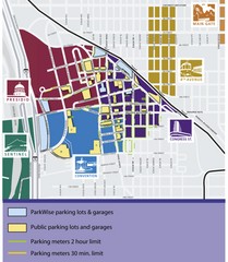
Tuscon Map
Parking garages, lots, and meters in Tuscon.
537 miles away
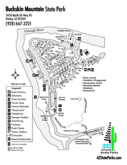
Buckskin Mountain State Park Map
Map of park with detail of trails and recreation zones
538 miles away
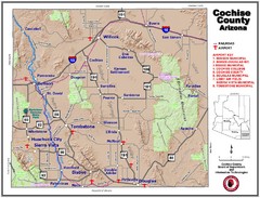
Cochise County Map
538 miles away
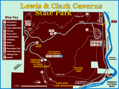
Lewis and Clark Caverns State Park Map
Montana's first and best-known state park showcases one of the most highly decorated limestone...
539 miles away
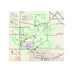
Saguaro National Park Official Park Map
Official NPS map of Saguaro National Park in Arizona. Map shows all areas. Both districts of the...
539 miles away
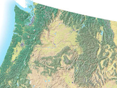
Northwest USA topo Map
540 miles away
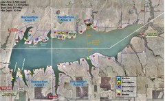
Winfield City Lake Map
Recreation map of Winfield City Lake in Winfield, Kansas. Named Timber Creek Lake. Shows camping...
540 miles away
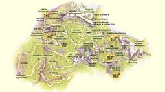
Arizona-Sonora Desert Museum Map
541 miles away
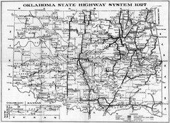
Oklahoma State Highway Map
Highway Map of Oklahoma State circa 1927. Includes all main roads and highways up to state...
541 miles away
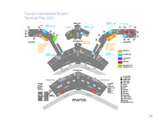
Tucson International Airport Terminal Map
Official Map of Tucson International Airport. Shows all terminals.
543 miles away
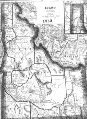
Idaho 1883 Map
544 miles away
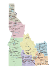
Idaho Road Map
544 miles away
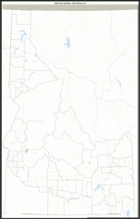
Idaho Zip Code Map
Check out this Zip code map and every other state and county zip code map zipcodeguy.com.
544 miles away
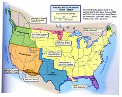
American Expansion 1818-1853 Map
Shows the four major steps through which the US gained most of it's western land between 1818...
545 miles away
2004 Migrant Deaths, Water Station and Resue...
Deaths by type identified by location on map along with land management owner.
545 miles away
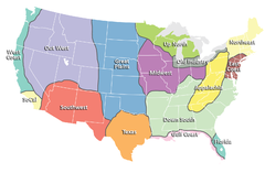
Regions of the United States Map
Appalachia- Hills, hills and more hills. Appalachian landforms contribute to landscapes of...
546 miles away
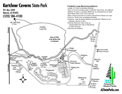
Kartchner Caverns State Park Map
Map of park with detail of trails and recreation zones
546 miles away
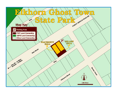
Elkhorn Ghost Town State Park Map
Clearly marked map of old 1880's ghost town with impressive structures.
549 miles away
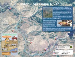
South Fork Boise River Map
Map of the South Fork of the Boise River from Anderson Ranch Dam to Neal Bridge. Premier wild...
551 miles away
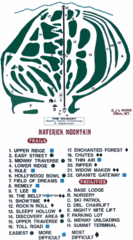
Maverick Mountain Ski Area Ski Trail Map
Trail map from Maverick Mountain Ski Area.
553 miles away
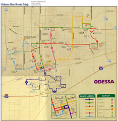
Odessa Bus Route Map
City of Odessa, Texas Bus Map with street level detail.
554 miles away
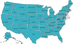
United States Map
554 miles away
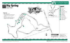
Big Spring, Texas State Park Map
554 miles away
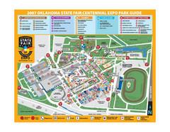
Oklahoma State Fair Park Map
Map of the Centennial Expo Park of the Oklahoma State Fair in The State Fair is spread out over...
555 miles away
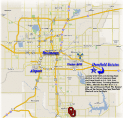
Oklahoma City, Oklahoma Tourist Map
558 miles away
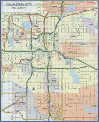
Oklahoma City, Oklahoma Tourist Map
558 miles away
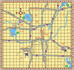
Oklahoma City, Oklahoma Tourist Map
558 miles away
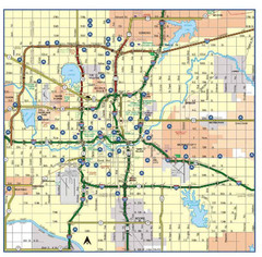
Oklahoma City, Oklahoma Tourist Map
558 miles away
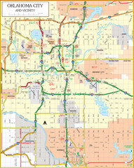
Oklahoma City, Oklahoma Tourist Map
558 miles away
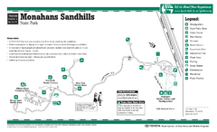
Monahans-Sandhills, Texas State Park Facility and...
558 miles away
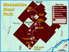
Makoshika State Park Map
To the Sioux Indians, Ma-ko-shi-ka meant bad earth or bad land. Today, as Montana’s largest...
558 miles away
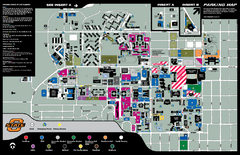
Oklahoma State University Map
559 miles away
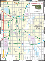
Oklahoma City, Oklahoma City Map
560 miles away
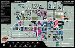
Oklahoma State University Map
Oklahoma State University Campus Map. All buildings shown.
560 miles away
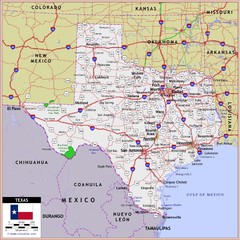
US Texas Roads Map
560 miles away
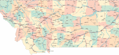
Montana Road Map
561 miles away

Light Rail Route Map
Map of Light Rail system throughout Sierra Vista
563 miles away

