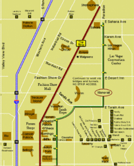
Las Vegas Strip Restaurant Map
515 miles away
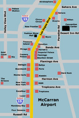
Las Vegas Hotel Map
515 miles away
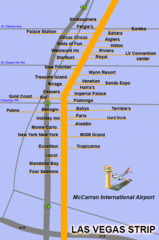
The LV Strip Map
This is a map of the Las Vegas Strip with the names of the hotels located around it.
515 miles away
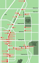
Las Vegas Strip hotel map
Map of all the hotels on The Strip in Las Vegas
515 miles away
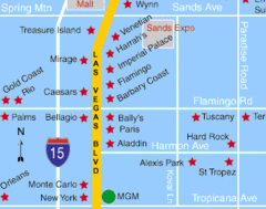
Las Vegas, South Strip Area Map
515 miles away

Snowmobiling Map, Elko County, Nevada
Map of snowmobiling opportunities in Elko County, Nevada. Snowmobiling areas, roads, and towns are...
515 miles away
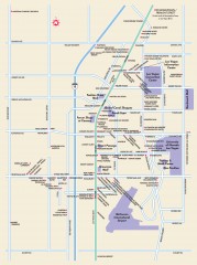
Las Vegas Strip, Las Vegas, Nevada Map
Tourist map of the Las Vegas Strip, in downtown Las Vegas, Nevada. Shows casinos, hotels, and other...
515 miles away
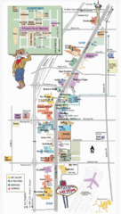
Vegas Strip and Downtown Map
Tourist map of Vegas strip and downtown
516 miles away
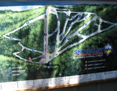
Mt. Lemmon Ski Valley Ski Trail Map
Trail map from Mt. Lemmon Ski Valley, which provides downhill skiing. It has 3 lifts servicing 21...
518 miles away
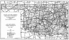
Oklahama Highway Map
Highway Map of Oklahoma State circa 1935. Includes all roads, towns, and detailed information on...
518 miles away
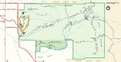
Saguaro Park Map
Navigable Driving Map for Saguaro Park. Includes all roads, trails, camping areas, and...
520 miles away
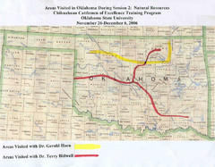
Oklahoma County Map
525 miles away
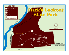
Clark's Lookatout State Park Map
Clearly marked State Park Map.
525 miles away
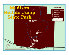
Madison Buffalo Jump State Park Map
You’ll find this day-use-only park seven graveled miles off Interstate 90 at the Logan exit...
525 miles away
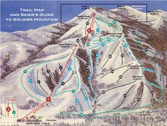
Soldier Mountain Ski Trail Map
Trail map from Soldier Mountain, which provides downhill and terrain park skiing. It has 3 lifts...
526 miles away
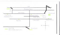
Glenns Ferry City Map
City map of Glenns Ferry, Idaho with information
527 miles away
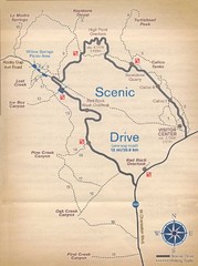
Red Rock Canyon Trail Map
Hiking trail map
529 miles away
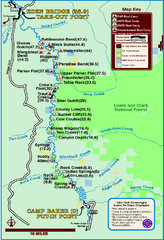
Smith River State Park Map
The Smith River is a unique 59-mile river corridor. Permits are required to float the stretch of...
529 miles away
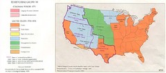
Territorial Expansion in Eastern United States...
530 miles away
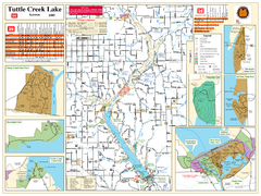
Tuttle Creek Lake Map
Army Corps of Engineers Map of Tuttle Creek Lake and adjoining State Parks.
530 miles away
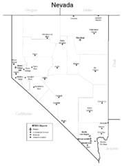
Nevada Airports Map
530 miles away
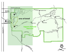
Saguaro National Park Map - Rincon District
Park map of Saguaro National Park East, the Rincon District
531 miles away
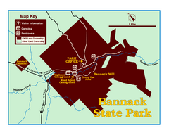
Bannack State Park Map
533 miles away
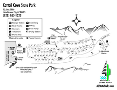
Cattail Cove State Park Map
Map of park with detail of trails and recreation zones
534 miles away
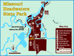
Missouri Headwaters State Park Map
This park encompasses the confluence of the Jefferson, Madison and Gallatin Rivers. The Lewis and...
534 miles away
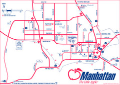
Manhattan (Kansas) City Map
City Map of Manhattan, Kansas including Kansas State University
535 miles away

Las Vegas Ski & Snowboard Resort Ski Trail Map
Trail map from Las Vegas Ski & Snowboard Resort, which provides downhill skiing.
535 miles away
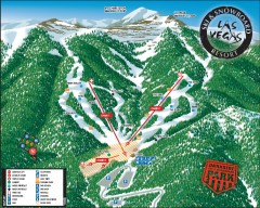
Las Vegas Ski & Snowboard Resort Ski Trail Map
Official ski trail map of Las Vegas Ski & Snowboard Resort (LVSSR) from the 2007-2008 season.
535 miles away
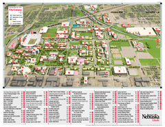
University of Nebraska - Lincoln Map
Campus Map of the University of Nebraska - Lincoln Campus. All areas shown.
535 miles away
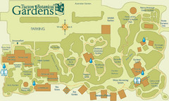
Tucson Botanical Gardens Map
Very nice botanical garden with great native plant sales.
536 miles away
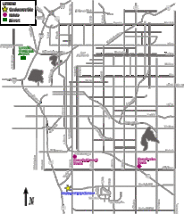
Lincoln, Nebraska City Map
536 miles away
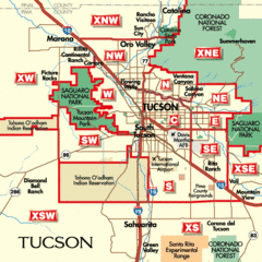
Tucson, Arizona City Map
536 miles away
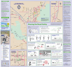
Tuscon Metro Bike Map (Back)
536 miles away
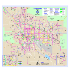
Tucson Metro Bike Map
Bike route map of the city of Tucson, Arizona.
536 miles away
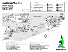
Lake Havasu State Park Map
Map of park with detail of trails and recreation zones
536 miles away
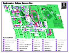
Southwestern College Campus Map
Southwestern College Campus Map. Shows all buildings.
536 miles away
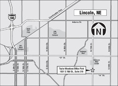
Lincoln, Nebraska Map
537 miles away
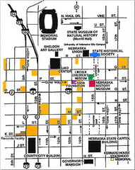
Downtown Lincoln, Nebraska Map
Red is the Nebraska History Museum. School bus parking is on the west side of 15th Street in front...
537 miles away
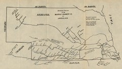
Skimming Stations of the Beatrice Creamery...
"Skimming Stations of the Beatrice Creamery Co. of Lincoln, Neb." From Report of the...
537 miles away
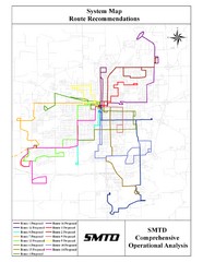
Lincoln Bus Map
537 miles away

