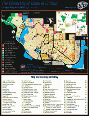
The University of Texas at El Paso Map
The University of Texas at El Paso. All buildings shown.
508 miles away
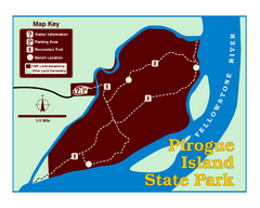
Pirogue Island State Park Map
Visitors find this isolated and undeveloped cottonwood-covered Yellowstone River island an...
509 miles away
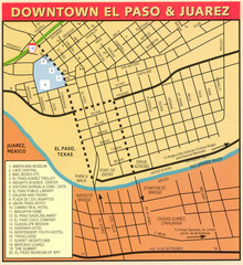
Downtown El Paso Map
Downtown tourist street map of El Paso and nearby Juarez
509 miles away
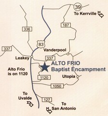
Alto Frio, Texas Tourist Map
509 miles away
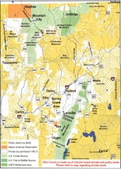
Land Use Map of Elko County, Nevada
Land use map of Elko County, Nevada. Shows lands classified as public or private, and owners of...
509 miles away
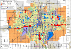
Wichita Functional Land Use Guide Map
Development map for future land use by 2030
509 miles away
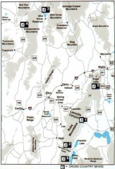
Cross-country Skiing, Elko County, Nevada Map
Map of cross-country skiing opportunities in Elko County, Nevada. Shows skiing locations, roads...
510 miles away
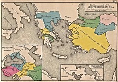
Historical Map of Mediterranean Sea B.C. 1884
"The Eastern half of the Mediterranean Sea during the two centuries preceeding the birth of...
511 miles away
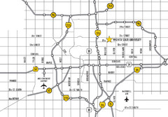
Wichita, Kansas City Map
511 miles away
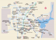
Las Vegas Surrounding Areas, Nevada Map
Tourist map of the areas surrounding Las Vegas, Nevada. Shows hotels and inns outside of downtown...
511 miles away
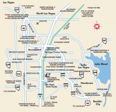
Point of Interest in Las Vegas, Nevada Map
Tourist map of Las Vegas, Nevada. Shows museums, government buildings, and other attractions.
511 miles away
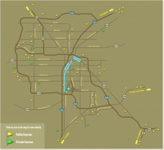
Golf Courses near Las Vegas, Nevada Map
Map of golf courses in and around Las Vegas, Nevada. Shows public and private courses, as well as...
511 miles away
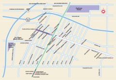
Downtown Las Vegas, Nevada Map
Tourist map of downtown Las Vegas, Nevada. Casinos, hotels, and shopping opportunities are shown...
512 miles away
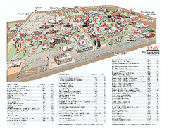
University of Nevada - Las Vegas Campus Map
Campus map of UNLV (University of Nevada - Las Vegas) All areas shown.
512 miles away
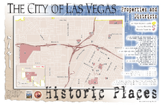
Las Vegas Historical Landmarks Map
512 miles away
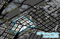
Las Vegas Arts District Map
512 miles away

Community College of Southern Nevada Map
Campus Area map of the Community College of Southern Nevada. The college is located on three main...
513 miles away
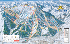
Sun Valley Ski Trail Map 2008
Ski trail map of Sun Valley ski area
514 miles away
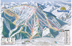
Sun Valley Ski Area Trail Map
Official ski trail map of Bald Mountain, the main mountain of Sun Valley ski area in Sun Valley...
514 miles away
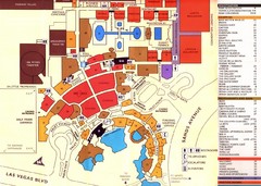
Las Vegas Tourist Map
514 miles away

Bridger Bowl Ski Area Ski Trail Map
Trail map from Bridger Bowl Ski Area.
514 miles away
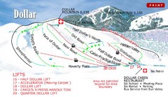
Sun Valley—Bald Mountain Ski Trail Map
Trail map from Sun Valley—Bald Mountain, which provides downhill, nordic, and terrain park skiing...
514 miles away

Las Vegas shopping map for Lucky
514 miles away
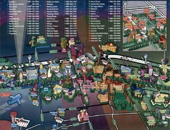
Las Vegas Strip Map
514 miles away
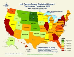
United States Travel Time to Work Statistical Map
514 miles away
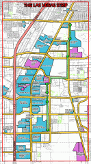
Las Vegas Strip map
Las Vegas map of the famous strip. All major casinos shown, including Bellagio, MGM Grand, Caesars...
514 miles away

Las Vegas Strip Map
514 miles away

Harrahs Las Vegas Hotel Map
515 miles away
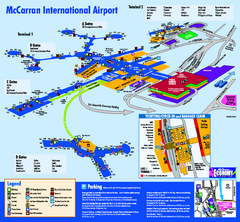
Las Vegas McCarran Airport Terminal Map
Official Terminal Map of Las Vegas McCarran Airport. Shows all areas.
515 miles away

Las Vegas Tourist Map
Birds-eye view of the Las Vegas Strip. Scanned.
515 miles away

Las Vegas Map
515 miles away

Station Casinos Las Vegas Map
515 miles away

Las Vegas Median House Price Change Percentages...
515 miles away

Las Vegas Area Map
515 miles away

Las Vegas Zip Codes Map
515 miles away

Las Vegas Zip Codes Map
515 miles away
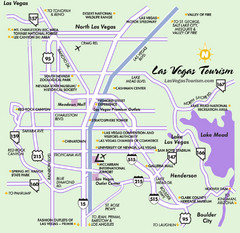
Las Vegas, NV Tourist Map
515 miles away
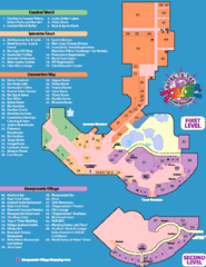
Rio Hotel - Las Vegas, NV Tourist Map
515 miles away
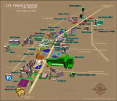
Las Vegas, NV Tourist Map
515 miles away
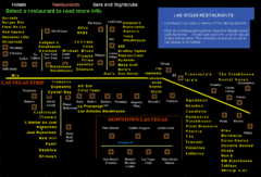
Las Vegas Strip Restaurant Map
515 miles away

