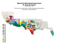
US African Honey Bee Map
Map of the US spread of Africanized honey bees by year, by county, from 1990 to 2007.
454 miles away
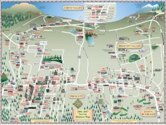
Prescott tourist map
Tourist and business map of Prescott, Arizona. Shows all businesses in the tri-city area.
455 miles away
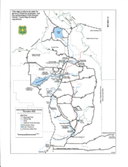
Ashton/Island Park Recreation Sites Map
455 miles away
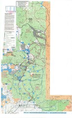
Island Park Idaho Area Snowmobile Map
455 miles away
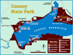
Cooney State Park Map
Simple and clear State Park Map.
459 miles away
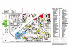
Texas Tech University Parking/ Visitor Map
Map showing all buildings, and detailed parking information at Texas Tech University.
462 miles away
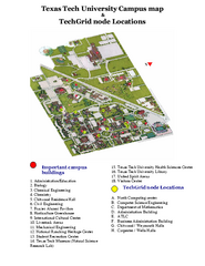
Texas Tech University Map
Campus Map of Texas Tech University. All buildings shown.
463 miles away
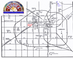
Lubbock City Map
City map of Lubbock, Texas
464 miles away
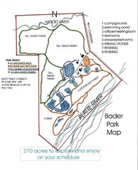
Bader Park Map
465 miles away
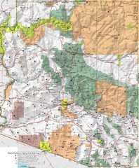
Arizona Prominance Map
Prominant peaks are marked by flags in 4 categories according to elevation.
467 miles away
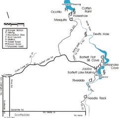
Scottsdale Map
Map of Scottsdale's reservoirs and recreational areas.
468 miles away
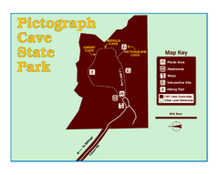
Pictograph Cave State Park Map
The 2,730-square-foot building, on the northwestern side of the existing parking lot, is designed...
468 miles away
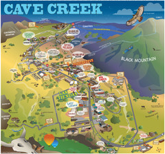
Cave Creek, Arizona Map
469 miles away

Disc Golf Courses Map
Disc Golf Courses in and near the contiguous United States as of 1/1/2011, according to Disc Golf...
471 miles away
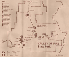
Valley of Fire State Park Map
Scanned from park brochure
471 miles away

Metropolis Nevada Ghost Town Map
472 miles away
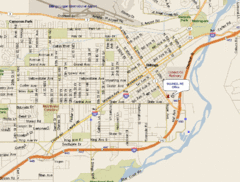
Billings, Montana City Map
472 miles away
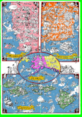
A MAD Pictorial Map of the United States - Back...
I found these raw assembled scans in a dieing torrent in 2010. Hash code...
475 miles away
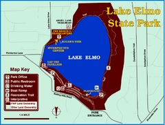
Lake Elmo State Park Map
This urban day-use park attracts visitors to swim, sailboard, and fish. A display in the Fish...
476 miles away
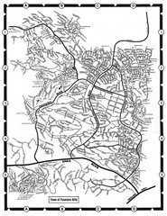
Fountain Hills, Arizona Map
477 miles away
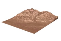
Emigrant Montana towards Baldy and Emigrant Peak...
Emigrant, MT towards Baldy and Emigrant Peak
477 miles away
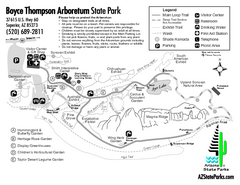
Boyce Thompson Arboretum State Park Map
Nice arboretum with lots of desert plants.
478 miles away
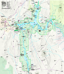
Lake Mead National Recreation Area Map
479 miles away
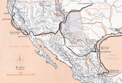
Mexican War Historical Map
479 miles away
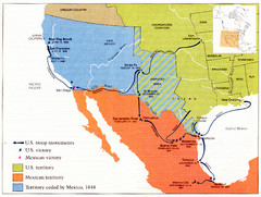
Mexican War Historical Map
479 miles away
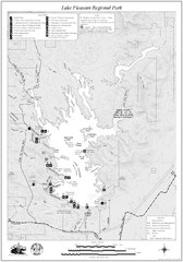
Lake Pleasant Regional Park Map
481 miles away

Map of North and South Dakota 1906
481 miles away

Sourth Dakota Wind Resource Map
481 miles away

South Dakota Counties Map
481 miles away
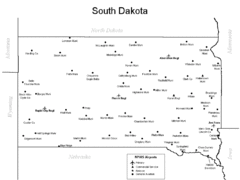
South Dakota Airports Map
481 miles away
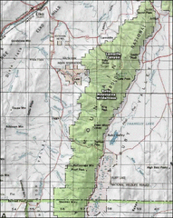
Ruby Mountains Wilderness Map
Overview map of Ruby Mountains Wilderness and Lamoille Canyon
482 miles away
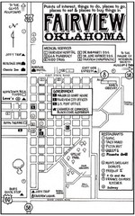
Fairview City Map
City map of Fairview with restaurants, government offices, medical services and hotels
484 miles away
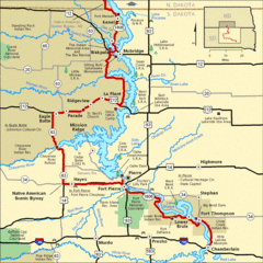
Native American Scenic Byway, South Dakota...
485 miles away
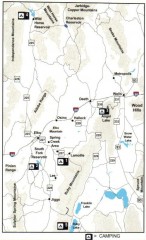
Camping in Elko County, Nevada Map
Map of camping opportunities in Elko County, Nevada, showing camp grounds, roads and towns.
485 miles away
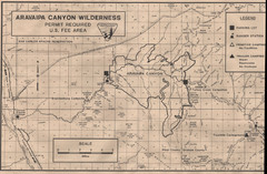
Aravaipa Canyon Map
Map of Aravaipa Canyon Wilderness
486 miles away

18th Century United States Map
486 miles away

South Dakota Map
487 miles away
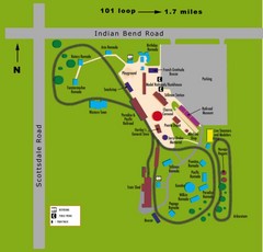
McCormick Railroad Park Map
487 miles away
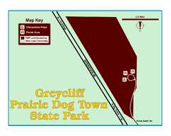
Greycliff Prairie Dog Town State Park Map
Grab your camera and hop off Interstate 90 at Greycliff to delight in the playful, curious black...
488 miles away
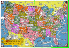
A MAD Pictorial Map of the United States - Front...
I found these raw assembled scans in a dieing torrent in 2010. Hash code...
488 miles away

