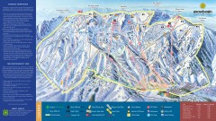
Snowbasin Ski Trail Map
Official ski trail map of ski area from the 2007-2008 season.
315 miles away

Snowbasin Nordic Trail Map
Nordic trail map of Snowbasin resort, Utah
315 miles away
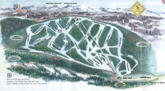
White Pine Ski Area Ski Trail Map
Trail map from White Pine Ski Area.
315 miles away
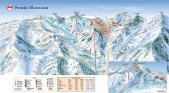
Powder Mountain Ski Trail Map
Official ski trail map of Powder Mountain ski area from the 2007-2008 season.
317 miles away

Wolf Mountain Ski Trail Map
Trail map from Wolf Mountain.
318 miles away
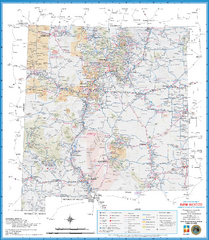
New Mexico Road Map
Detailed road map of state of New Mexico
318 miles away
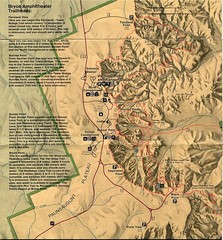
Brycec Canyon National Park Map
320 miles away

Utah mountain resorts Map
320 miles away

Bryce Canyon Official Park Map
Official NPS map of Bryce Canyon National Park in Utah. Map shows all areas. The park is open 24...
321 miles away
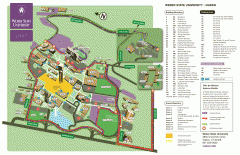
Weber State University Map
Weber State University Campus Map. All buildings shown.
321 miles away
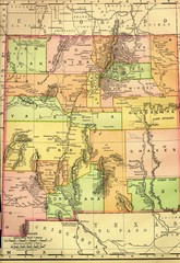
New Mexico 1895 Map
321 miles away
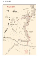
Buckskin Gulch Trail Map
Guide to Buckskin Gulch, the longest slot canyon in the US
321 miles away
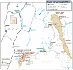
Bryce Canyon National Park Map
Roads, highways, rivers and points of interest are clearly marked on this simple map.
322 miles away
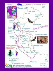
Bryce Canyon National Park Trails Map
322 miles away

Bryce Canyon National Park Map
322 miles away
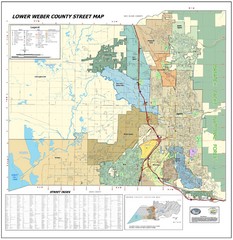
Lower Weber County Street Map
Street map for area around Ogden, UT
322 miles away
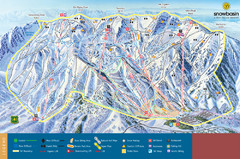
Snowbasin Mountain Trail Map
Ski trail map of Snowbasin Mountain
324 miles away
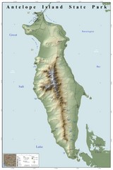
Antelope Island State Park Map
Shaded relief map of Antelope Island State Park, Utah. Shows facilities, peaks, and springs...
324 miles away
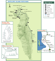
Antelope Island State Park Map
Trail map of Antelope Island State Park in the Great Salt Lake, Utah. Shows campgrounds.
325 miles away
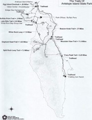
Antelope Island State Park Map
Antelope Island State Park, the largest island in the Great Salt Lake, is home to a roaming herd of...
326 miles away
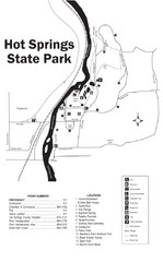
Hot Springs State Park Map
Enjoy our soothing waters, views of the unforgettable bison and some of the loveliest flower...
326 miles away
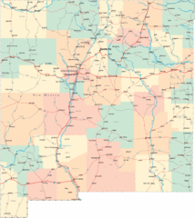
New Mexico Road Map
Detailed road map of New Mexico state
327 miles away
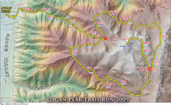
Logan Peak Trail Run Map 2009
Trail run map of the Logan Peak Trail Run 2009 course.
328 miles away

Beaver Mountain Ski Area Ski Trail Map
Trail map from Beaver Mountain Ski Area.
328 miles away
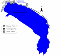
Hyrum State Park Map
Tucked away in Cache County, Hyrum State Park offers many recreation opportunities including...
329 miles away
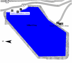
Willard Bay State Park Map
Boat, swim, waterski, and fish on the warm waters of Willard Bay. Camp under tall cottonwood trees...
329 miles away
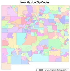
New Mexico Zip Codes Map
329 miles away
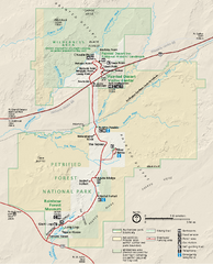
Petrified Forest National Park Official Park Map
Official NPS map of Petrified Forest National Park in Arizona. Open year round except Christmas...
330 miles away
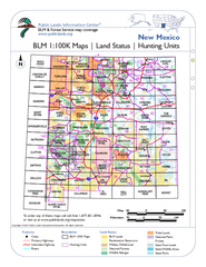
Index of BLM Maps for NM Hunting Units Map
This handy index shows the BLM surface management (land ownership) maps you need for all the...
330 miles away
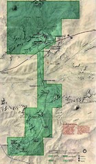
Petrified Forest National Park Map
Petrified Forest National Park Map with trails, vistiors centers and park area marked.
331 miles away
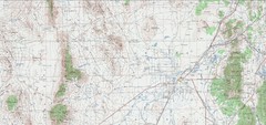
Delta Quad Sheet Detail 1972 Map
331 miles away
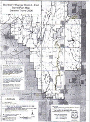
Montpelier Ranger District East Map
Map for Summer Encampment trip to Montpelier, Wyoming for Idaho Company, American Long Rifle...
333 miles away
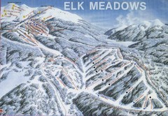
Elk Meadows Resort Ski Trail Map
Trail map from Elk Meadows Resort.
333 miles away
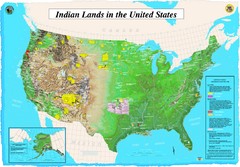
Indian Lands Map
Map of Indian Lands throughout the US
334 miles away
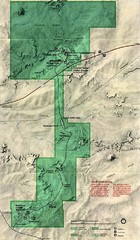
Petrified Forest Map
Map of the Petrified Forest, Painted Desert and Rainbow Forest. Shows all roads, tourist...
335 miles away
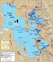
Great Salt Lake Map
336 miles away
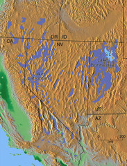
Pleisocene Lakes of western U.S. Map
340 miles away
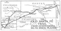
The Old Santa Fe Trail Map
340 miles away
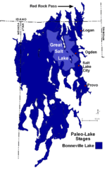
Lake Bonneville Levels Map
340 miles away


