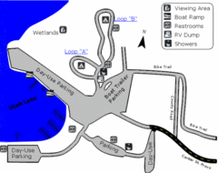
Utah Lake State Park Map
Utah's largest freshwater lake provides fishing access for channel catfish, walleye, white...
286 miles away
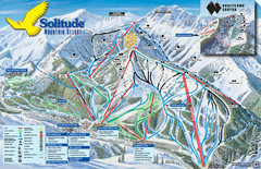
Solitude Mountain Ski Map
Clearly marked trails on this easy to read map and legend.
286 miles away
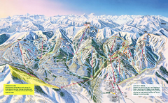
The Canyons Ski Trail Map
Trail map from The Canyons.
286 miles away

Solitude Mountain Resort Ski Trail Map
Trail map from Solitude Mountain Resort.
287 miles away
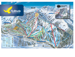
Solitude Ski Trail Map
Official ski trail map of Solitude Mountain Resort ski area from the 2007-2008 season.
287 miles away
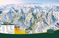
The Canyons Ski Trail Map
Official ski trail map of The Canyons ski area from the 2007-2008 season.
287 miles away
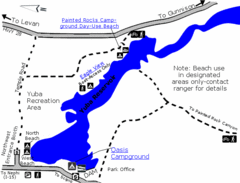
Yuba State Park Map
The sprawling waters of Yuba State Park provide a variety of recreation opportunities for visitors...
287 miles away
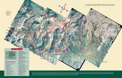
Snowbird/Alta area Summer Mountain Biking/Hiking...
Map showing all hiking and mountain biking trails in the Alta/Snowbird area.
288 miles away
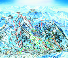
Snowbird Ski Trail map
Official ski trail map of Snowbird ski area from the 2006-2007 season.
289 miles away
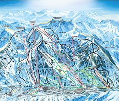
Snowbird Ski and Summer Resort Ski Trail Map
Trail map from Snowbird Ski and Summer Resort.
289 miles away
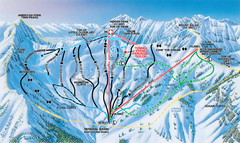
Snowbird Ski and Summer Resort Mineral Basin Ski...
Trail map from Snowbird Ski and Summer Resort.
289 miles away
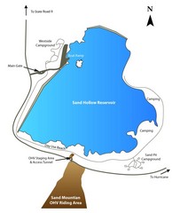
Sand Hollow State Park Map
With its warm, blue waters and red sandstone landscape, Utah's newest state park is also one...
290 miles away
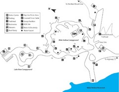
Escalante Petrified Forest State Park Map
Escalante Petrified Forest State Park is located in beautiful southern Utah, just 44 miles east of...
290 miles away

Alta Ski Trail Map
290 miles away
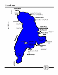
Utah Lake Map
291 miles away
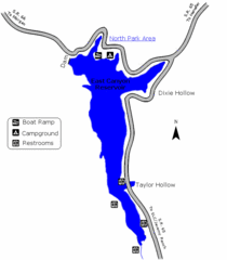
East Canyon State Park Map
East Canyon State Park is a 680-acre boating and year-round fishing delight nestled in the...
294 miles away
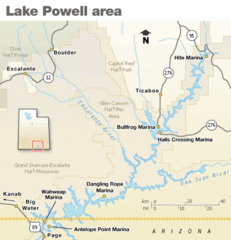
Lake Powell Area Map
Clear map marking the surrounding area of this pristine lake.
294 miles away

Wasatch Front Watershed Map
297 miles away

Snowbird Trail Map
Ski trail map
297 miles away
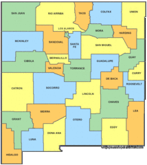
New Mexico Counties Map
298 miles away
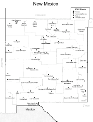
New Mexico Airports Map
298 miles away

Lake Powell Oblique Map
298 miles away
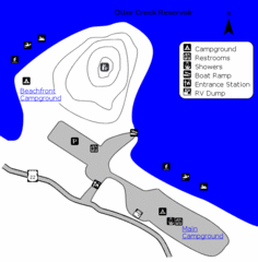
Otter Creek Reservoir Map
This quiet getaway is a great destination for ATV riders, boaters, and birders. Access three ATV...
300 miles away

Boysen State Park Map
301 miles away
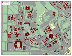
University of Utah Map
303 miles away
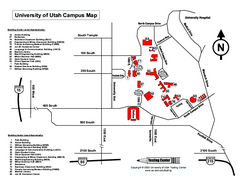
University of Utah Map
University of Utah Campus Map. All buildings shown.
303 miles away
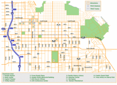
Downtown Salt Lake City Map
Street map of downtown Salt Lake City
304 miles away

Jordan River Parkway Map
304 miles away
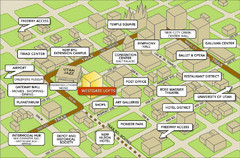
Salt Lake City Tourist Map
Tourist map of Salt Lake City, Utah. Shows points of interest.
305 miles away
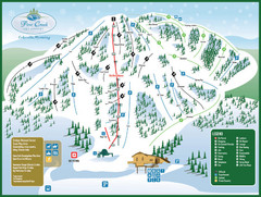
Pine Creek Ski Area Ski Trail Map
Trail map from Pine Creek Ski Area.
305 miles away
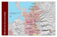
Salt Lake City and Surrounding Area Map
Cities and streets identified along with mountain range elevation.
305 miles away
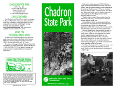
Chadron State Park Map
The majestic beauty of the Pine Ridge forms the backdrop for this great, get away from it all state...
306 miles away
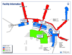
Salt Lake City International Airport Terminal Map
Official Terminal Map of Salt Lake City International Airport. Shows all terminals and facilities.
309 miles away
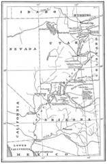
1914 Grand Canyon & Colorado River Map
Historic map of the Colorado River, from Wyoming to Mexico
310 miles away

Hopi Reservation Map
Hopi Reservation locations in Arizona
312 miles away
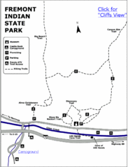
Fremont Indian State Park Map
Discover artifacts, petroglyphs, and pictographs left behind by the Fremont Indians. During...
313 miles away
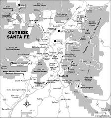
Surrounding Santa Fe, New Mexico Area Map
313 miles away
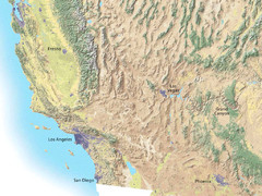
Southwest USA topo Map
314 miles away
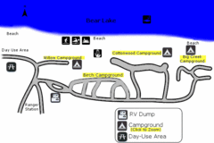
Rendezvous Beach Map
Bear Lake State Park is nestled high in the Rocky Mountains on the Utah-Idaho border. The cool...
315 miles away
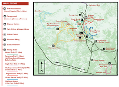
Kodachrome Basin State Park Map
Trail map of Kodachrome Basin State Park, Utah. Shows hiking trails and park facilities.
315 miles away

