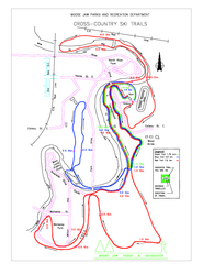
Moose Jaw Cross Country Ski Trail Map
Cross country ski trails around city of Moose Jaw, Saskatchewan, Canada. Shows green, red, and...
399 miles away
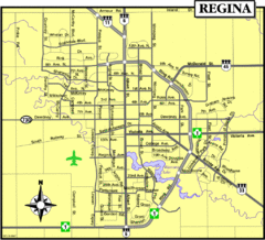
Regina Map
Street map of downtown Regina
399 miles away
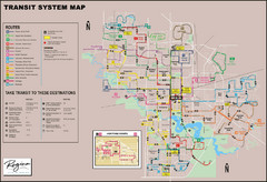
Regina Transit Map
Bus route map of the city of Regina, Saskatchewan, Canada.
399 miles away

North America Climate Zones Map
400 miles away
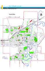
Swift Current Tourist Map
Tourist map of Swift Current, Saskatchewan. Shows all parks and walking paths.
409 miles away
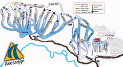
Asessippi Winter Park Ski Trail Map
Trail map from Asessippi Winter Park, which provides downhill skiing. This ski area has its own...
413 miles away

Edmonton, Alberta Tourist Map
Edmonton, Alberta and the area west of it
414 miles away
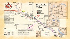
Drumheller Valley Tourist Map
Tourist map shows trails and points of interest of area around Drumheller, Alberta.
414 miles away
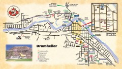
Drumheller Tourist Map
Tourist map of Drumheller, Alberta. Shows accommodations, campgrounds, restaurants, attractions...
414 miles away
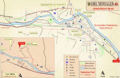
Drumheller Pedestrian Trail Map
414 miles away
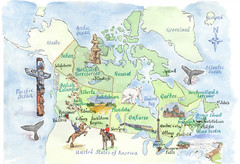
Canadian Tourist Illustrated Map
419 miles away
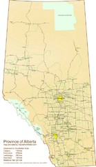
Alberta Tourist Map
Cities and areas in Alberta, Canada
433 miles away
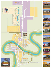
Manning Town Map
433 miles away
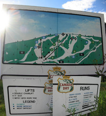
Silver Summit Ski Trail Map
Trail map from Silver Summit, which provides downhill and nordic skiing. This ski area has its own...
433 miles away
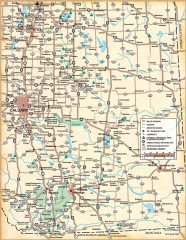
Southern Alberta Map
Shows highways, cities and towns, national/provincial parks and recreation areas, UNESCO World...
443 miles away
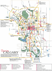
Calgary Map
472 miles away
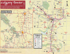
Calgary Tourist Map
Tourist map of Calgary, Canada. Shows points of interest. Scanned.
472 miles away
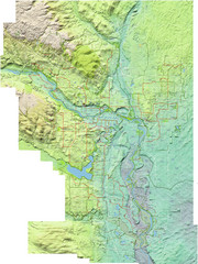
Calgary Topo Bike Map
This map shows the city of Calgary's bike routes. The topographic representation of the...
473 miles away
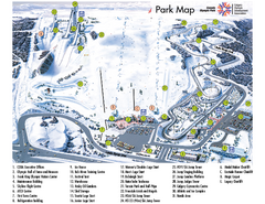
Canada Olympic Park Ski Trail Map
Trail map from Canada Olympic Park, which provides downhill skiing. This ski area has its own...
475 miles away
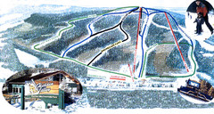
Hidden Valley Ski Trail Map
Trail map from Hidden Valley, which provides downhill skiing. This ski area has its own website.
476 miles away
Minnedosa Ski Valley Ski Trail Map
Trail map from Minnedosa Ski Valley, which provides downhill skiing. This ski area has its own...
483 miles away
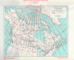
Canada Guide Map
489 miles away
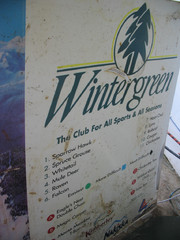
2001 Wintergreen Downhill Map Part 2
Trail map from Wintergreen.
490 miles away
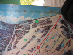
2001 Wintergreen Downhill Map Part 1
Trail map from Wintergreen.
490 miles away
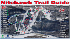
Nitehawk Ski Hill Ski Trail Map
Trail map from Nitehawk Ski Hill, which provides downhill skiing. This ski area has its own website.
494 miles away
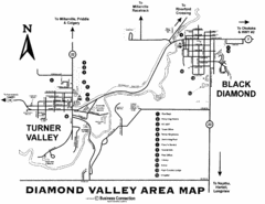
Diamond Valley Area Map
Map of Diamond Valley are, with Turner Valley & Black Diamond oil towns
498 miles away
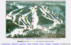
Whispering Pines Ski Trail Map
Trail map from Whispering Pines, which provides downhill and nordic skiing. This ski area has its...
500 miles away
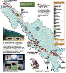
Banff National Park Map
508 miles away
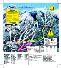
Nakiska Ski Resort Ski Trail Map
Trail map from Nakiska Ski Resort, which provides downhill skiing. This ski area has its own...
509 miles away
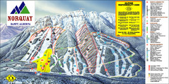
Banff Mount Norquay Ski Trail Map
Trail map from Banff Mount Norquay, which provides downhill skiing. This ski area has its own...
509 miles away
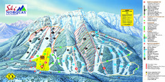
Norquay Map
Ski trail map
509 miles away
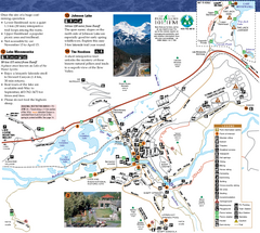
Banff National Park Map
Map of park with detail of trails and recreation zones
512 miles away
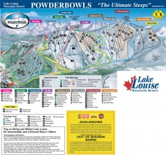
Lake Louise Ski Trail map - Ptarmigan/Paradise...
Official ski trail map of the Ptarmigan/Paradise/Back Bowls of Lake Louise ski area from the 2005...
512 miles away
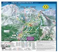
Lake Louise Ski Trail map - Front side/south face...
Official ski trail map of the front side/south face of Lake Louise ski area from the 2005-2006...
513 miles away
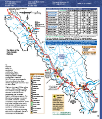
Banff National Park map
Official Parks Canada map of Banff National Park. Birthplace of Canada's national park system...
515 miles away
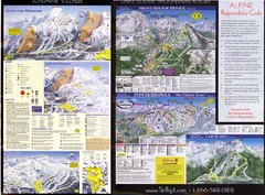
2007–08 2007–08 Ski Big 3 Side 2 (Lake Louise...
Trail map from Lake Louise, which provides downhill skiing. This ski area has its own website.
515 miles away

