Kamloops tourist info map by Jean-Louis Rheault
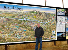
Tourist map of Kamloops, British Columbia. Photo of 20 foot sign with the cartographer, Jean-Louis...
95 miles away
Banff National Park map
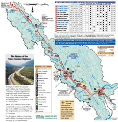
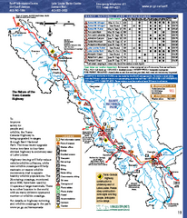
Official Parks Canada map of Banff National Park. Birthplace of Canada's national park system...
96 miles away
Radium Hot Springs Fishing Map
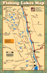
Beautiful map of the many fishing spots at this amazing site.
96 miles away
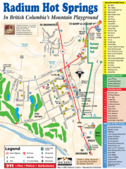
Radium Hot Springs Map
An easy to read map of this amazing hot springs area.
96 miles away
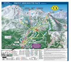
Lake Louise Ski Trail map - Front side/south face...
Official ski trail map of the front side/south face of Lake Louise ski area from the 2005-2006...
96 miles away
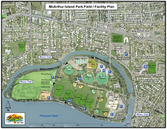
MacArthur Island Park Map
Park map of MacArthur Island Park in the Thompson River in Kamloops, BC. Shows Rivers Trail...
97 miles away
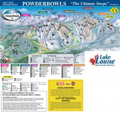
Lake Louise Ski Trail map - Ptarmigan/Paradise...
Official ski trail map of the Ptarmigan/Paradise/Back Bowls of Lake Louise ski area from the 2005...
97 miles away
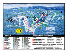
Crystal Mountain Resort Ski Trail Map
Trail map from Crystal Mountain Resort, which provides downhill skiing. This ski area has its own...
100 miles away
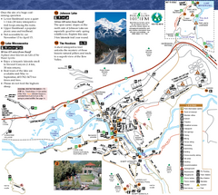
Banff National Park Map
Map of park with detail of trails and recreation zones
100 miles away
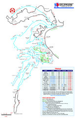
Telemark Cross Country Ski Trail Map
Trail map from Telemark Cross Country, which provides nordic skiing. This ski area has its own...
101 miles away
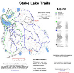
Stake Lake Nordic Ski Trail Map
Trail map from Stake Lake.
104 miles away
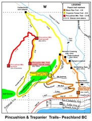
Peachland Walks Map
Guide to Pincushion and Trepanier Trails in Peachland, BC
105 miles away
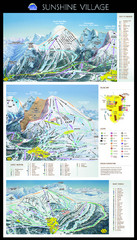
Sunshine Trail Map
Trail map of Sunshine Village
106 miles away
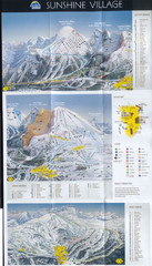
Banff’s Sunshine Village Ski Trail Map
Trail map from Banff’s Sunshine Village.
106 miles away
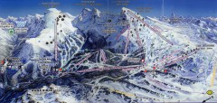
Sunshine Village Ski Trail Map
Official ski trail map of Sunshine Village ski area.
106 miles away
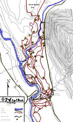
Nipika Ski Trail Map
Trail map from Nipika, which provides nordic skiing. This ski area has its own website.
108 miles away
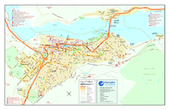
Nelson BC Town Map
109 miles away
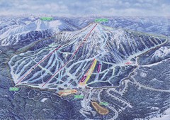
Apex Mountain Ski Resort Map
Apex Mountain Trail Map, Lifts and Elevations
112 miles away
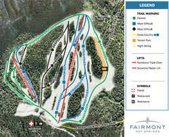
Fairmont Hot Springs Resort Ski Trail Map
Trail map from Fairmont Hot Springs Resort.
113 miles away
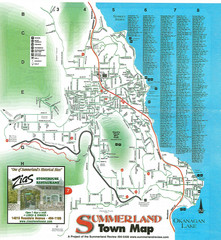
Summerland Town Map
Map of Summerland with details on outdoor-recreation locations and streets
114 miles away
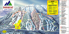
Banff Mount Norquay Ski Trail Map
Trail map from Banff Mount Norquay, which provides downhill skiing. This ski area has its own...
114 miles away
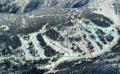
Whitewater Ski Resort Silver King Ski Trail Map
Trail map from Whitewater Ski Resort.
115 miles away
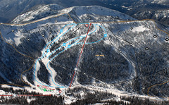
Whitewater Ski Resort Summit Ski Trail Map
Trail map from Whitewater Ski Resort.
115 miles away
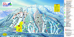
Norquay Map
Ski trail map
115 miles away
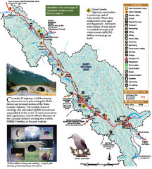
Banff National Park Map
115 miles away
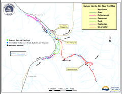
Nelson Nordic Ski Trail Map
Trail map from Nelson Nordic, which provides night and nordic skiing. This ski area has its own...
116 miles away
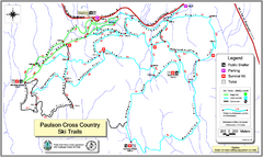
Paulson X-C (Castlegar Nordic) Ski Trail Map
Trail map from Paulson X-C (Castlegar Nordic), which provides nordic skiing. This ski area has its...
119 miles away
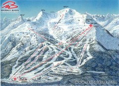
Jasper’s Marmot Basin Future Lift for Ski Trail...
Trail map from Jasper’s Marmot Basin, which provides downhill skiing. This ski area has its own...
127 miles away
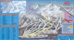
Jasper’s Marmot Basin Ski Trail Map
Trail map from Jasper’s Marmot Basin, which provides downhill skiing. This ski area has its own...
127 miles away

2006–08 Black Jack Nordic Map
Trail map from Black Jack.
129 miles away
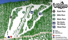
Salmo Ski Area Ski Trail Map
Trail map from Salmo Ski Area, which provides downhill skiing. This ski area has its own website.
129 miles away

Phoenix Mountain Ski Trail Map
Trail map from Phoenix Mountain.
129 miles away

Red Mountain Ski Trail Map
Trail map from Red Mountain.
130 miles away
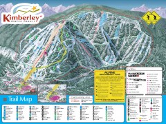
Kimberley Ski Trail Map
Official ski trail map of Kimberley ski area from the 2007-2008 season.
130 miles away

Panorama Ski Area Trail Map
Guide to the Panorama Mountain Resort, outside Calgary, Canada
131 miles away
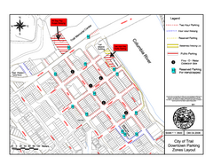
City of Trail Downtown Parking Map
Parking map of downtown Trail, British Columbia
131 miles away
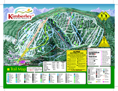
Kimberley Alpine Resort Ski Trail Map
Trail map from Kimberley Alpine Resort.
131 miles away

City of Trail BC Map
Map of city of Trail, BC on the Columbia River
131 miles away

Red Mountain Trail Map
Ski trail map
131 miles away

