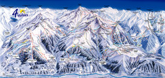
Verbier—Les quatre vallées (Nendaz...
Trail map from Verbier—Les quatre vallées (Nendaz, Veysonnaz), which provides downhill...
107 miles away
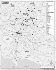
Lausanne Tourist Map
Tourist map of central Lausanne, Switzerland on the shore of Lake Geneva. Shows accommodation...
107 miles away
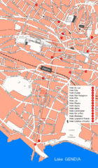
Lausanne Hotel Map
107 miles away
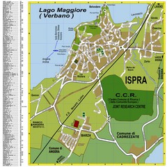
Ispra Town Map
Town map of Ispra, Italy on east side of Lake Maggiore (Lombardy region, Northern Italy). With...
108 miles away
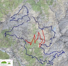
Verbier 60k Course Profile Map
Course Map and Elevation Profile for the Verbier Ultra Run 60k and 20k routes.
108 miles away
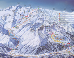
Kaunertal Ski Trail Map
Trail map from Kaunertal.
108 miles away
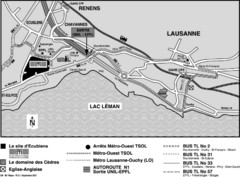
EPFL Lausanne Switzerland Map
Map of the EPFL University and bus routes from Lausanne to get there.
108 miles away
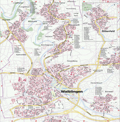
Waiblingen Map
City map of Waiblingen and surrounding region
108 miles away
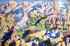
Bormio Panorama Map
Panorama tourist map of Bormio, Italy. Shows Ortler Alps in distance. From photo.
109 miles away

Sulden Trafoi Summer Hiking Map
Summer hiking route map of Sulden (Solda) Italy, Trafoi, Italy and Stelvio, Italy. Shows hiking...
109 miles away
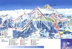
Thollon-les-Memises Ski Trail Map
Trail map from Thollon-les-Memises.
110 miles away
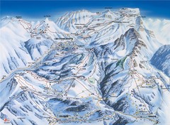
Villars-Gryon Ski Trail Map
Trail map from Villars-Gryon.
110 miles away
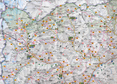
Northern Italy Map
Map of very north of Italy. Shows all towns, roads, recreational activities and gas stations.
111 miles away
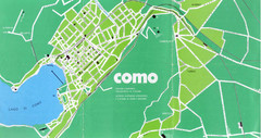
Como City Map
City map and historical sites of Como, Italy.
111 miles away

Western Strasbourg Tourist Map
112 miles away

Sulden Ski Trail Map
Ski trail map of Sulden (Solda), Italy in the Ortler Alps. Shows trails and lifts.
113 miles away
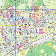
Karlsruhe Tourist Map
Tourist map of Karlsruhe
113 miles away
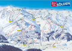
Otztal Ski Trail Map
Trail map from Otztal.
113 miles away
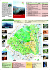
Monte Barro Map
114 miles away
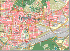
Karlsruhe Map
City street map of Karlsruhe
114 miles away
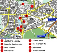
Karlsruhe Hotel Map
114 miles away

Haute Route Ski Tour Map - Verbier Variant
Ski tour topo route map of the European Alps' most famous alpine ski tour connecting two...
114 miles away
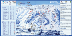
Aprica Ski Trail Map
Trail map from Aprica, which provides downhill skiing. This ski area has its own website.
114 miles away
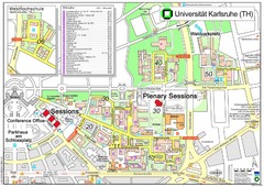
Karlsruhe University Campus Map
Campus map of Universität Karlsruhe, the oldest Technical University in Germany, founded in...
114 miles away
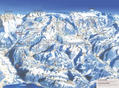
Portes du Soleil Ski Trail Map
Official ski map of the Portes du Soleil region. Winter 2007-2008 key figures: 278 ski-runs...
115 miles away
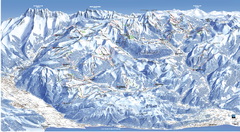
Les Portes du Soleil Portes Du Soleil Ski Trail...
Trail map from Les Portes du Soleil.
115 miles away
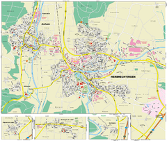
Herbrechtingen Map
Street map of city of Herbrechtingen
115 miles away
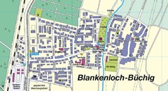
Buechig Map
Street map of town of Buechig
116 miles away
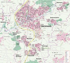
Backnang Region Map
Street map of Backnang and surrounding area
117 miles away
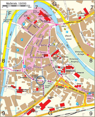
Backnang City Map
Street map of Backnang city center
117 miles away
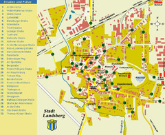
Landsberg Tourist Map
tourist map of town of Landsberg
117 miles away
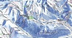
Avoriaz Ski Trail Map
Trail map from Avoriaz.
117 miles away
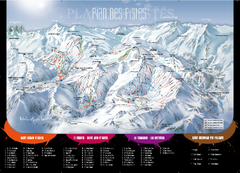
Le Corbier Ski Trail Map
Trail map from Le Corbier.
117 miles away
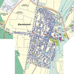
Blankenloch Map
Street map of town of Blankenloch
117 miles away
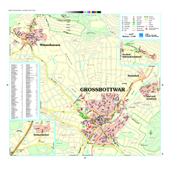
Großbottwar Map
Street map of Großbottwar and surrounding area
118 miles away
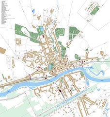
Landsberg Map
Street map of city of Landsberg
119 miles away
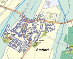
Staffort Map
Street map of town of Staffort
119 miles away
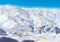
Solden Ski Trail Map
Ski trail map of the Solden ski area in the Tyrol region of Austria.
119 miles away

