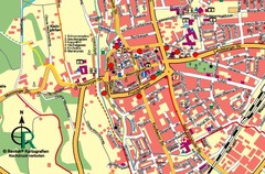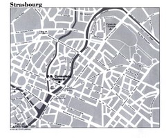
Strasbourg City Map
City map of part of Strasbourg, France. Shows US Consulate.
92 miles away
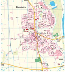
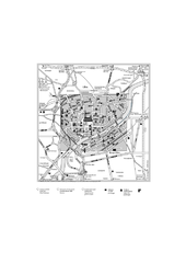
Dietenheim Map
Street map of Dietenheim
92 miles away
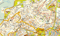
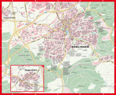
Boblingen Street Map
Street map of Boblingen center
94 miles away
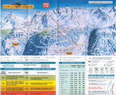
Val d’Anniviers (Grimentz, Zinal, Vercorin, St...
Trail map from Val d’Anniviers (Grimentz, Zinal, Vercorin, St-Luc und Chandolin), which provides...
94 miles away
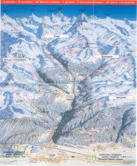
Val d’Anniviers (Grimentz, Zinal, Vercorin, St...
Trail map from Val d’Anniviers (Grimentz, Zinal, Vercorin, St-Luc und Chandolin), which provides...
94 miles away
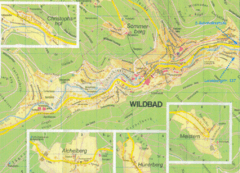
Bad Wildbad Map
Map of Bad Wildbad and surrounding region
95 miles away
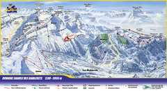
Les Diablerets Ski Trail Map
Trail map from Les Diablerets.
96 miles away
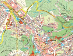
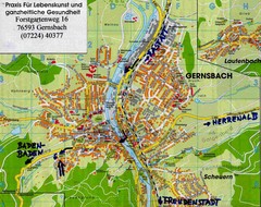
Baden Baden Street Map
Street map of city of Baden Baden
97 miles away
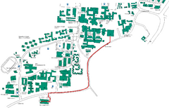
Universität Stuttgart Campus Map
In Stuttgart, Germany
98 miles away
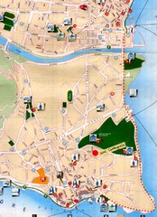
Verbania Pallatzo City Map
City map of Verbania-Pallanza, Italy on Lago Maggiore
100 miles away

Wuerttembergische Landeskirche Map
Karte der Evang. Landeskirche in Wuerttemberg, The Evangelical-Lutheran Church in Wuerttemberg
100 miles away
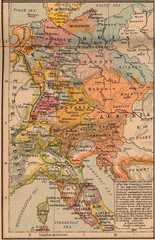
Germany Italy 1803 Map
Germany and Italy in 1803 after the Principle Decree of the Imperial Deputation
100 miles away
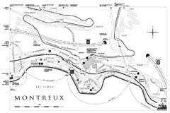
Montreux City Map
City map of Montreux, Switzerland on Lac Leman
100 miles away
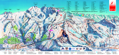
Matterhorn Ski Paradise Ski Trail Map
Trail map from Matterhorn ski paradise.
101 miles away
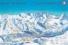
Zermatt Switzerland ski map
Zermatt Switzerland ski map
101 miles away
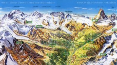
Zermatt Switzerland summer map
Summer hiking map of Zermatt
101 miles away
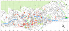
Zermatt Tourist Map
Guide to Zermatt, Switzerland
101 miles away
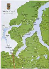
Lake Como Map
Map of lake with detail of surrounding towns
101 miles away
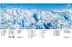
Leysin (Leysin, Les Mosses, La Lecherette) Ski...
Trail map from Leysin (Leysin, Les Mosses, La Lecherette), which provides downhill skiing.
101 miles away
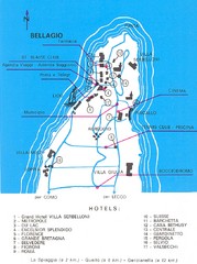
Bellagio Map
102 miles away
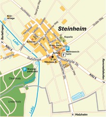
Ulm Steinheim Map
Street map of town of Ulm Steinheim
102 miles away
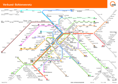
Stuttgart, Nahverkehr Map
102 miles away
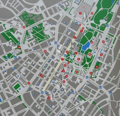
Stuttgart Tourist Map
Tourist street map of Stuttgart center
102 miles away
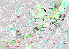
Stuttgart Street Map
Street map of Stuttgart, Germany. Show major buildings and public transport routes.
102 miles away
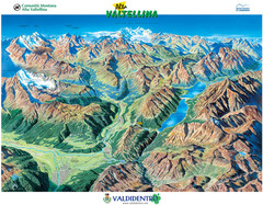
Valdidentro Alta Valtellina Summer Map
Panorama tourist map of the region of Valdidentro Alta Valtellina from Bormio, Italy to Livigno...
102 miles away
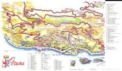
Stresa Map
103 miles away
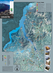
Lake Como Mountain Biking Trail Map
Trail map of mountain biking routes around Lake Como, Italy.
103 miles away
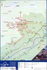
Ovronnaz Tourist Map
Tourist map of Ovronnaz, Switzerland. Shows biking routes, restaurants, and public transport.
104 miles away
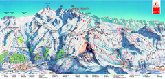
Piste Map of Zermatt with Cervinia
Combined piste map of Zermatt and Cervinia resorts. Shows both sides of the huge ski destination.
104 miles away
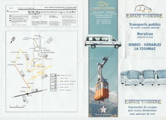
La Tzoumaz Public Transportation Map (French)
105 miles away
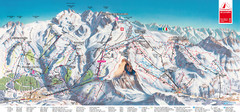
Zermatt Matterhorn Map
105 miles away
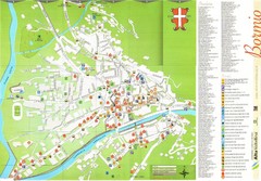
Bormio Tourist Map
Tourist map of town of Bormio, Italy. Legend of all streets and services.
107 miles away

