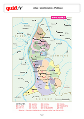
Liechtenstein Regional Map
Country map with detail of regional divides
51 miles away

Andermatt (Hospental) Ski Trail Map
Trail map from Andermatt (Hospental).
52 miles away
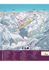
Malbun Ski Trail Map
Ski trail map of area surrounding Malbun, Liechtenstein. Also shows walking routes.
54 miles away
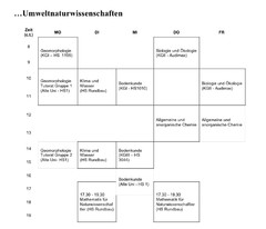
Test Map
54 miles away
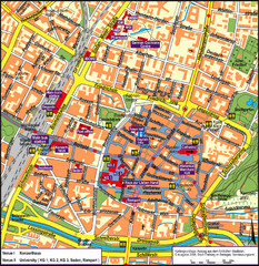
Frieburg Tourist Map
54 miles away
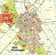
Bad Krozingen Map
Street map of Bad Krozingen
54 miles away
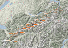
Swiss Alps Trail Map
Around Interlaken, Switzerland.
57 miles away
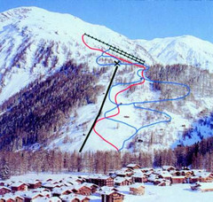
Hungerberg Ski Trail Map
Trail map from Hungerberg, which provides downhill skiing. It has 3 lifts. This ski area has its...
58 miles away
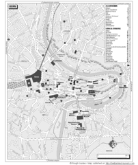
Bern Tourist Map
Tourist map of Bern, Switzerland. Shows museums, accommodations, eating, and drinking spots
59 miles away
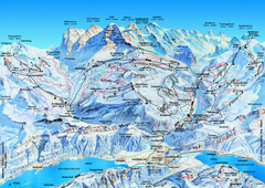
Jungfrauregion (Mürren, Wengen, Grindelwald) Ski...
Trail map from Jungfrauregion (Mürren, Wengen, Grindelwald), which provides downhill skiing.
59 miles away
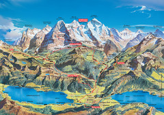
Jungfrau Grindelwald region summer map
This map is a summer panorama looking south from Interlaken toward the Jungfrau, Eiger, and the...
60 miles away
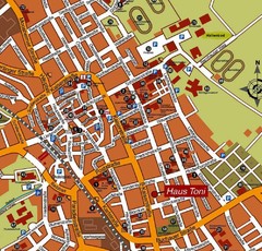
Bad Saulgau Tourist Map
Tourist street map of Bad Saulgau town center
63 miles away
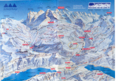
Jungfrau Map
64 miles away
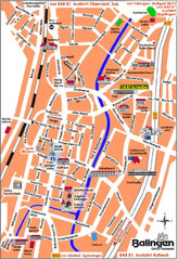
Balingen Tourist Map
Tourist street map of Balingen center
64 miles away
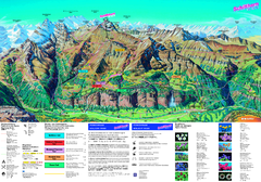
Schilthorn Summer Trail Map
Summer hiking map of Mürren-Schilthorn area. Shows lifts and trails.
65 miles away
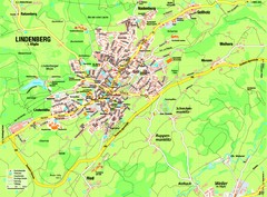
Lindenberg im Allgäu Map
Street map of Lindenberg
65 miles away
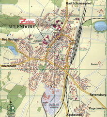
Aulendorf Map
Street map of city of Aulendorf
65 miles away
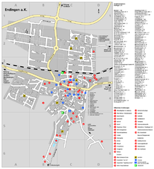
Endingen Tourist Map
Tourist street map of Endingen center
66 miles away
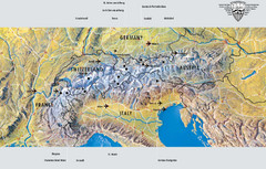
Alps Top Resort Town Map
Shows 12 top 4 season mountain resort towns in the Alps in France, Switzerland, Austria, and Italy.
66 miles away
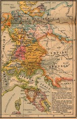
Germany Italy 1806 Map
Germany and Italy in 1806 at the dissolution of the Roman Empire
68 miles away
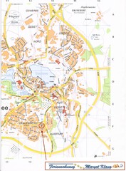
Bad Waldsee Map
Street map of Bad Waldsee
68 miles away
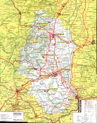
Alsace - Haut Rhin Map
68 miles away
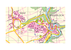
Haigerloch & Weildorf Map
Map of Haigerloch / Weildorf area
70 miles away
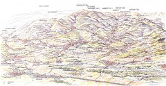
Guebviller valley panorama Map
70 miles away
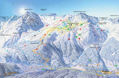
Montafon Ski Trail Map
Trail map from Montafon.
70 miles away
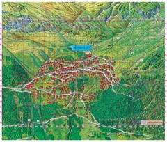
Bettmeralp Summer Map
Summer tourist map of town of Bettmeralp, Switzerland. With reference grid.
71 miles away
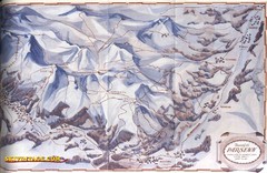
Davos-Klosters Ski Trail Map
Trail map from Davos-Klosters.
72 miles away
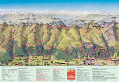
Davos Schatzalp Summer Trail Map
Trail map showing summer trails and lifts at Davos Schatzalp in Davos, Switzerland.
72 miles away
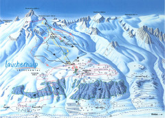
Lötschental (Wiler) Ski Trail Map
Trail map from Lötschental (Wiler), which provides downhill skiing.
72 miles away
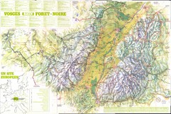
Vosges panorama Map
73 miles away

Colmar 1 Map
73 miles away
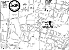
Colmar 2 Map
74 miles away
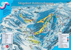
Balderschwang Balderschwang Ski Trail Map
Trail map from Balderschwang.
74 miles away
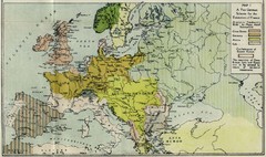
Extinction of France Map 1918
Shows pan-German scheme for the Extinction of France, 1918. As given in "Frankreich's...
74 miles away
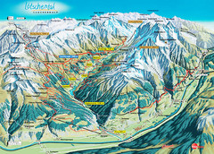
Lötschental Lauchernalp Summer Trail Map
Summer trail map of Lötschental Valley area. Shows hiking trails, towns, and mountains. The...
75 miles away
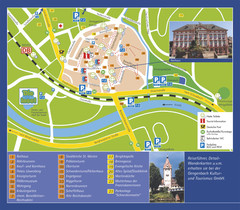
Gengenbach Tourist Map
Tourist map of Gengenbach
75 miles away

Alsace - Route du Vin Map
76 miles away

Lauterbad, Germany Map
76 miles away
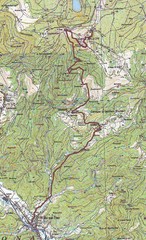
Grand Ballon Race Course Map
Topo course map of the 13.2 km running race to the summit of Grand Ballon
77 miles away

