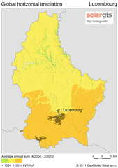
Solar Radiation Map of Luxembourg
Solar Radiation Map Based on high resolution Solar Radiation Database: SolarGIS. On the Solar Map...
183 miles away
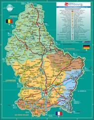
Luxembourg Tourism Map
Tourist Map of Luxembourg showing major roads, railways, and tourist attractions.
183 miles away
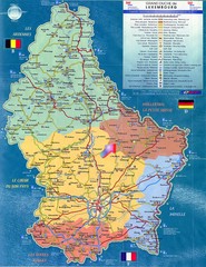
Luxembourg Tourist Map
Tourist map of the country of Luxembourg. Shows points of interest and activity icons. In French...
183 miles away
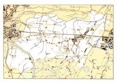
Capel Footpaths Map
Map of Footpaths in Capel Parish
186 miles away

Disabled Accessible Places in Maidstone, Kent Map
A guide to places in Maidstone that are wheelchair accessible.
187 miles away
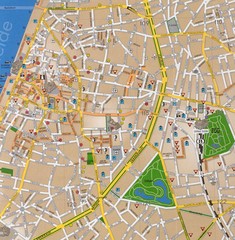
Antwerp Tourist Map
Tourist map of central Antwerp, Belgium. Scanned.
188 miles away
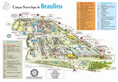
Campus Scientifique de Beaulieu Map
University of Rennes Science campus map.
190 miles away
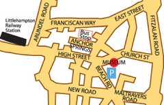
Museums in West Sussex, England Map
191 miles away
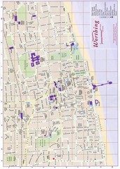
West Sussex, England Map
191 miles away
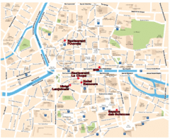
Rennes Street Map
Street map of the city center of Rennes, France. Shows building names and parking. Some points of...
192 miles away

Western Strasbourg Tourist Map
197 miles away
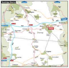
Tandridge District, England Region Map
197 miles away
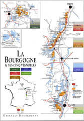
Burgandy Region Wine Districts Map
Shows wine districts of La Bourgogne region, France from Dijon to Macon.
199 miles away
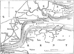
River Thames Map
Map of Thames from Gravesend to Canvey Island
201 miles away
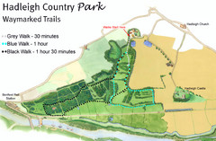
Hadleigh Country Park Map
3 walks, each color coded according to the estimated time it would take to complete each trek...
203 miles away
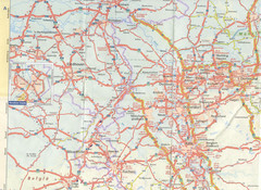
Maastricht Map
Highway map of Maastricht area
203 miles away
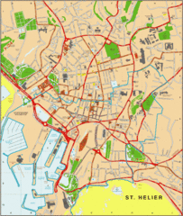
St. Helier Map
204 miles away
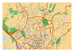
St. Helier Street Map
City street map of Saint Helier, Jersey, UK. With street index. Divided into 3 pages.
204 miles away
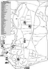
Portsmouth and Southsea Tourist Map
Tourist map of "where to go" in Portsmouth and Southsea, England. Includes photos of...
205 miles away
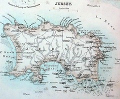
Jersey island Map
205 miles away
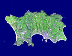
Jersey Physical Map
Guide to the Balliwick of Jersey, a British Crown Dependency
205 miles away
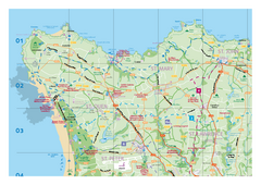
Jersey Tourist Map
Official tourist map of Isle of Jersey in the English Channel. Divided into 5 pages.
205 miles away
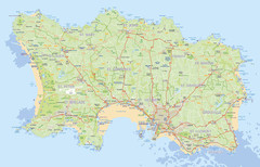
Jersey detailed road Map
206 miles away
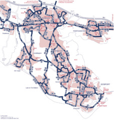
Fareham Busmap Map
Bus map of Portchester, Gosport and Fareham routes.
207 miles away
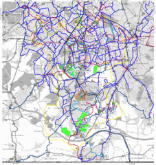
Cheam Bus Route Map
Olympic Bid 2016 - Bus Route Map
208 miles away
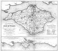
Isle of Wight Map
208 miles away
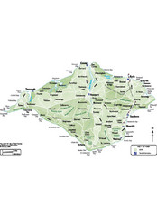
Isle of Wight Map
208 miles away
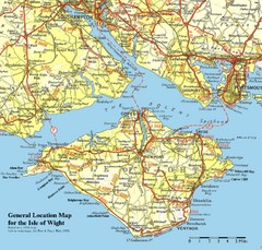
Isle of Wight Map
Based on 1950's map with no motorways
209 miles away
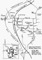
Petersfield, London Map
209 miles away
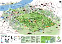
Greenwich Park Map
210 miles away
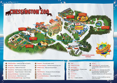
Chessington Zoo Map
210 miles away
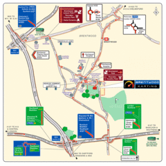
Brentwood, Essex Map
211 miles away
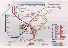
St. Georges Hospital Bus Services Map
211 miles away
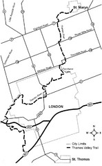
Thames Valley Trail Map
211 miles away

