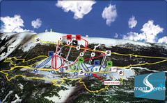
Mont Serein Ski Trail Map
Trail map from Mont Serein, which provides downhill skiing. This ski area has its own website.
351 miles away
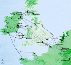
Ireland to Luxembourg Travel Map
Major routes from Ireland to Luxembourg. Shows major cities in Ireland, England, Germany and the...
352 miles away
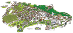
Vaduz Town Map
Tourist map of town of Vaduz, Liechtenstein. Panoramic view shows buildings and streets.
352 miles away
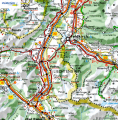
Liechtenstein road Map
352 miles away
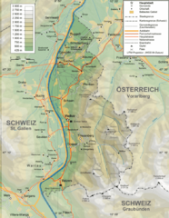
Liechtenstein topography Map
352 miles away
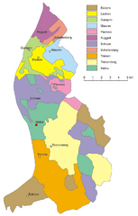
Liechtenstein Tourist Map
352 miles away
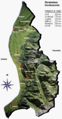
Liechtenstein Tourist Map
352 miles away
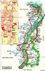
Liechtenstein Principality Map
353 miles away
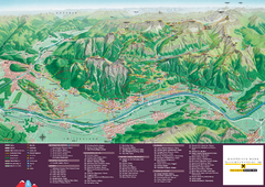
Liechtenstein Tourist Map
Tourist map of the country of Liechtenstein. Panoramic view shows all towns, trails, and mountains.
353 miles away
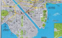
Ascona City Tourist Map
Landmarks in Ascona, Switzerland
353 miles away
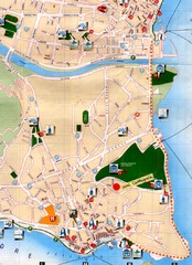
Verbania Pallatzo City Map
City map of Verbania-Pallanza, Italy on Lago Maggiore
353 miles away
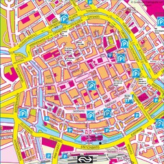
Groningen City Map
City map of central Groningen, The Netherlands. Some hotels highlighted.
353 miles away
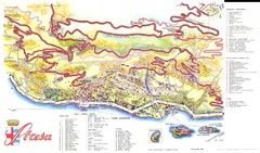
Stresa Map
354 miles away
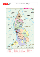
Liechtenstein Regional Map
Country map with detail of regional divides
354 miles away
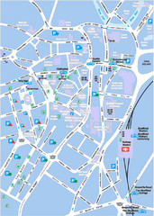
Sheffield City Map
City centre map of Sheffield, England. Shows parking, ATMs, and other points of interest.
355 miles away
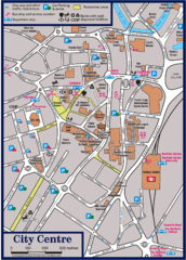
Sheffield Tourist Map
Tourist map of the city center of Sheffield, England.
355 miles away
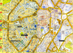
Sheffield City Center Map
355 miles away
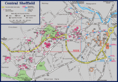
Central Sheffield Map
Map shows central Sheffield, England area. Bus stops and University of Sheffield parking areas...
355 miles away
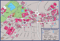
University of Sheffield Map
Campus map of the University of Sheffield in Sheffield, England. Shows parking, bus stops, and...
355 miles away
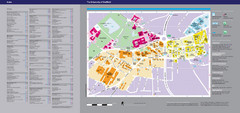
The University of Sheffield Reference Map
The University of Sheffield, United Kingdom
355 miles away
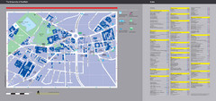
University of Sheffield Map
Campus map
355 miles away
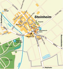
Ulm Steinheim Map
Street map of town of Ulm Steinheim
355 miles away
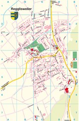
Regglisweiler Map
Map of town of Regglisweiler
356 miles away
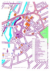
Central Rotherham Map
356 miles away

Areas Surrounding Bakewell, UK Map
Cities and areas around Bakewell, United Kingdom
356 miles away
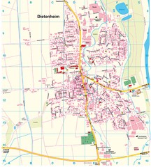
Dietenheim Map
Street map of Dietenheim
356 miles away
Bawtry Road Bus Lane Map
357 miles away
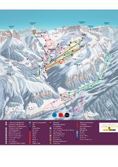
Malbun Ski Trail Map
Ski trail map of area surrounding Malbun, Liechtenstein. Also shows walking routes.
357 miles away
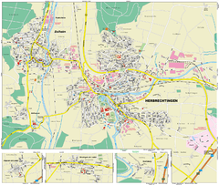
Herbrechtingen Map
Street map of city of Herbrechtingen
357 miles away
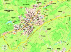
Lindenberg im Allgäu Map
Street map of Lindenberg
357 miles away
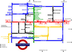
Doncaster Pup Guide Map
357 miles away
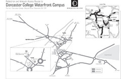
Doncaster College Waterfront Campus Map
B&W Printable version of the Doncaster College Waterfront Campus showing parking and vehicular...
358 miles away
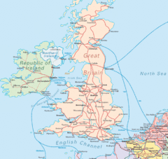
United Kingdom Transit Map
Guide to rail and ferries in the United Kingdom and surrounds
358 miles away
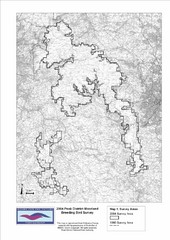
Bird Survey Map
Map of survey areas in the Peak District Moorland. Shows survey areas of 1990 and 2004.
358 miles away
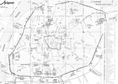
Avignon centre Map
358 miles away
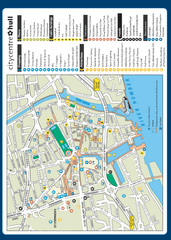
Hull City Centre Map
Tourist map of city of Hull. Shows points of interest including shopping, attractions, places...
358 miles away
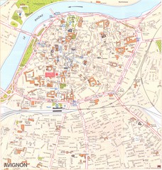
Avignon Map
358 miles away
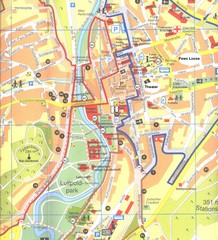
Bad Kissingen Tourist Map
Tourist map of Bad Kissingen
359 miles away

