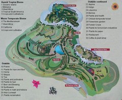
2000-2004 Eden Project Map
Guide to largest greenhouse in the world, the Eden Project
335 miles away

Wuerttembergische Landeskirche Map
Karte der Evang. Landeskirche in Wuerttemberg, The Evangelical-Lutheran Church in Wuerttemberg
335 miles away
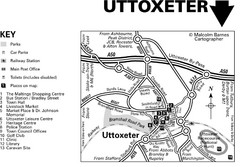
Uttoxeter Town Centre Map
335 miles away
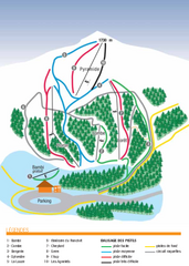
Valdrôme Ski Trail Map
Trail map from Valdrôme.
337 miles away
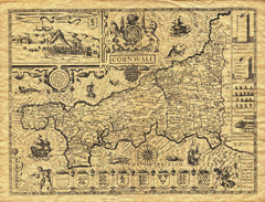
Old Maps: Cornwall Map
Map of Cornwall from The Theatre and Empire of Great Britain
338 miles away
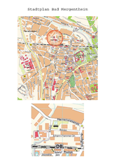
Bad Mergentheim Map
Street map of Bad Mergentheim
338 miles away
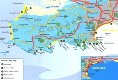
Swansea Area Tourist Map
339 miles away
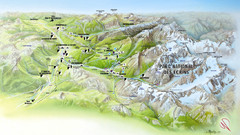
Ecrins National Park Map
Panoramic map of Parc National des Ecrins, France
339 miles away
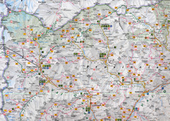
Northern Italy Map
Map of very north of Italy. Shows all towns, roads, recreational activities and gas stations.
339 miles away
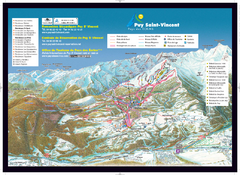
Puy Saint-Vincent Ski Trail Map
Trail map from Puy Saint-Vincent.
339 miles away
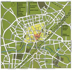
Gütersloh Map
Street tourist map of Gütersloh
340 miles away
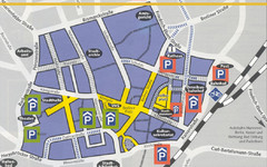
Parking Spots in Downtown Gutersloh Map
340 miles away
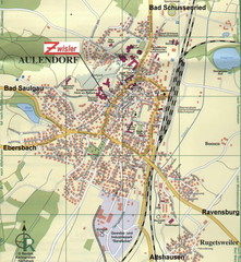
Aulendorf Map
Street map of city of Aulendorf
340 miles away
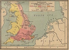
600 British Settlement Map
Map of settlements of Angels, Saxons, Jutes and Native Britons in 600
342 miles away
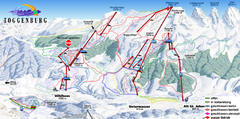
Toggenburg Ski Trail Map
Trail map from Toggenburg.
342 miles away
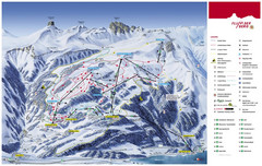
Flumserberg Ski Trail Map
Trail map from Flumserberg.
342 miles away
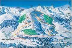
Brigels Ski Trail Map
Trail map from Brigels.
343 miles away
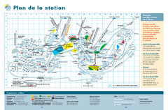
Orcières Village Ski Trail Map
Trail map from Orcières.
343 miles away

Vaison la Romaine Map
344 miles away
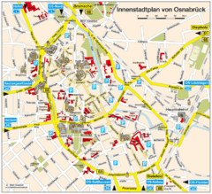
Osnabruck Tourist Map
Tourist map of Osnabruck city center
344 miles away
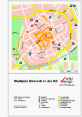
Biberach an der Riß Tourist Map
Tourist map of Biberach an der Riß town center
344 miles away

Main Historic Sites in Wales Map
Welsh Historic Monuments map (CADW) showing roads, cities and the main castles and abbeys in Wales.
345 miles away
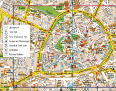
Paderborn Center Map
Street map of Paderborn city center
345 miles away
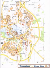
Bad Waldsee Map
Street map of Bad Waldsee
345 miles away
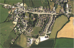
St Issey in Bloom Map
345 miles away

Orange Map
346 miles away
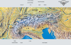
Alps Top Resort Town Map
Shows 12 top 4 season mountain resort towns in the Alps in France, Switzerland, Austria, and Italy.
346 miles away
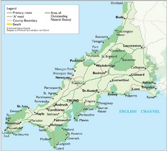
Cornwall Map
Map of Cornwall with detail of towns and cities
346 miles away
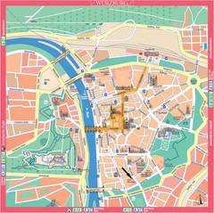
Würzburg Tourist Map
Tourist street map of Würzburg center
347 miles away

Fulda-city map
348 miles away
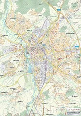
Fulda 1:20000 Map
348 miles away
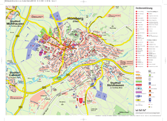
Homberg (Efze) Tourist Map
Tourist street map of Homberg
348 miles away
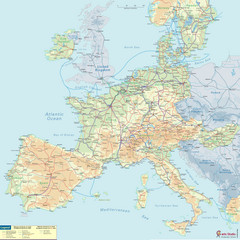
European Railway Map
349 miles away
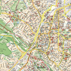
Bielefeld Street Map
Street map of central Bielefeld, Germany. Shows some points of interest.
350 miles away
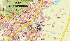
Bad Lippspringe Map
Street map of Bad Lippspringe
350 miles away
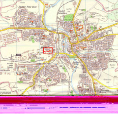
Crailsheim Map
Street map of Crailsheim region
350 miles away
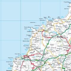
Cornwall Coast Map
Map of coast cities in Cornwall
351 miles away

