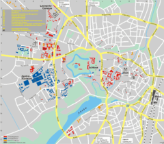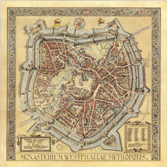
Münster City Map 1636
317 miles away
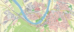
Miltenberg Map
Map of Miltenberg and surrounding area
317 miles away
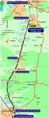
Nottingham Transport Map
A map showing train stations in Loughborough to Nottingham. Includes surrounding roads, towns...
317 miles away
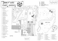
Abbey Dore Court Garden Map
317 miles away
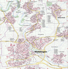
Waiblingen Map
City map of Waiblingen and surrounding region
317 miles away
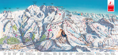
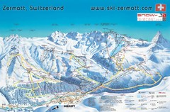
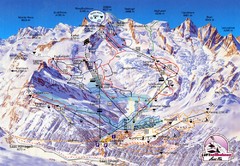
Zermatt Matterhorn Map
317 miles away

Woodhall Spa Map
Street map of Woodhall Spa
318 miles away
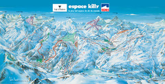
Espace Killy (Val D’Isere, Tignes) Ski Trail Map
Trail map from Espace Killy (Val D’Isere, Tignes).
319 miles away
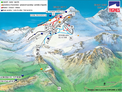
Espace Killy (Val D’Isere, Tignes) Tignes...
Trail map from Espace Killy (Val D’Isere, Tignes).
319 miles away

Valloire Pistes Ski Map
319 miles away
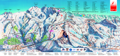
Matterhorn Ski Paradise Ski Trail Map
Trail map from Matterhorn ski paradise.
319 miles away
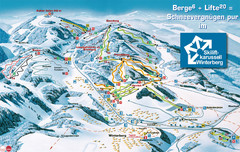
Winterberg Ski Trail Map
Trail map from Winterberg.
319 miles away
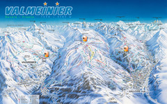
Valloire Vallorie and Valmeinier Ski Trail Map
Trail map from Valloire, which provides downhill skiing.
319 miles away
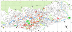
Zermatt Tourist Map
Guide to Zermatt, Switzerland
319 miles away
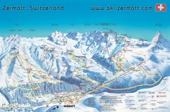
Zermatt Switzerland ski map
Zermatt Switzerland ski map
319 miles away
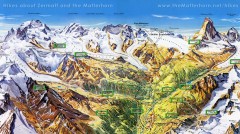
Zermatt Switzerland summer map
Summer hiking map of Zermatt
319 miles away
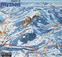
Brunni-Alpthal Ski Trail Map
Trail map from Brunni-Alpthal.
319 miles away
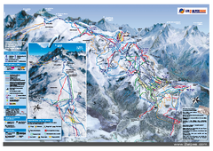
Les Deux Alpes Ski Trail Map
Trail map from Les Deux Alpes.
319 miles away
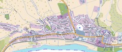
Collenberg Map
Street map of town of Collenberg
320 miles away
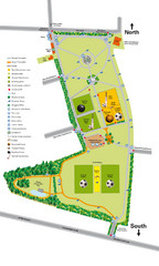
Palfrey Park Map
Detail map of Palfrey Park
320 miles away
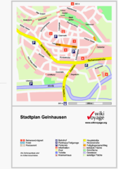
Gelnhausen Center Map
Tourist map of Gelnhausen center
321 miles away
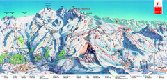
Piste Map of Zermatt with Cervinia
Combined piste map of Zermatt and Cervinia resorts. Shows both sides of the huge ski destination.
321 miles away
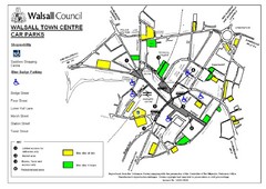
Downtown Walsall Parking Map
321 miles away
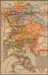
Germany Italy 1803 Map
Germany and Italy in 1803 after the Principle Decree of the Imperial Deputation
321 miles away
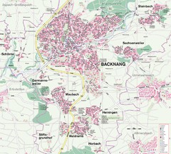
Backnang Region Map
Street map of Backnang and surrounding area
321 miles away
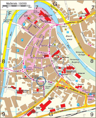
Backnang City Map
Street map of Backnang city center
322 miles away
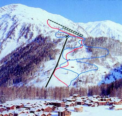
Hungerberg Ski Trail Map
Trail map from Hungerberg, which provides downhill skiing. It has 3 lifts. This ski area has its...
322 miles away

Europe Political Map
322 miles away
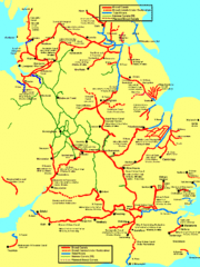
UK Broad Beam Canal Map
Guide to UK waterways that accommodate a barge
322 miles away
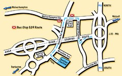
Bentley Map
Location map for Bentley. Includes roads, bus stops, and directions to Bentley Pavilion.
322 miles away
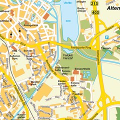
Nordhorn Center Map
Street map of Nordhorn town center
322 miles away
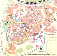
Kirchain Center Map
Street map of Kirchain center
323 miles away
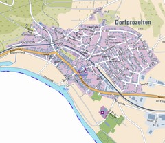
Dorfprozelten Map
Street map of Dorfprozelten
323 miles away
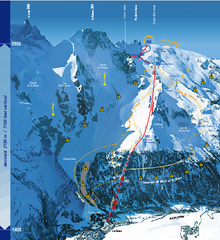
La Grave Ski Trail Map
Trail map from La Grave.
323 miles away
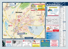
Kirchhain Tourist Map
Tourist map of Kirchhain and surrounding region
323 miles away

