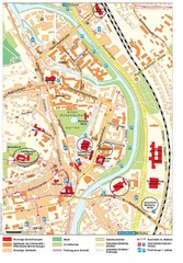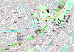
Stuttgart Street Map
Street map of Stuttgart, Germany. Show major buildings and public transport routes.
311 miles away
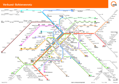
Stuttgart, Nahverkehr Map
311 miles away
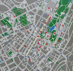
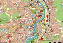
Stuttgart Tourist Map
Tourist street map of Stuttgart center
311 miles away

Lesconil City Map
City map of Lesconil, France
311 miles away
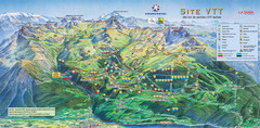
Courcheval Mountain Biking Map
Panoramic downhill mountain biking trail map of Courcheval, France in Vanoise National Park.
311 miles away
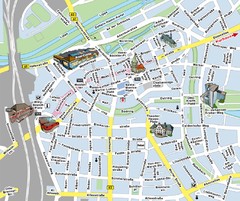
Hamm Center Tourist Map
Tourist street map of Hamm center
311 miles away
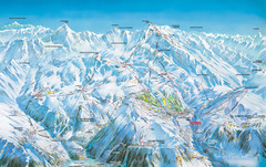
Vaujany Ski Trail Map
Ski trail map of Vaujany, France ski region. Shows lift systems from Vaujany, Oz En Oisans Station...
311 miles away
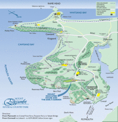
Mount Edcumbe Tourist Map
311 miles away
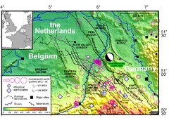
Earthquake in Lower Rhine Map
Seismotectonic map of the Lower Rhine graben system in the border area of Belgium, Germany and the...
311 miles away
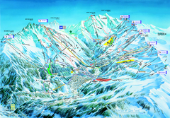
Les 3 Vallées Méribel Ski Trail Map
Trail map from Les 3 Vallées.
312 miles away
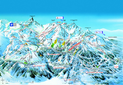
Les 3 Vallées Courchevel Detail Ski Trail Map
Trail map from Les 3 Vallées.
312 miles away

Heilbronn Tourist Map
Tourist map of Heilbronn
312 miles away
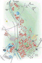
University of Birmingham Map
Guide to Birmingham University and surrounds
313 miles away
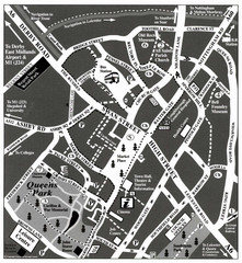
Loughborough Town Centre Map
313 miles away
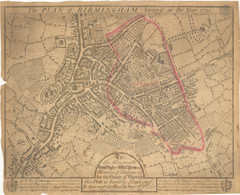
1731 Birmingham Map
Guide to historic Birmingham, UK
313 miles away
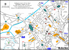
Central Birmingham Map
313 miles away

Birmingham City Map
Street map of Birmingham, England. Shows buildings, hospitals, parking, and schools.
313 miles away
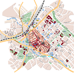
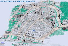
Reutlingen Tourist Map
Tourist street map of Reutlingen
313 miles away
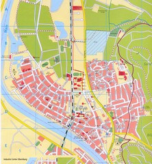
Erlenbach Map
Street map of town of Erlenbach
314 miles away
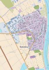
Niedernberg Map
Street map of Niedernberg
314 miles away
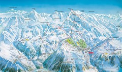
Grands Rousses (L’alpe d’Huez) Ski...
Trail map from Grands Rousses (L’alpe d’Huez), which provides downhill skiing.
314 miles away
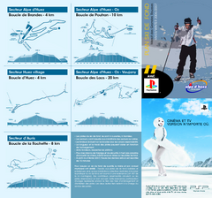
Grands Rousses (L’alpe d’Huez) Nordic...
Trail map from Grands Rousses (L’alpe d’Huez), which provides downhill skiing.
314 miles away
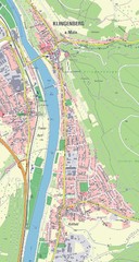
Klingenberg Map
Map of Klingenberg and surrounding region
314 miles away
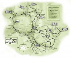
Abergavenny Cycle Map
Shows suggested easy cycling routes, other roads, steeper climbs, parking, public houses, shops...
314 miles away
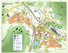
Amorbach Tourist Map
Tourist map of Amorbach
315 miles away
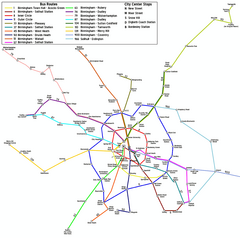
Birmingham Transit Map
Guide to bus lines in Birmingham, UK
315 miles away
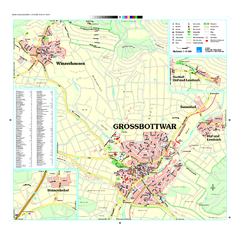
Großbottwar Map
Street map of Großbottwar and surrounding area
315 miles away
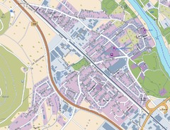
Kleinheubach Map
Street map of Kleinheubach
315 miles away
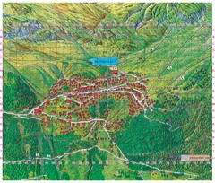
Bettmeralp Summer Map
Summer tourist map of town of Bettmeralp, Switzerland. With reference grid.
315 miles away
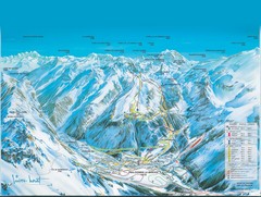
Pralognan-la-Vanoise Ski Trail Map
Trail map from Pralognan-la-Vanoise.
315 miles away
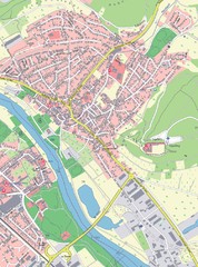
Grossheubach Map
Street map of Grossheubach
315 miles away
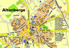
Altenberge Tourist Map
Tourist map of Altenberge
315 miles away
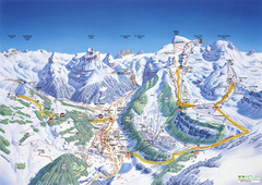
Engelberg Titlis Ski Trail Map
Trail map from Engelberg Titlis.
316 miles away
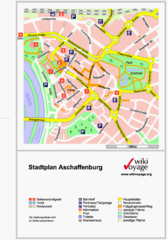
Aschaffenburg Tourist Map
Tourist street map of Aschaffenburg
316 miles away
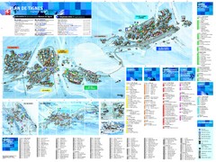
Tignes Ski Resort Town Map
Map of the ski resort town of Tignes, France. Shows residences, hotels, services, clubs, and other...
316 miles away

