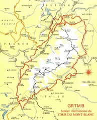
Tour du Mont Blanc Map
Beginner's Guide to the Tour du Mont Blanc
299 miles away
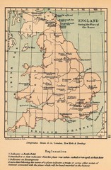
England War of the Roses Map
Guide to battle sites, encampments and treaties of the War of the Roses in England
300 miles away
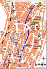
Balingen Tourist Map
Tourist street map of Balingen center
300 miles away
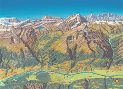
Leukerbad Summer Trail Map
Summer hiking trail map from Leukerbad.
300 miles away
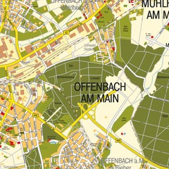
Offenbach am Main Map
Street map of Offenbach am Main
300 miles away
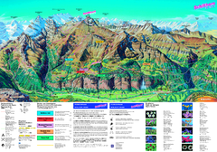
Schilthorn Summer Trail Map
Summer hiking map of Mürren-Schilthorn area. Shows lifts and trails.
301 miles away
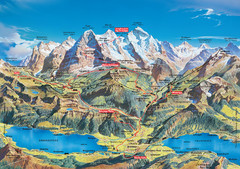
Jungfrau Grindelwald region summer map
This map is a summer panorama looking south from Interlaken toward the Jungfrau, Eiger, and the...
302 miles away

Paradiski Resort Map
Paradiski Map of the ski runs, mountain elevations and amenities.
302 miles away
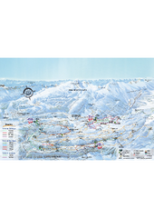
Herbouilly Ski Trail Map
Trail map from Herbouilly.
302 miles away
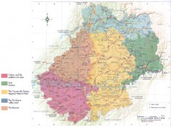
Lot region Map
302 miles away
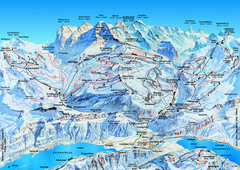
Jungfrauregion (Mürren, Wengen, Grindelwald) Ski...
Trail map from Jungfrauregion (Mürren, Wengen, Grindelwald), which provides downhill skiing.
302 miles away
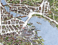
Lucerne Tourist Map
Tourist map of central Lucerne, Switzerland. 3D view showing buildings.
302 miles away
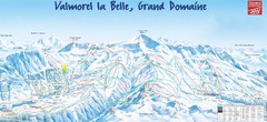
Valmorel Valmorel Ski Trail Map
Trail map from Valmorel.
302 miles away

Zurich Metro Map
Official metro map from ZVV. Shows lines in central Zurich, Switzerland.
303 miles away
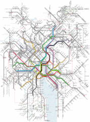
Zurich Tram Map
Map of tram system for Zurich and surrounding areas
303 miles away
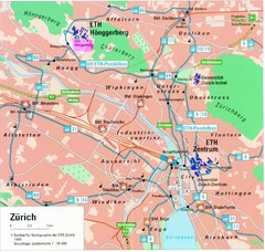
Zurich City Map
City map of Zurich with university highlighted
303 miles away
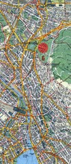
Zurich, Switzerland Tourist Map
303 miles away
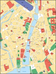
Zurich, Switzerland Tourist Map
303 miles away
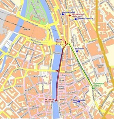
Zurich, Switzerland Tourist Map
303 miles away
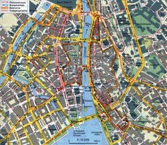
Zurich, Switzerland Tourist Map
303 miles away
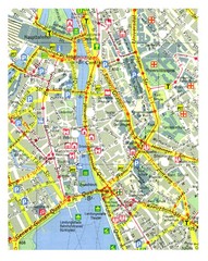
Zurich, Switzerland Tourist Map
303 miles away
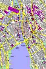
Zurich, Switzerland Tourist Map
303 miles away
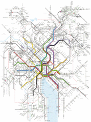
Zurich Transit Map
Map of transit routes throughout Zurich
303 miles away
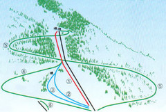
Granier Ski Trail Map
Trail map from Granier.
303 miles away
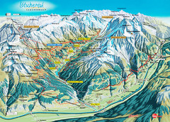
Lötschental Lauchernalp Summer Trail Map
Summer trail map of Lötschental Valley area. Shows hiking trails, towns, and mountains. The...
303 miles away
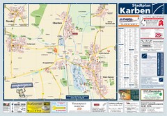
Karben Tourist Map
Tourist map of Karben and surrounding region
303 miles away
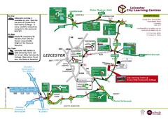
Leicester City Learning Centres Map
303 miles away

Butzbach Tourist Map
Tourist map of city of Butzbach
303 miles away
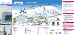
Lente Ski Trail Map
Trail map from Lente.
303 miles away
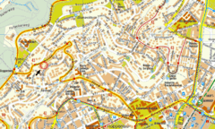
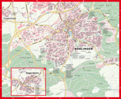
Boblingen Street Map
Street map of Boblingen center
303 miles away
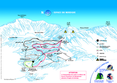
Grand Echaillon Ski Trail Map
Trail map from Grand Echaillon.
303 miles away

Haute Route Ski Tour Map - Verbier Variant
Ski tour topo route map of the European Alps' most famous alpine ski tour connecting two...
304 miles away
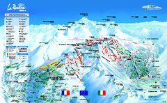
La Rosière Ski Trail Map
Trail map from La Rosière.
304 miles away
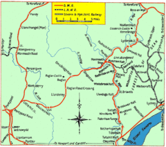
Monmouth and Wye Valley Railways Map
Map showing the 3 major railway lines and the cities with stops of Monmouth, UK.
305 miles away
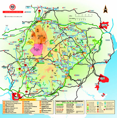
Dartmoor National Park Map
Official visitor map of Dartmoor National Park, England. Shows elevation and visitor attactions.
305 miles away

