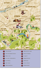
Essen Region Tourist Map
Tourist map of region of Essen
274 miles away
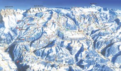
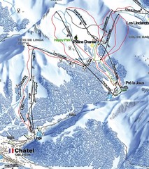
Morzine Ski Trail Map
Ski trail map of Morzine and surrounding ski areas.
274 miles away
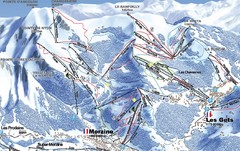
Morzine Morzine Ski Trail Map
Trail map from Morzine.
274 miles away
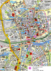
Essen Street Map
Street map of central Essen, Germany
274 miles away
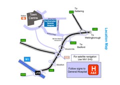
Central Northampton, England Tourist Map
Central Northampton in England
274 miles away
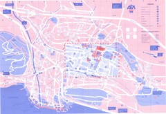
Aix le Bain Map
275 miles away
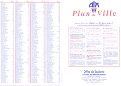
Aix le Bain - index Map
275 miles away
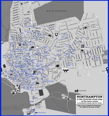
Northampton Town Map
Map of Northampton from the late Victorian period with public houses, inns, hotels, and pubs all...
275 miles away
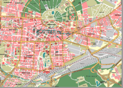
Karlsruhe Map
City street map of Karlsruhe
275 miles away
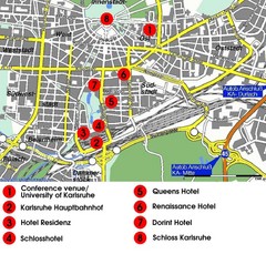
Karlsruhe Hotel Map
275 miles away
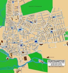
Northampton Town Map
Street map of Northampton from the late Victorian period
275 miles away
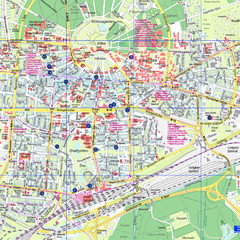
Karlsruhe Tourist Map
Tourist map of Karlsruhe
275 miles away
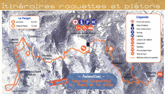
Le Fanget Ski Trail Map
Trail map from Le Fanget, which provides nordic skiing.
275 miles away
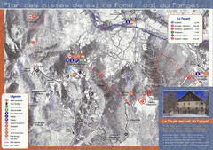
Le Fanget Ski Trail Map
Trail map from Le Fanget, which provides nordic skiing.
275 miles away
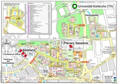
Karlsruhe University Campus Map
Campus map of Universität Karlsruhe, the oldest Technical University in Germany, founded in...
275 miles away
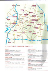
Cotswold England Tourist Map
The Cotswolds are situated in the Heart of England less than 2 Hours Drive from London. Map shows...
276 miles away
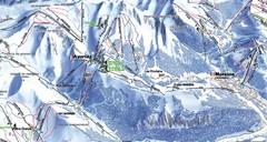
Avoriaz Ski Trail Map
Trail map from Avoriaz.
276 miles away
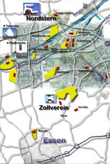
Essen-Nord Map
276 miles away
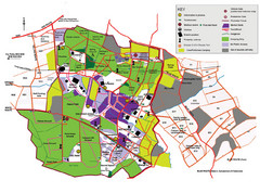
2008 Glastonbury Festival Guide Map
276 miles away
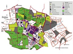
Glastonbury, England Festival Park Map
The park layout in Glastonbury, England
276 miles away

Cawston, Norfolk Guide Map
277 miles away
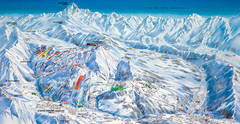
Le Grand Bornand Ski Trail Map
Trail map from Le Grand Bornand.
277 miles away
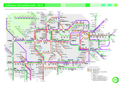
Ruhr VRR Schnellverkehr Map
277 miles away
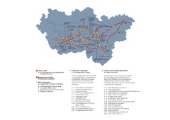
Ruhrgebiet Industriekultur Map
277 miles away
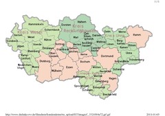
Ruhr RVR Map
277 miles away
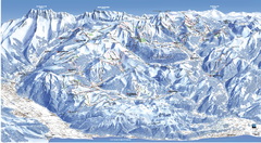
Les Portes du Soleil Portes Du Soleil Ski Trail...
Trail map from Les Portes du Soleil.
277 miles away
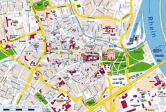
Speyer City Map
City map of central Speyer, Germany
277 miles away
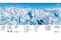
Leysin (Leysin, Les Mosses, La Lecherette) Ski...
Trail map from Leysin (Leysin, Les Mosses, La Lecherette), which provides downhill skiing.
278 miles away
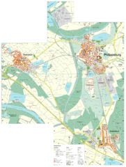
Philippsburg Map
Street map of Philippsburg
278 miles away

Lauterbad, Germany Map
278 miles away
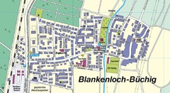
Buechig Map
Street map of town of Buechig
278 miles away
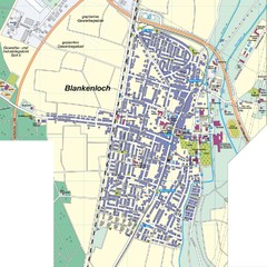
Blankenloch Map
Street map of town of Blankenloch
278 miles away
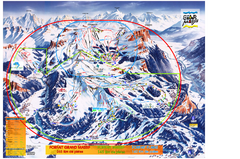
Les Carroz Ski Trail Map
Trail map from Les Carroz.
278 miles away
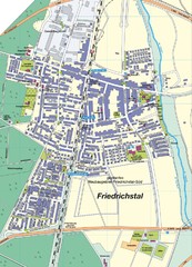
Friedrichstal Map
Street map of town of Friedrichstal
278 miles away
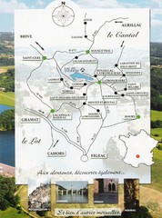
Southern France Tourist Map
Hand drawn map of an area of southern France with pictures and cities shown.
279 miles away


