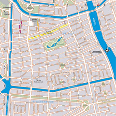
De Pijp Neighborhood Map
De Pijp neighborhood in Amsterdam map
267 miles away
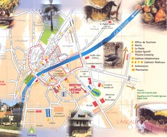
Montignac sur Vesere Map
267 miles away
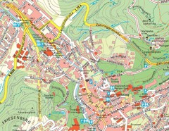
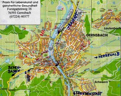
Baden Baden Street Map
Street map of city of Baden Baden
268 miles away
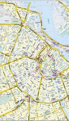
Amsterdam Central City Map
City map of Amsterdam Central
268 miles away
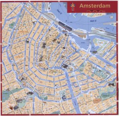
Amsterdam Tourist map
Shows major tourist points of interest. Scanned.
268 miles away
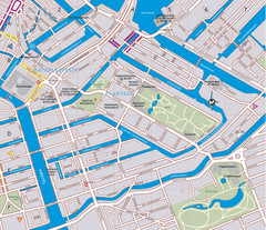
Waterlooplein, Plantage and Oosterpark Tourist Map
Waterlooplein, Plantage and Oosterpark neighborhoods in Amsterdam
268 miles away
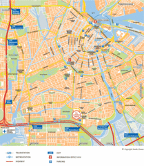
Amsterdam Tourist Map
268 miles away
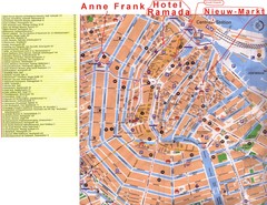
Amsterdam Tourist Map
268 miles away
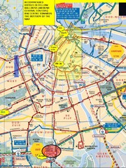
Amsterdam Hotel Map
268 miles away
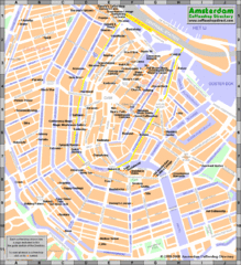
Amsterdam Coffee Shops Map
268 miles away
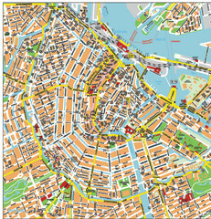
Amsterdam City Tourist Map
268 miles away
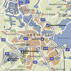
Amsterdam Airport Tourist Map
268 miles away
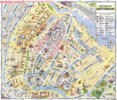
Amsterdam City Tourist Map
268 miles away
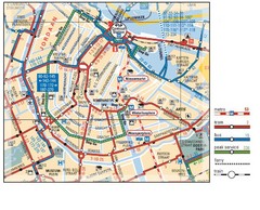
Amsterdam Transit Map
268 miles away
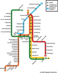
Amsterdam Metro Map
268 miles away
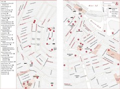
Amsterdam Tourist Map
Main attractions for sightseers in Amsterdam
268 miles away
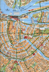
Amsterdam Center Map
268 miles away
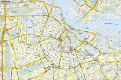
Amsterdam Map
Street map of Amsterdam, Netherlands.
268 miles away
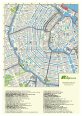
Amsterdam Map
Guide to cannabis cafes in Amsterdam
268 miles away
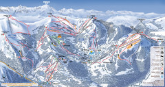
Les Gets Ski Resort Map
Ski Resort map for Les Gets in France. Map shows runs, lifts, mountains, elevations and amenities.
269 miles away
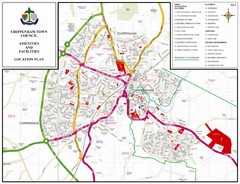
Chippenham Town Map
269 miles away
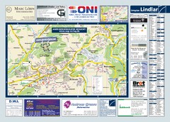
Lindlar Tourist Map
Tourist map of Lindlar and surrounding region
269 miles away

Annecy Map
269 miles away
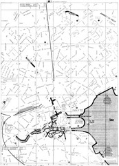
Annecy environs Map
269 miles away

Annecy centre Map
269 miles away
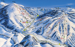
Feldberg Ski Trail Map
Trail map from Feldberg.
270 miles away
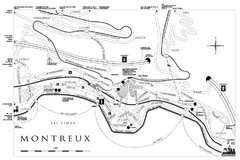
Montreux City Map
City map of Montreux, Switzerland on Lac Leman
270 miles away
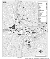
Bern Tourist Map
Tourist map of Bern, Switzerland. Shows museums, accommodations, eating, and drinking spots
270 miles away
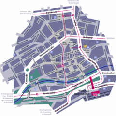
Wuppertal Elberfeld Street Map
Street map of Elberfeld in Wuppertal, Germany. In German.
270 miles away
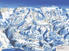
Portes du Soleil Ski Trail Map
Official ski map of the Portes du Soleil region. Winter 2007-2008 key figures: 278 ski-runs...
271 miles away
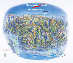
Portes du Soleil Summer Map
Summer recreation map of the Portes du Soleil covers both the French and Swiss sides of the area...
271 miles away
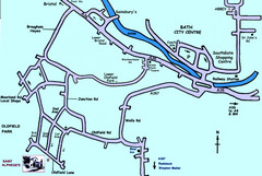
Bath City, England Map
Map from the centre of Bath, visitor information and streets.
273 miles away
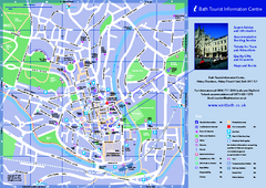
Bath City Map
273 miles away
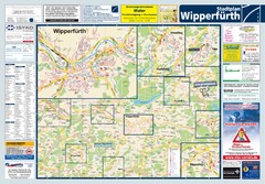
Wipperfuerth Tourist Map
Tourist map of Wipperfuerth and surrounding region
274 miles away
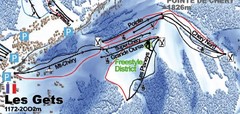
Les Gets Ski Trail Map
Trail map from Les Gets.
274 miles away
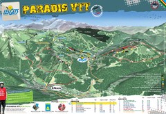
Les Gets Trail Map
Mountain biking trail map
274 miles away
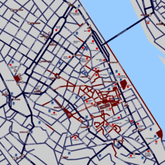
Heisingen Map
Detailed map of the city including parking, streets, and hotels.
274 miles away

