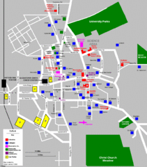
Oxford City Map
Oxford University and surrounding city
257 miles away

Weil am Rhein Tourist Map
Tourist street map of Weil am Rhein
257 miles away
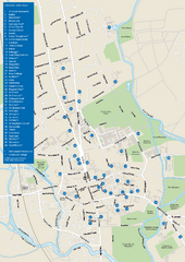
University of Oxford Campus Map
campus map
257 miles away
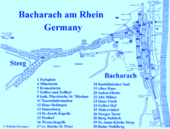
Bacharach Tourist Map
Tourist map of town of Bacharach
257 miles away

Poitou Charantes Map
257 miles away
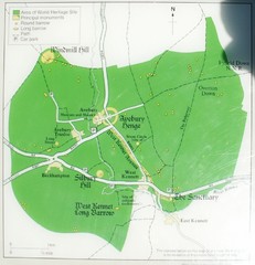
Avebury World Heritage Site Map
Map of Avebury, England showing World Heritage Site and surroundings. From photo.
258 miles away
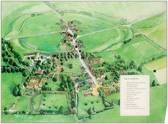
Avebury Tourist Map
Tourist map of Avebury, England. Shows Avebury Henge. From photo.
259 miles away
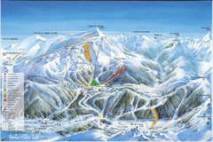
Super Lioran Ski Trail Map
Trail map from Super Lioran.
259 miles away

Old European map
259 miles away
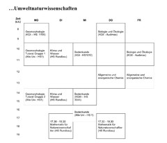
Test Map
259 miles away
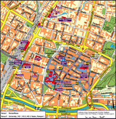
Frieburg Tourist Map
259 miles away
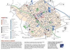
Milton Keynes Region Tourist Map
Tourist map of region around Milton Keynes, UK. Shows railway stations, out of town shopping, and...
259 miles away
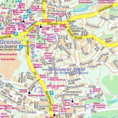
Bergisch Gladbach Map
City street map of Bergisch Gladbach
259 miles away
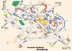
Bergisch Gladbach Tourist Map
Tourist map of Bergisch Gladbach
259 miles away
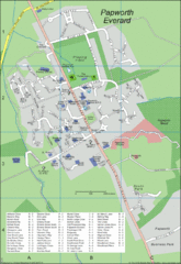
Papworth Everard Tourist Map
260 miles away
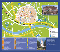
Gengenbach Tourist Map
Tourist map of Gengenbach
260 miles away
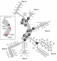
Amsterdam Airport Schipol Map
262 miles away
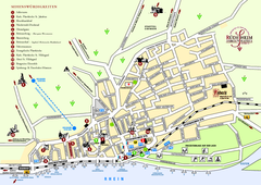
Rüdesheim Tourist Map
Tourist street map of Rüdesheim
263 miles away

Great Yarmouth District England Map
Map of Great Yarmouth & the Norfolk Broads showing major roads and cities.
264 miles away
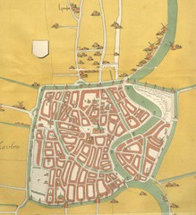
Haarlem City Map
Haarlem city center map from 1550
264 miles away
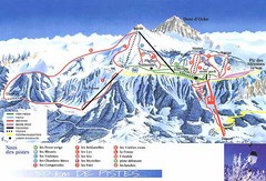
Thollon-les-Memises Ski Trail Map
Trail map from Thollon-les-Memises.
265 miles away
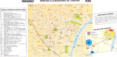
Perigueux Map
265 miles away
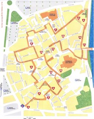
Perigueux - renaissance Map
265 miles away
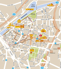
Duisburg City Map
Street map of Duisburg center
265 miles away
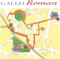
Perigueux - roman Map
265 miles away
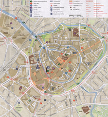
Amersfoort Map
265 miles away
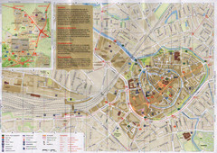
Amersfoort Map
265 miles away
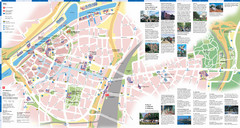
Duisburg Tourist Map
Tourist map of central Duisburg, Germany. Shows points of interest.
265 miles away

Brittany region Map
266 miles away
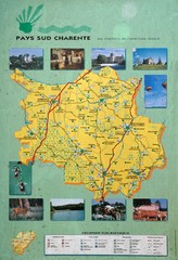
Charente Region Tourist Map
Tourist map of Charente region in southern France. Scanned.
266 miles away
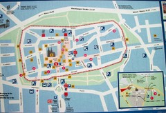
Xanten Tourist Map
Xanten center tourist map
266 miles away

Bad Durkheim Tourist Map
Tourist map of Bad Durkhiem
266 miles away
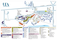
U. of East Anglia Map
266 miles away
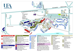
University of East Anglia Map
266 miles away
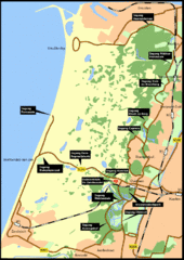
Nationaal Park Zuid-Kennemerland Map
Park overview map of Zuid-Kennemerland National Park (NPZK), Netherlands
266 miles away
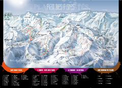
Le Corbier Ski Trail Map
Trail map from Le Corbier.
267 miles away

