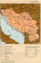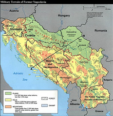
Bosnia and Herzegovina Military Terrain Map
Map of military terrain of former Yugoslavia
0 miles away
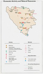
Bosnia and Herzegovina Economic Activity Map
Map of economic activity throughout Bosnia and Herzegovina
0 miles away
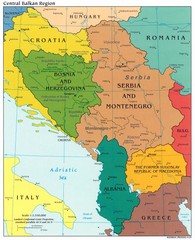
Central Balkan Political Map
0 miles away
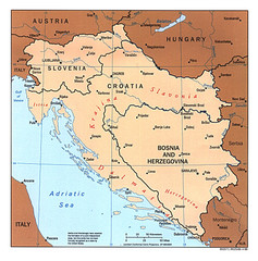
West Balkan States Tourist Map
0 miles away
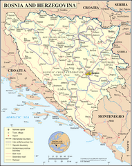
Bosnia and Herzegovina Map
Guide to Bosnia and Herzegovina
12 miles away
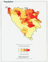
Bosnia and Herzegovina Population Density Map
Map of Bosnia and Herzegovina's population density
15 miles away
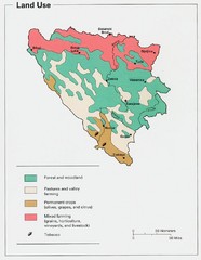
Bosnia and Herzegovina Land Use Map
Map of Bosnia's land use
16 miles away
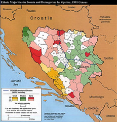
Ethnic Majorities in Bosnia and Herzegovina Map
17 miles away
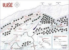
Vlasic Ski Trail Map
Trail map from Vlasic.
27 miles away
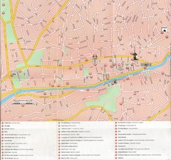
Sarajevo Downtown Map
Free tourist map of downtown Sarajevo from Sarajevo Navigator Brochure
34 miles away
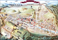
Sarajevo Survival Map 1992-1996
From creator famainternational.com: " Sarajevo Survival Map 92-96 is the ultimate visual...
37 miles away
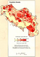
Yugoslavian Population Map
This map clearly marks Yugoslavia's distribution of its population.
41 miles away
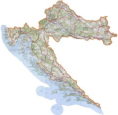
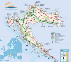
Croatia Tourist Map
Map of Croatia's roads, cities, and areas
43 miles away
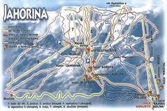
Jahorina Ski Trail Map
Trail map from Jahorina.
47 miles away
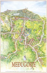
Medjugorje Tourist Map
Tourist map of town of Medjugorje, Bosnia & Herzegovina.
49 miles away
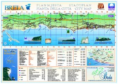
Brela Tourist Map
Tourist map of Brela, Croatia. Shows street index and list of hotels.
53 miles away
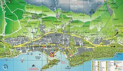
Makarska Tourist Map
54 miles away
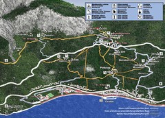
Tucepi Tourist Map
55 miles away
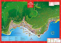
Podgora map
56 miles away
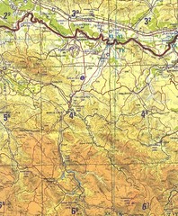
Banja Luka Region Map
63 miles away

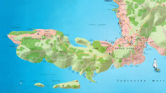
Island of Hvar Map
Map of the Island Hvar, Croatia showing roads and cities.
68 miles away
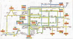
Split Bus Map
68 miles away
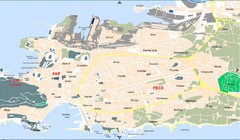
Split Tourist Map
68 miles away
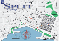
Split Tourist Map
Tourist map of central Split, Croatia.
68 miles away

Hvar Island Map
Nautical map of the island of Hvar. Town of Sucuraj highlighted.
68 miles away
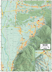
Cycling Paths in Croatia - Medvednica Nature Park...
Bike Paths and Routes for the picturesque western foothills of Medvednica Nature Park. Note: The...
71 miles away
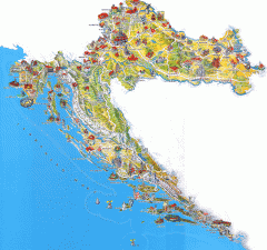
Croatia Tourist Map
Cool illustrated tourist map highlights significant tourist destinations with drawings of buildings...
71 miles away
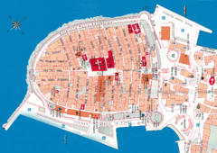
Korcula Tourist Map
Tourist map of old town Korcula, Croatia
71 miles away
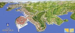
Korcula Tourist Map
Panoramic tourist map of town of Korcula, Croatia and surroundings. From korculainfo.com: "...
72 miles away
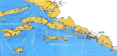
Dubrovnik Region Map
74 miles away
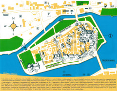
Trogir Croatia Tourist Map
Trogir, Croatia tourist map showing monuments and tourist sites with a legend.
77 miles away
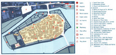
Trogir Tourist Map
Tourist map of old island town Trogir, Croatia. Shows points of interest.
77 miles away
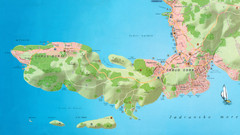
Okrug Donji and Okrug Gornji Tourist Map
Tourist map of Okrug Donji, Croatia and Okrug Gornji, Croatia
77 miles away
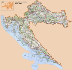
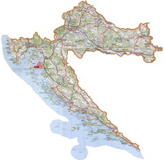
Croatia Road Map
81 miles away
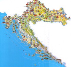
Tourist Map of Croatia
88 miles away

Slavonski Brod Tourist Map
Map of Slavonski Brod, Croatia showing streets, hotels, restaurants and tourist attractions.
88 miles away

