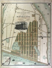
Antique map of Point Pleasant from 1880
Antique map of Point Pleasant, New Jersey from c. 1880.
75 miles away
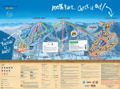
Mountain Creek Ski Trail Map
Official ski trail map of Mountain Creek ski area from the 2007-2008 season. (formerly Vernon...
75 miles away
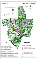
2002 Windham Region Land Use Map
Regional Land Use Guide Map for Planning Purposes
75 miles away
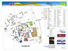
New Brunswick City Map
City map of New Brunswick, New Jersey with tourist information
76 miles away
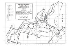
Hedden Park Map
Hedden County Park Trail Map
76 miles away
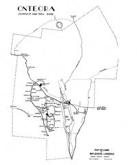
Onteora District Map
Boy Scouts Map of Onteora
76 miles away
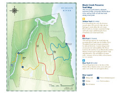
Black Creek Trail Preserve Map
Trail map of Black Creek Preserve on the Hudson River in New York. Shows Yellow Trail, Red Trail...
76 miles away
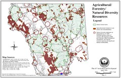
Mansfield Conservation and Development Map
Guide to Agricultural, Forestry and Natural Diversity Resources
77 miles away
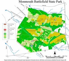
Monmouth Battlefield State Park Map
77 miles away
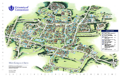
University of Connecticut - Storrs Campus Map
University of Connecticut - Storrs Campus Map. All areas shown.
77 miles away
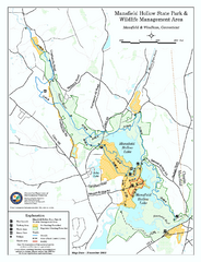
Mansfield Hollow State Park map
Map for Mansfield Hollow State Park and Wildlife Management Area in Connecticut.
77 miles away

Mansfield Cemetery Map
77 miles away
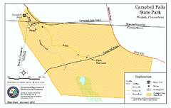
Cambell Falls State Park map
Trail map of Campbell Falls State Park Reserve in Connecticut
78 miles away
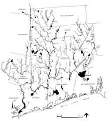
Rhode Island Coastal Watershed Map
Paddling Guide of Pawcatuck River Watershed
78 miles away
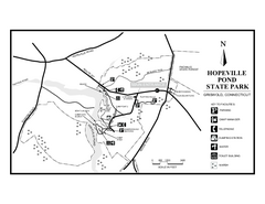
Hopeville Pond State Park trail map
Trail map for Hopevill Pond State Park in Connecticut
79 miles away
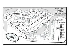
Hopeville Pond campground map
Campground map of Hopeville Pond State Park in Connecticut.
79 miles away
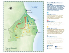
Esopus Meadows Preserve Trail Map
Trail map of Esopus Meadows Preserve park on the Hudson River.
79 miles away
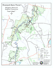
Trail map of Shenipsit State Forest
Trail map of Shenipsit State Forest in Connecticut.
79 miles away
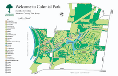
Colonial Park, Somerset, NJ Map
79 miles away
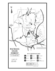
Pachaug State Forest map
Trail map of Pachaug State Forest in Connecticut.
80 miles away
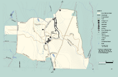
Granville State Forest trail map
Trail map of Granville State Forest in Massachusetts
80 miles away
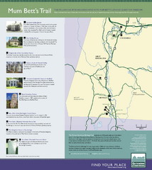
Mum Bett's Trail Map
Historic African American trail guide
82 miles away
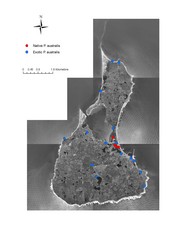
Native and Exotic Phragmites on Block Island Map
83 miles away
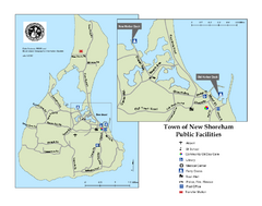
Block Island Road Map
Shows roads and major facilities on Block Island, RI (New Shoreham)
83 miles away
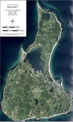
Block Island Aerial Map
Aerial map of Block Island, RI (New Shoreham, RI). True color orthophotography from August 2006.
83 miles away

Six Flags New England Theme Park Map
Official Park Map of Six Flags New England in Massachusetts.
83 miles away
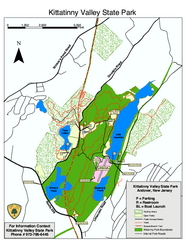
Kittatinny Valley State Park trail map
Trail map of Kittatinny Valley State Park in New Jersey. Shows hunting areas and trails.
84 miles away
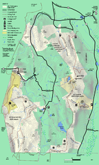
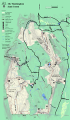
Mt. Washington State Forest trail map
Trail map of Mt. Washington State Forest
84 miles away

Poets Walk Trail Map
Guide to Poet's Walk and Hudson River Overlook
85 miles away
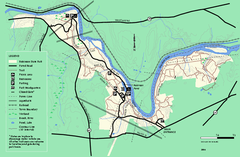
Robinson State Park trail map
Trail map of Robinson State Park in Massachusetts.
85 miles away
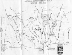
Arcadia Management Area State Map
Trail map for Arcadia Management Area in Rhode Island
86 miles away
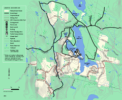
Tolland State Forest summer trail map
Summer use map for Tolland State Forest in Massachusetts.
86 miles away
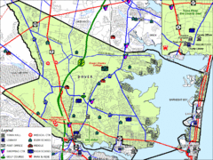
Tom's River, New Jersey City Map
87 miles away
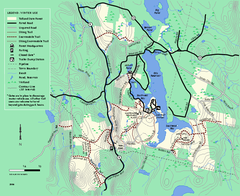
Tolland State Forest winter trail map
Winter usage trail map of the Tolland State Forest area in Massachusetts.
87 miles away
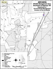
Arcadia Wildlife Management Area Map - Southeast
Reference map shows portion of Arcadia Wildlife Management Area, Rhode Island southeast of Highway...
87 miles away

Six Flags Great Adventure Theme Park Map
Official park map of Six Flags Great Adventure, New Jersey.
87 miles away
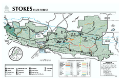
Stokes State Forest map
Trail map of Stokes State Park in New Jersey.
88 miles away
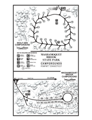
Mashamoquet Brook State Park campground map
Campground map of Mashamoquet Brook State Park in Connecticut.
88 miles away
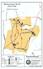
Mashamoquet Brook State Park trail map
Trail map of Mashamoquet Brook State Park in Connecticut.
88 miles away

