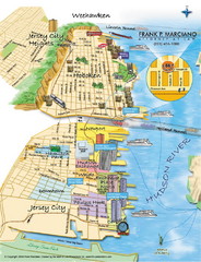
Jersey City, New Jersey City Map
Sketch of Jersey City and Hoboken, New Jersey
50 miles away
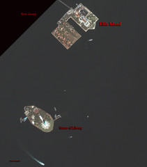
Ellis Island and Statue of Liberty Map
Aerial map of Ellis Island and the Statue of Liberty
50 miles away
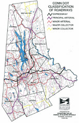
Connecticut Roadway Classification Map
50 miles away
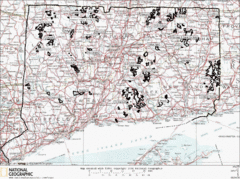
Connecticut State Forests Map
This is a map of all of the state forest boundaries in Connecticut. Follow the source web address...
50 miles away
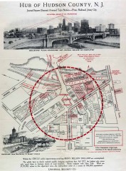
Antique map of Jersey City from 1925
Antique map of Jersey City, New Jersey from 1925.
50 miles away
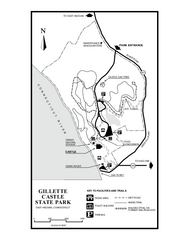
Gillette State Park trail map
Trail map of Gillette Castle State Park in Connecticut.
51 miles away
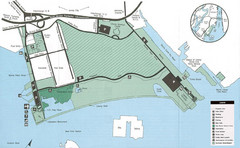
Liberty State Park Map
Map of Liberty State Park, New Jersey on the New York Harbor and next to Ellis Island. Shows...
51 miles away
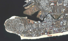
Coney Island Map
Aerial photo Coney Island map
51 miles away
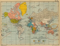
Colonial Posessions and Commercial Highways 1910...
Historical world map (1910) of various colonization and highway expansion
51 miles away
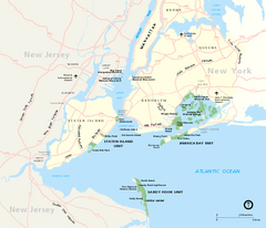
Gateway National Recreation Area Map
Park map of lands in the NPS Gateway National Recreation Area in New York and New Jersey. Shows...
51 miles away
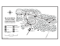
Black Rock Campground map
Map of the Campgrounds in Black Rock State Park.
51 miles away
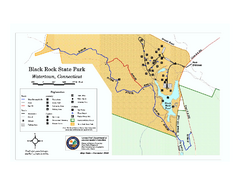
Black Rock State Park trail map
Trail map of Black Rock State Park in Connecticut.
51 miles away
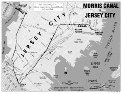
Jersey City Map
52 miles away
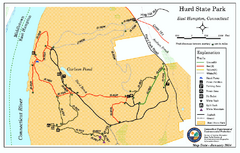
Hurd State Park trail map
Trail map for Hurd State Park in Connecticut.
52 miles away
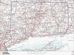
Connecticut State Parks Map
This is statewide map for Connecticut state parks. Go to the source website for detailed hiking...
52 miles away
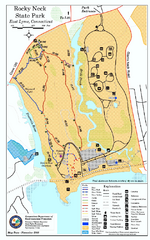
Rocky Neck State Park trail map
Trail map of Rocky Neck State Park in Connecticut.
54 miles away
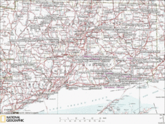
Connecticut Canoeing and Kayaking Lakes Map
A map of the lakes and ponds that are open for canoeing and kayaking in Connecticut. For detailed...
54 miles away
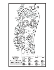
Rocky Neck State Park campground map
Campground map of Rocky Neck State Park in Connecticut.
54 miles away
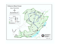
Nehantic State Forest map
Trail map of Nehantic State Forest in Connecticut.
54 miles away

Eastern Long Island Placemat map
Photo of a placemat map from Gosman's Dock Restaurant in Montauk, NY. Shows eastern Long...
55 miles away
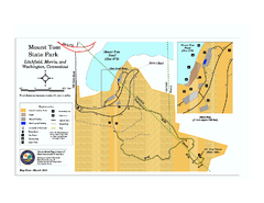
Mount Tom State Park trail map
Trail map of Mt. Tom State Park in Connecticut.
55 miles away
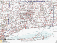
Connecticut Rock Climbing Locations Map
A map of most of the important rock climbing and bouldering areas in Connecticut. Click the link...
55 miles away
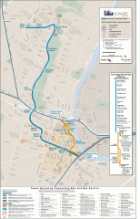
Newark Light Rail system Map
Newark Light rail system
55 miles away
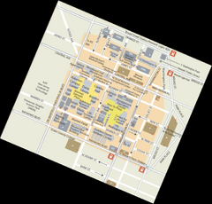
Rutgers University Map
56 miles away
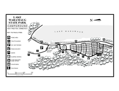
Lake Waramaug State Park campground map
Campground map of Lake Waramaug State Park.
56 miles away
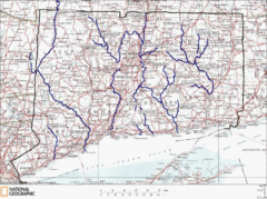
Connecticut Rivers and Coastal Paddling Map
This is a map of paddling areas for rivers and coastal kayaking. Follow the link below for...
57 miles away
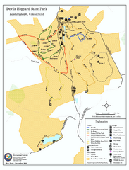
Devils Hophard State Park map
Trail and camprground map for Devils Hopyard State Park in Connecticut.
57 miles away
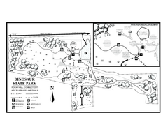
Dinosaur State Park map
Trail map of Dinosaur State Park in Connecticut.
57 miles away
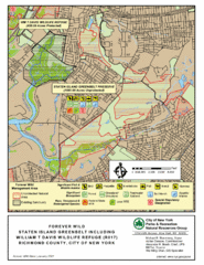
Staten Island Greenbelt Map
57 miles away
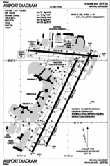
Newark Liberty International Airport Map
57 miles away

Topsmead State Forest map
Trail map for Topsmead State Forest in Connecticut.
57 miles away

Salmon River State Forest trail map
Trail map for Salmon River State Forest in Connecticut.
58 miles away
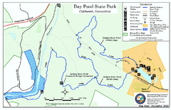
Daypond State Park map
Trail map for Day Pond State Park
58 miles away
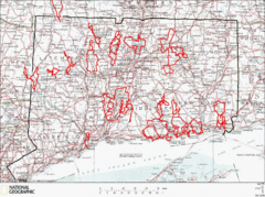
Connecticut Road Cycling Routes Map
A map of road cycling routes throughout Connecticut. Follow the link below for detailed route maps...
58 miles away

Staten Island Subway/Railway Map
58 miles away
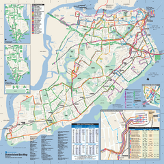
Staten Island Bus Map
Official Bus Map of Staten Island. Shows all routes.
59 miles away
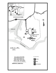
Harkness Memorial State Park map
Trail map of Harkness Memorial State Park in Connecticut.
60 miles away
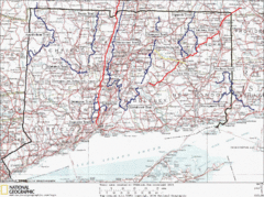
Connecticut Long Distance Trails Map
A map of long distance trails throughout Connecticut. Go to the website below for detailed trail...
60 miles away
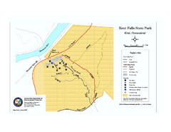
Kent Falls State Park trail map
Trail map of Kent Falls State Park in Connecticut.
61 miles away
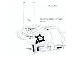
Fort Trumbull State Park map
Map of Fort Trumbull State Park in Connecticut.
61 miles away

