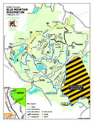
Blue Mountain Reservation Mountain Bike Trail Map
Mountain biking map of the Blue Mountain Reservation from the Westchester Mountain Biking...
48 miles away
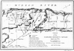
Harlem Hieghts Affair Map
Topography of the field during the battle on Sept 16 1776
48 miles away
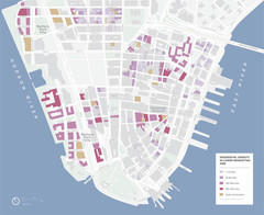
Lower Manhattan Map
48 miles away
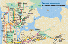
New York City Subway Map
Official MTA map of the NYC subway system... note not drawn to scale.
48 miles away
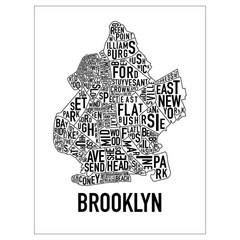
Brooklyn Neighborhood Art Map
Artistic neighborhood map of Brooklyn
48 miles away
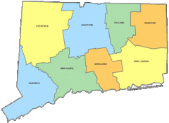
Connecticut Counties Map
48 miles away
Connecticut Zip Code Map
Check out this Zip code map and every other state and county zip code map zipcodeguy.com.
48 miles away
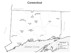
Conneticut Airports Map
48 miles away

Downtown Manhattan Tourist Map
Detailed tourist map of Downtown Manhattan showing points of interest and modes of transportation
48 miles away
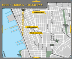
Chinatown New York City Hotel Map
48 miles away

Manhattan Bus Map
48 miles away
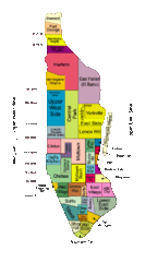
New York Neighborhoods Map
48 miles away
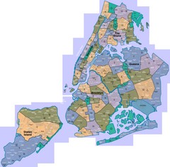
New York: A City of Neighborhoods Map
This is a map of NYC's Community Districts and neighborhoods. This map is pasted together from...
48 miles away

Sanitary & Topographical Map of the City and...
The 1865 Viele Map of Manhattan is still used today to locate springs and streams that have long...
48 miles away
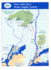
New York City's Water Supply System Map
Map of the reservoirs, aqueducts, and tunnels that supply water to NYC.
48 miles away
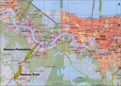
New Orleans Tourist Map
48 miles away
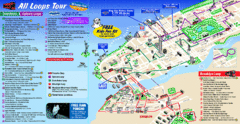
New York City Bus Tour Map
48 miles away
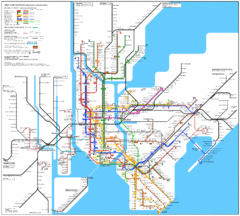
New York City Subway Map
48 miles away
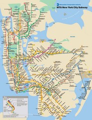
New York City Public Transportation Map
48 miles away
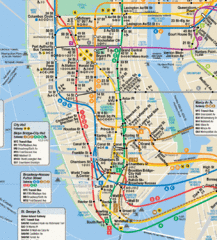
New York City Subway Map
48 miles away
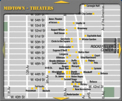
Broadway Theatre New York City Map
48 miles away
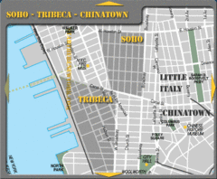
Chinatown New York City Tourist Map
48 miles away
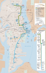
Hudson-Bergen Lightrail Map
Alternative transportation within the city.
48 miles away
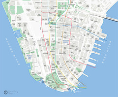
Lower Manhattan Map
48 miles away
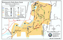
Wadsworth Falls State Park map
Trail map of Wadsworth Falls State Park in Connecticut.
48 miles away
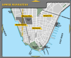
Lower Manhattan New York City Hotel Map
48 miles away
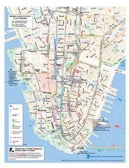
Lower Manhattan Public Transportation Map
Official MTA map of subway, bus, and ferry routes in Lower Manhattan.
48 miles away

Battery Park City Map
48 miles away
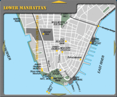
Lowe Manhattan New York City Tourist Map
48 miles away
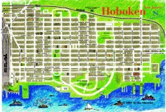
Hoboken Walking Tour map
Walking tour map of Hoboken, NJ. Shows points of interest.
49 miles away
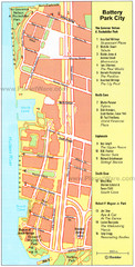
Battery Park City Map
City map of Battery Park City, an area of Manhattan, with art highlighted
49 miles away
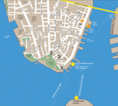
Lower Manhattan Area Map
49 miles away

NYC Biking Route Map (Part of Queens, Brookyln...
Official biking route map of part of Queens, Brookyln and Staten Island
49 miles away

Cockaponset State Forest North Section trail map
Trail map for the north section of Cockaponset State Forest in Connecticut
49 miles away
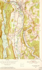
New Milford, Connecticut Map
New Milford, Connecticut topo map with roads, streets and buildings identified
49 miles away
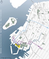
IKEA Brooklyn Map
Location map and map of bus routes and access streets to IKEA in Brooklyn, NY.
49 miles away
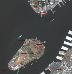
Governor's Island Map
Aerial photo view map of Governor's Island, New York
49 miles away
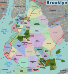
Brooklyn, Neighborhoods Map
49 miles away
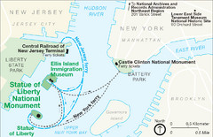
Statue of Liberty National Monument Map
Official NPS map of Statue of Liberty National Monument. Shows Statue of Liberty, Ellis Island, and...
50 miles away
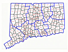
Connecticut Town Map
50 miles away

