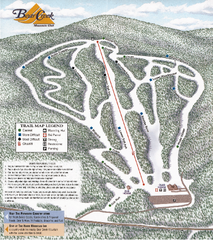
Bear Creek Mountain Club Ski Trail map
Official ski trail map of Bear Creek Mountain ski area.
182 miles away
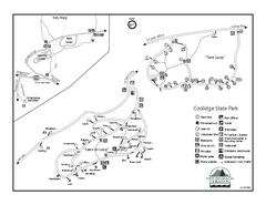
Coolidge State Park Campground Map
Campground map of Coolidge State Park in Vermont
183 miles away
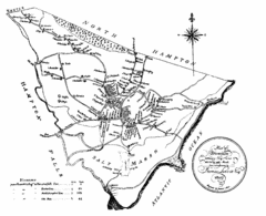
Hampton NH Map 1806
1806 map of Hampton, NH. Shows roads and settlements.
183 miles away

Susquehannock State Park map
Detailed recreation map for Susquehannock State Park in Pennsylvania
183 miles away
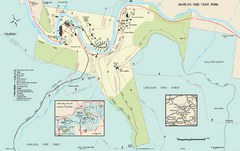
Worlds End State Park map
Detailed recreation map for Worlds End State Park in Pennsylvania
183 miles away
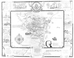
Hampton, New Hampshire Historical Map
Historical map of Hampton, New Hampshire. Illustrated map includes roads and historical buildings.
183 miles away
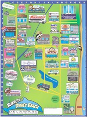
Rehoboth Beach Delaware Cartoon Map
184 miles away
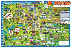
Milford Delaware Cartoon Map
185 miles away
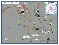
Killens Pond State Park Map
Map of Delaware State Park.
185 miles away
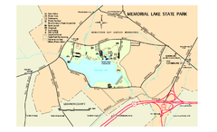
Memorial Lake State Park map
Detailed map of Memorial Lake State Park in Pennsylvania
185 miles away
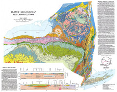
New York State Geologic Map
1:1,000,000 scale geological map of New York State
186 miles away
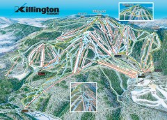
Killington Ski Trail Map
Official ski trail map of Killington ski area.
187 miles away
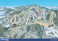
Killington Ski Trail Map 2008
Ski trail map of Killington ski area as of 2008
188 miles away
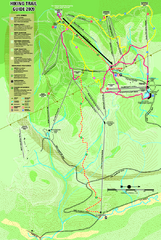
Killington Hiking Trail Map
Hiking trail map of Killington Ski Area summer trails. Shows life zones and geologic features.
188 miles away
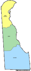
Delaware Counties Map
188 miles away
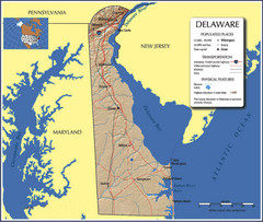
Delaware Tourist Map
188 miles away
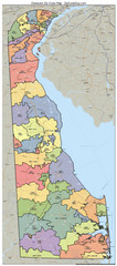
Delaware Zip Code Map
Check out this Zip code map and every other state and county zip code map zipcodeguy.com.
188 miles away
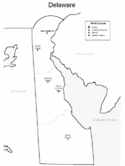
Delaware Airports Map
188 miles away
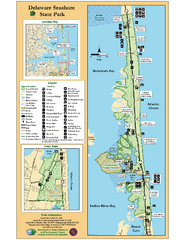
Deleware Seashore State Park Map
Park with perfect views and hiking routes.
188 miles away

1978 Bradford County, Pennsylvania Map
189 miles away

Killington Ski Trail Map
Guide to Killington area ski trails
189 miles away
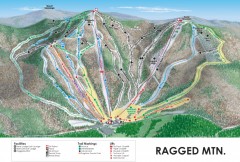
Ragged Mountain Ski trail Map
Official ski trail map of Ragged Mountain ski area from the 2007-2008 season.
189 miles away
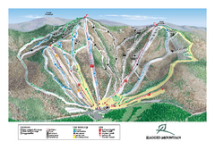
Ragged Mountain Ski Trail Map
Trail map from Ragged Mountain.
189 miles away
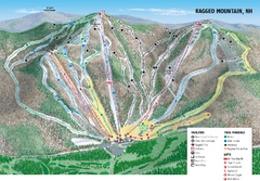
Ragged Mountain Ski Trail Map
Trail map from Ragged Mountain.
189 miles away
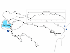
Mt. Tom road to the Pogue race course map
View Course Map and Elevations for the Mt. Tom road to the Pogue 6.1 mile run in Woodstock, VT.
190 miles away
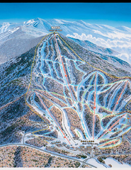
Pico Mountain Ski Trail Map
Trail map from Pico Mountain.
190 miles away
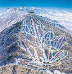
Pico Mountain Ski Trail Map
Ski trail map of Pico ski area, estimated 2002 map
190 miles away
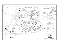
Bomoseen State Park map
Campground map of Bomoseen State Park in Vermont
190 miles away

Hershey Park Official Map
Official 2007 map of the Hershey Theme Park in Hershey, PA
190 miles away
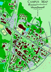
University of New Hampshire Campus Map
University of New Hampshire Campus Map
191 miles away
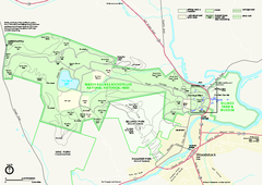
Marsh-Billings-Rockefeller National Historical...
Official NPS map of Marsh-Billings-Rockefeller National Historical Park in Vermont. Shows all areas...
191 miles away
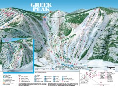
Greek Peak Ski Trail Map
Official ski trail map of Greek Peak ski area from the 2006-2007 season.
191 miles away

Greek Peak Ski Resort Ski Trail Map
Trail map from Greek Peak Ski Resort.
191 miles away
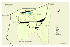
Samuel S. Lewis State Park map
Recreation map for Samuel Lewis State Park in Pennsylvania
191 miles away
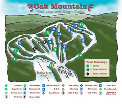
Oak Mountain Ski Center Ski Trail Map
Trail map from Oak Mountain Ski Center.
191 miles away
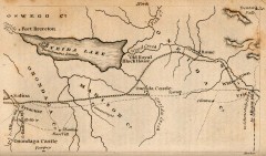
Antique map of Utica, NY from 1830
Map of Utica, NY from The Northern Traveller, and Northern Tour; with the Routes to The Springs...
191 miles away
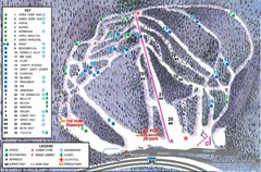
Whaleback Ski Trail Map
A Trail Map of Whaleback Ski Area
192 miles away
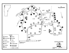
Quechee State Park map
Campground map for Quechee Gorge State Park in Vermont
192 miles away
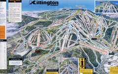
Killington Trail Map
Ski trail map
192 miles away
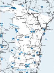
Windsor County Map
192 miles away

