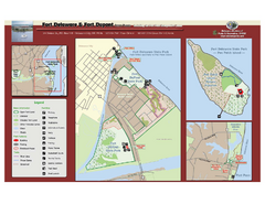
Fort Delaware State Park Map
Nice park on a beautiful island.
158 miles away
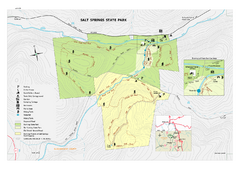
Salt Springs State Park map
Detailed recreation map of Salt Spring State Park in Pennsylvania.
158 miles away
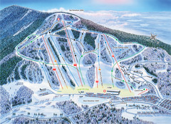
Crotched Mountain Ski Trail Map
Trail map from Crotched Mountain.
158 miles away
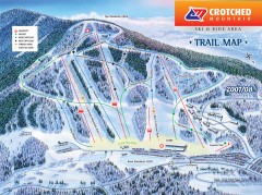
Crotched Mountain Ski Trail Map
Official ski trail map of Crotched Mountain ski area from the 2007-2008 season.
158 miles away
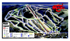
Magic Mountain Ski Trail map
Official ski trail map of Magic Mountain ski area from the 2006-2007 season.
159 miles away
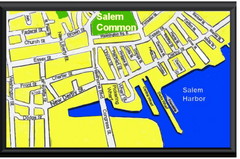
Salem, Massachusetts Guide Map
159 miles away
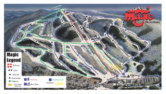
Magic Mountain Ski Trail Map
Trail map from Magic Mountain.
159 miles away
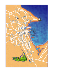
Nantucket Town Street Map
Tourist map of town of Nantucket on Nantucket Island. Shows major streets and points of interest...
160 miles away
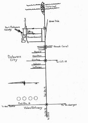
Delaware City Map
City map of Delaware City with Fort Delaware Society highlighted
160 miles away
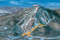
Bromley Mountain Ski Area map 2006-07
Simple ski trail map of Bromley Mountain Ski Area for the 2006-2007 season.
160 miles away
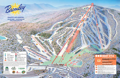
Bromley Mountain Ski Trail Map
Trail map from Bromley Mountain.
160 miles away
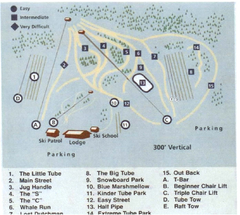
Blue Marsh Ski Area Ski Trail Map
Trail map from Blue Marsh.
161 miles away
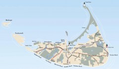
Tourist Map of Nantucket Island
Tourist map of Nantucket Island. Shows all towns and information.
161 miles away
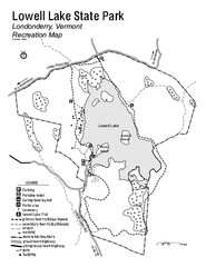
Lowell Lake State Park map
Campground map for Lowell Lake State Park in Vermont
161 miles away
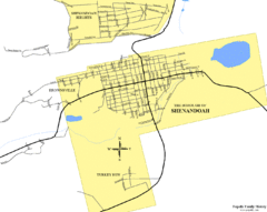
Shenandoah, Pennsylvania Map
161 miles away

White Clay Creek Preserve map
White Clay Creek Preserve State Park recreation and trail map
161 miles away
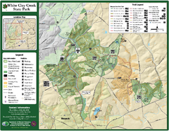
White Clay Creek State Park Map
Clear map and legend of this beautiful state park.
162 miles away
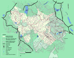
Boxford State Park trail map
Trail map of Boxford State Forest in Massachusetts
162 miles away
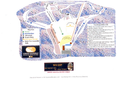
Arrowhead Arrowhead Ski Trail Map
Trail map from Arrowhead.
162 miles away
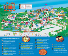
Canobie Lake Park Map
162 miles away

University of Delaware Map
University of Delaware Campus Map. All buildings shown.
163 miles away
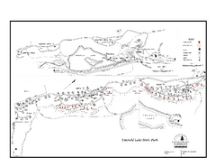
Emerald Lake State Park Campground Map
Campground map of Emerald Lake State Park in Vermont
164 miles away
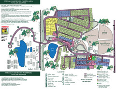
Emerald Lake State Park Map
164 miles away

Camp Morgan Trail Map
165 miles away
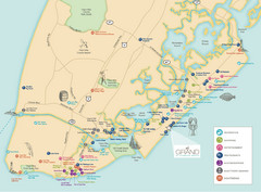
Diamond Beach Tourist Map
165 miles away
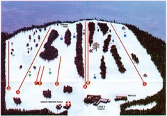
Ski Bradford Ski Trail Map
Trail map from Ski Bradford.
166 miles away
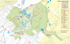
Ricketts Glen State Park map
Detailed recreation map of Ricketts Glen State Park in Pennsylvania
166 miles away
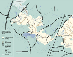
Willowdale State Forest map of Hood Pond
Trail map of the Hood Pond area of the Willowdale State Park in Massachusetts.
166 miles away
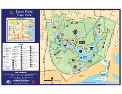
Lums Pond State Park Map
Clear legend and map of this wonderful state park.
166 miles away
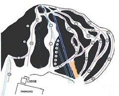
Royal Mountain Ski Trail Map
Trail map from Royal Mountain.
166 miles away
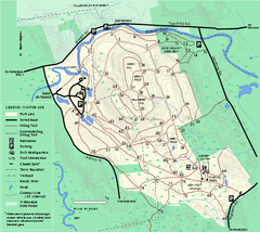
Bradley Palmer State Park winter map
Winter trail map of Bradley Palmer State Park.
166 miles away
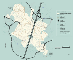
Georgetown-Rowley State Forest summer use map
Summer use map for Georgetown-Rowley State Forest.
166 miles away
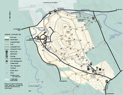
Bradley Palmer State Park summer map
Summer use map of Bradley Palmer State Park in Massachusetts
166 miles away
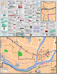
Binghampton Bus Route Map
166 miles away
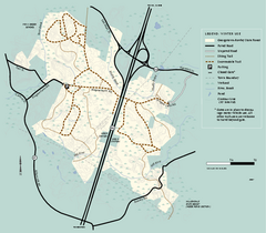
Georgetown-Rowley State Forest winter use map
Winter use map for the Georgetown-Rowley State Forest in Massachusetts.
166 miles away
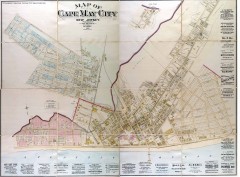
Antique map of Cape May from 1886
Antique map of Cape May, New Jersey from 1886.
167 miles away
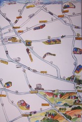
Handrawn Lancaster County Map
Guide to Amish country in Pennsylvania
167 miles away
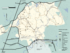
Willowdale State Forest map of Pine Swamp
Trail map of the Pine Swamp area of Willowdale State Park in Massachusetts.
167 miles away
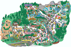
Six Flags Great Escape Theme Park Map
Official Park map of Six Flags Great Escape Theme Park in Lake George, NY.
167 miles away
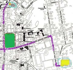
Manchester, New Hampshire City Map
167 miles away

