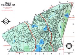
Winchester Town Map
147 miles away
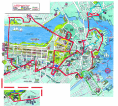
Boston Beantown Trolley Route Map
Route Map for the Boston Beantown trolley. Shows the trolley route, all stops, and a colorful...
147 miles away
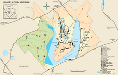
Frances Slocum State Park map
Detailed map of Frances Slocum State Park in Pennsylvania.
147 miles away
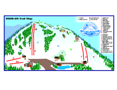
Willard Mountain Ski Area Ski Trail Map
Trail map from Willard Mountain Ski Area.
147 miles away
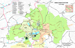
French Creek State Park map
Detailed recreation map for French Creek State Park in Pennsylvania
147 miles away
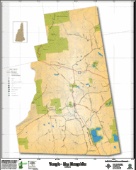
Temple NH Topo Map
Topographical map of Temple, NH area. Shows all roads and points of interest.
147 miles away
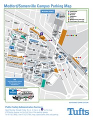
Medford Campus Map
Clear map indicating buildings and parking areas.
147 miles away
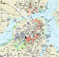
Boston National Historical Park Official Park Map
Official NPS map of Boston National Historical Park in Boston, Massachusetts. From park brochure...
147 miles away
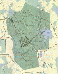
Wompatuck Park Trail Map
Map of Wompatuck Park including trails and roads and park features
148 miles away
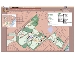
Bellevue State Park Map
Beautiful park with easy to read details.
148 miles away
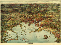
Walker's Map of Boston Harbor and Environs...
Walker's map of Boston Harbor and immediate environs from 1905.
148 miles away
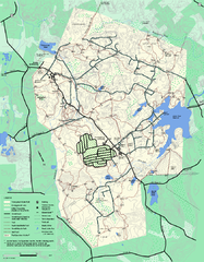
Wompatuck State Park trail map
Trail map of Wompatick State Park in Massachusetts.
148 miles away
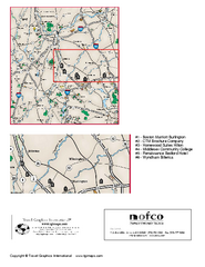
Greater Merrimack Valley, Massachusetts Map
Tourist map of greater Merrimack Valley, Massachusetts. Lodging, forests, and other points of...
148 miles away
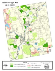
Peterborough Open Space Map
Map of open space lands in Peterborough, New Hampshire
148 miles away
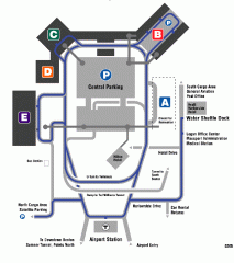
Boston/General Edward Lawrence Logan...
Terminal map of Boston/General Edward Lawrence Logan International Airport. Shows all areas.
148 miles away
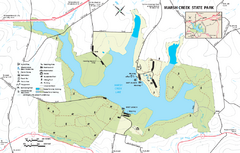
Marsh Creek State Park map
Detailed map of Marsh Creek State Park in Pennsylvania.
149 miles away
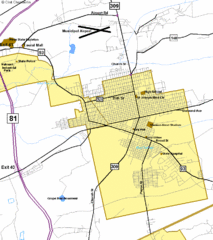
Hazelton Street Map
Clear and descriptive road map.
149 miles away
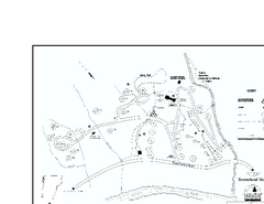
Townshend State Park Campground Map
Campground map of Townshend State Park in Vermont
149 miles away
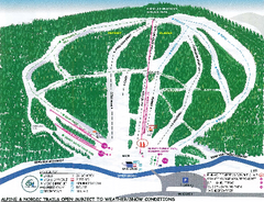
Granite Gorge Ski Trail Map
Trail map from Granite Gorge. This ski area opened in 2005.
149 miles away
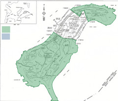
Thompson Island Easement Map
Map of Thompson Island easement. Includes roads, buildings, trails and attractions as well as the...
149 miles away
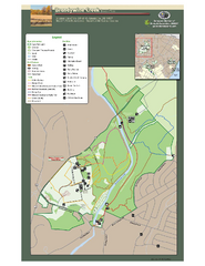
Brandywine Creek State Park Map
Easy to read map and legend of this beautiful state park.
150 miles away
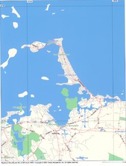
Hull Town Map
150 miles away
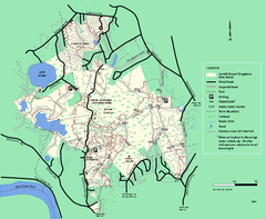
Lowell-Dracut-Tyngsboro State Forest trail map
Trail map for the Lowell-Dracut-Tyngsboro State Forest in Massachusetts
151 miles away
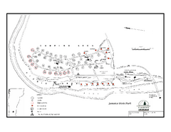
Jamaica State Park Campground Map
Campground map of Jamaica State Park in Vermont
151 miles away

Tuscarora State Park Map
Detailed recreation map for Tuscarora State Park in Pennsylvania
152 miles away
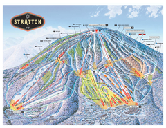
Stratton Mountain ski area trail map 2006-07
Official ski trail map of Stratton Mountain ski area from the 2006-2007 season.
152 miles away
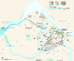
Lowell National Historical Park Official Map
Official NPS map of Lowell National Historical Park in Lowell, Massachusetts. Map shows all of...
152 miles away
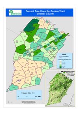
Chester County Tree Cover Map
Poster map of tree cover in Chester County, Pennsylvania
152 miles away
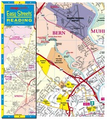
Reading, Pennsylvania City Map
152 miles away
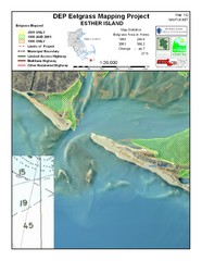
Esther Island Map
DEP Eelgrass map of Esther Island, Nantucket
153 miles away
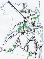
Nashua Parks Map
Map of Nashua, New Hampshire parks
154 miles away
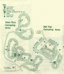
Gilbert Lake State Park Camping Map
155 miles away
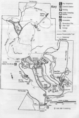
Gilbert Lake State Park Map
155 miles away
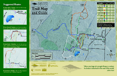
Equinox Preservation Trail map
Trail map of the Equinox Preservation Trust in Manchester, VT. The Equinox Preservation is over...
156 miles away
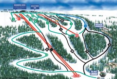
Eagle Rock Ski Trail Map
Official ski trail map of Eagle Rock Resort ski area from the 2007-2008 season.
156 miles away
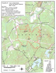
Merrimack Topo Map
A Topographical map Horse Hill Nature Preserve.
156 miles away
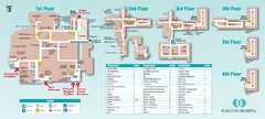
Cape Cod Hospital Map
Campus map of Cape Cod Hospital
157 miles away

Cape Cod Hospital Map
Map of external vicinity of Cape Cod Hospital
157 miles away

Locust Lake State Park map
Detailed map of Locust Lake State Park in Pennsylvania
158 miles away
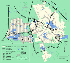
Harold Parker State Forest trail map
Trail map of Harold Parker State Forest in Massachusetts
158 miles away

