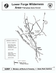
Lower Forge camp area map
Camp area map for the Lower Forge area in Wharton State Forest in New Jersey
116 miles away
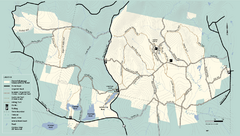
Kenneth Dubuque Memorial State Park trail map
Trail map of the Kenneth Dubuque state park conservation area in Massachusetts.
116 miles away

Atsion Campground Map
Campground map for Atsion Campsites in Wharton State Forest in NJ
117 miles away

Big Pocono State Park map
Detailed map for Big Pocono State Park in Pennsylvania.
117 miles away
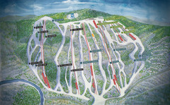
Jack Frost Ski Area Ski Trail Map
Trail map from Jack Frost Ski Area.
117 miles away
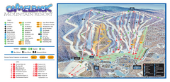
Camelback Ski Trail Map
Ski trail map of Camelback ski area
117 miles away

Goshen Pond camp area map
Camp area map for Goshen Pond in Wharton State Forest in New Jersey.
117 miles away
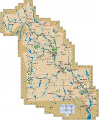
Blackstone Valley tourist map
Tourist map of the Blackston Valley in Rhode Island and Massachusetts. Shows hiking, biking, and...
118 miles away
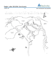
Eagle Lake Conservation Area Map
118 miles away
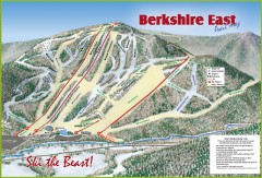
Berkshire East Ski Trail Map
Official ski trail map of Berkshire East ski area from the 2007-2008 season.
119 miles away
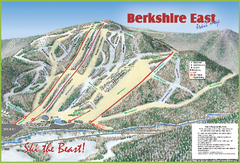
Berkshire East Ski Area Ski Trail Map
Trail map from Berkshire East Ski Area.
119 miles away
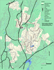
Upton State Forest trail map
Trail map for Upton State Forest in Massachusetts.
119 miles away
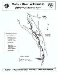
Mullica River camp area map
Camp area map for the Mullica River camp area in Wharton State Forest, New Jersey.
119 miles away
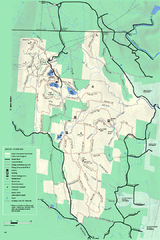
Savoy Mountain winter map
Winter use map of Savoy Mountain in Massachusetts.
119 miles away
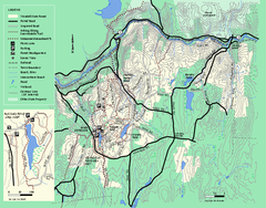
Wendell State Forest trail map
Trail map of Wendell State Forest in Massachusetts.
119 miles away
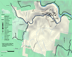
Mohawk Trail State Forest map
Map of the Mohawk Trail State Forest in Charlemont, Massachusetts.
119 miles away
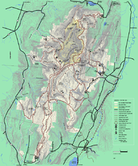
Mt. Greylock State Reservation winter trail map
Winter use trail map of Mt. Greylock State Park in Massachusetts.
119 miles away
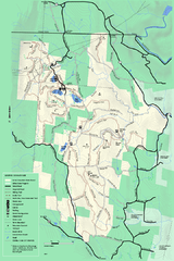
Savoy Mountail trail map
Trail map for Savoy Mountain in Massachusetts.
120 miles away
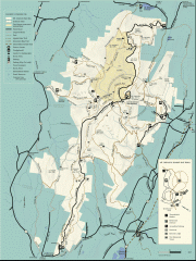
Mt. Greylock State Reservation map
Official summer map of the Mount Greylock State Reservation. At 3,491 feet, Mount Greylock is the...
120 miles away
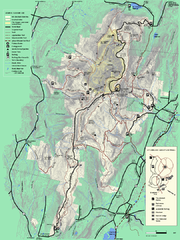
Mt. Greylock State Reservation summer trail map
Summer trail map of the Mt. Greylock State Park area in Massachusetts.
120 miles away
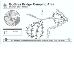
Godfrey Bridge Campground Map
Map of Godfrey Bridge Campground in Wharton State Forest, New Jersey.
120 miles away
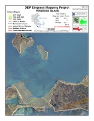
Penekese Island Eelgrass Map
121 miles away
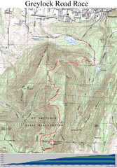
Mt. Greylock Road Race Course Map
Course map of the annual Mount Greylock Road Race. 8 Miles (uphill). Start/Finish: Mt. Williams...
121 miles away
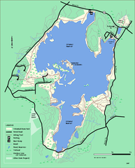
Whitehall State Park trail map
Trail map of Whitehall State Park in Massachusetts.
121 miles away
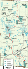
Midstate Trail Map
Map of the Midstate Trail, which runs from Ashburnham to the Rhode Island border. Shows state...
121 miles away
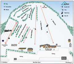
Ski Ward Ski Trail Map
Trail map from Ski Ward.
122 miles away
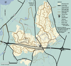
Wrentham State Forest trail map
Trail map of Wrentham State Forest in Massachusetts.
122 miles away
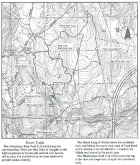
Trout Brook Conservation Area Map
122 miles away

Fort Washington State Park map
Map of Fort Washington State Park in Pennsylvania.
123 miles away
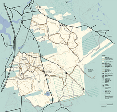
Freetown-Fall River State Forest trail map
Trail map of Freetown-Fall River State Forest in Massachusetts
123 miles away
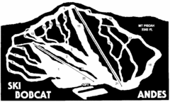
Bobcat Ski Center Ski Trail Map
Trail map from Bobcat Ski Center.
123 miles away
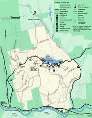
Erving Summer trail map
Summer use map of Erving State Park in Massachusetts.
124 miles away
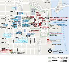
New Bedford Whaling National Historical Park...
Official NPS map of New Bedford Whaling National Historical Park in Massachusetts. Map shows all...
124 miles away
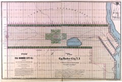
Antique map of Egg Harbor City from 1857
Antique map of Egg Harbor City, New Jersey from 1857.
124 miles away
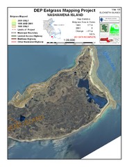
Nashawena Island Eelgrass Map
124 miles away
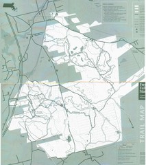
Freetown State Forest Map
Freetown State Forest Map showing mountain biking trails
124 miles away
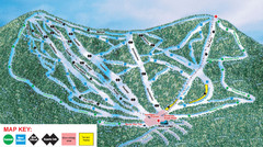
Ski Plattekill Ski Trail Map
Trail map from Ski Plattekill.
124 miles away
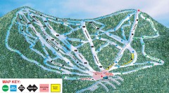
Plattekill Ski Trail Map
Official ski trail map of Plattekill ski area from the 2007-2008 season.
124 miles away
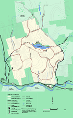
Erving State Park winter use map
Winter use map of the Erving State Park in Massachusetts
124 miles away
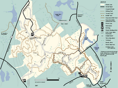
F. Gilbert Hills State Forest trail map
F. Gilbert Hills State Forest trail map in Massachusetts.
124 miles away

