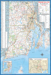
Rhode Island Road Map
Official Rhode Island state highway map. Insets show Newport and Providence.
100 miles away
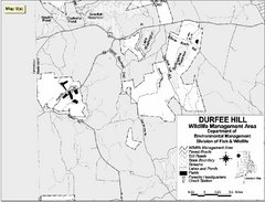
Durfee Hill Wildlife Management Area Map
100 miles away
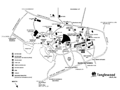
Tanglewood Map
Detailed map of the Tanglewood grounds that includes the location of the Box Office, Friends Office...
100 miles away
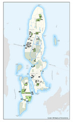
Conanicut Island Land Trust Map
Shows 430 acres of property on Conanicut Island, RI stewarded by the Conanicut Island Land Trust
100 miles away
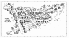
Lenox Village Map
Hand-drawn village map of historic center of Lenox, Massachusetts
100 miles away
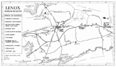
Lenox Town Map
Hand-drawn town map of Lenox, Mass. Bordered by Lenox Mountain and October Mountain. Shows points...
101 miles away
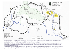
Sprague Farm - Glocester Land Trust Map
101 miles away
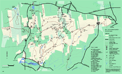
Mount Holyoke Range State Park Map
Trail map of Holyoke Range State Park.
101 miles away
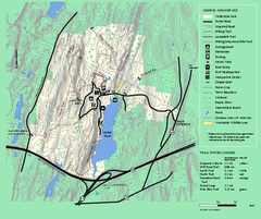
Wells State Park trail map
Trail map of Wells State Park in Massachusetts.
101 miles away
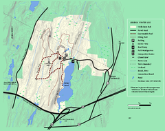
Wells State Park winter trail map
Winter use trail map of Wells State Park in Massachusetts.
101 miles away
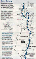
Deleware River Boat Map
101 miles away
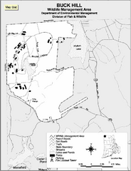
Buck Hill Wildlife Management Area Map
102 miles away
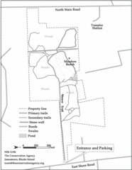
Parker Farm Trail Map
102 miles away

New Jersey Tourist Map
Hand drawn tourist map of state of New Jersey, 1955.
102 miles away
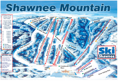
Shawnee Mountain Ski Trail Map
Trail map from Shawnee Mountain.
102 miles away
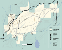
Windsor State Forest trail map
Trail map of Windsor State Forest in Massachusetts.
103 miles away
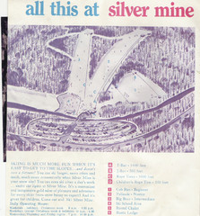
Silver Mine Credit to chris lundquist Ski Trail...
Trail map from Silver Mine, which provides downhill skiing.
103 miles away
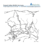
Pleasant Valley Wildlife Sanctuary Trail Map
Trail map of Pleasant Valley Wildlife Sanctuary
103 miles away

Mine Brook Wildlife Management Area Map
104 miles away
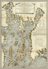
Narrangansett Bay Map 1777
"A Topographical CHART of the BAY of NARRAGANSET in the Province of NEW ENGLAND. with the...
104 miles away
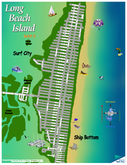
Ship Bottom, New Jersey Map
104 miles away
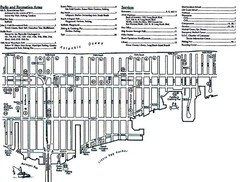
Ship Bottom, NJ Map
104 miles away
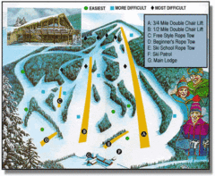
Bousquet Ski Area Ski Trail Map
Trail map from Bousquet Ski Area.
104 miles away
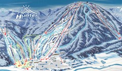
Hunter Mountain Trail Map
Ski trail map
104 miles away
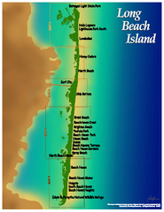
Long Beach Island, New Jersey Map
104 miles away
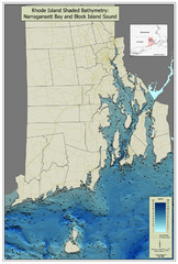
Rhode Island Shaded Bathymetry Map
Bathymetric map of Rhode Island with Narrangansett Bay and Rhode Island Sound. Graduated...
105 miles away
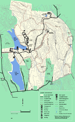
DAR State Forest summer map
Summer use map of the Daughters of the American Revolution state forest.
105 miles away
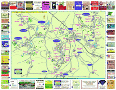
Columbia County - Austerlitz, Canaan, Chatham...
Tourist map of Columbia County including towns of Austerlitz, Canaan, Chatham, East Chatham Ghent...
105 miles away
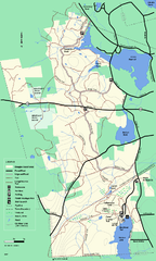
Douglas State Forest trail map
Trail map of the Douglas State Forest in Massachusetts
105 miles away
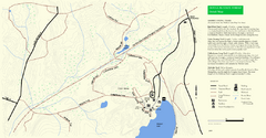
Douglas State Park Detail Map
106 miles away
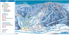
Hunter Mountain ski trail map
Official ski trail map of Hunter Mountain ski area from the 2006-2007 season.
106 miles away
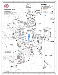
University of Massachusetts - Amherst Map
Campus Map of the University of Massachusetts - Amherst. All buildings shown.
106 miles away
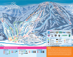
Hunter Mountain Ski Bowl Ski Trail Map
Trail map from Hunter Mountain Ski Bowl.
106 miles away
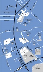
Downtown Amherst, Massachusetts Map
Tourist map of downtown Amherst, Massachusetts, showing attractions, government buildings, atms...
106 miles away
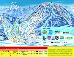
Hunter Mountain Trail Map
106 miles away
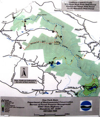
Northern Catskill Trail Map
Trail map shows hiking trails in the northern Catskills of New York. Shows trails in Windham High...
106 miles away
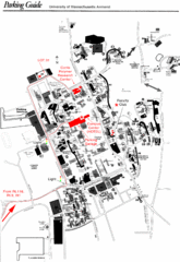
University of Massachusetts Amherst Parking Map
Map of the University of Massachusetts. Includes all buildings, streets, and parking information.
106 miles away
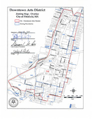
Pittsfield,, Massachusetts City Map
107 miles away

