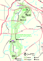
Kennesaw Mountain National Battlefield Park...
Official NPS map of Kennesaw Mountain National Battlefield Park in Georgia. We are a day use only...
149 miles away
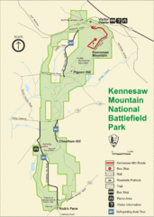
Kennesaw Moutain National Battlefield Park Map
149 miles away
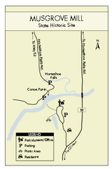
Musgrove Mill State Park Map
Clearly marked state park map.
150 miles away
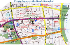
Bund Shanghai Tourist Map
150 miles away
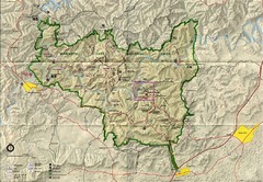
Mammoth Cave National Park Map
Visitor Center Area Map and Park Map. Topographical map that shows parameters of the park as well...
151 miles away
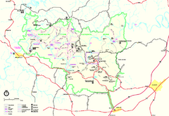
Mammoth Cave National Park Official Park Map
Official NPS map of Mammoth Cave National Park in Kentucky. Most of the park's resources and...
151 miles away
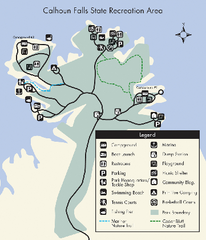
Calhoun Falls State Park Map
Clear map and detailed legend help make this map easy to read and follow.
151 miles away
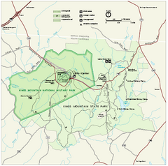
Kings Mountain National Military Park Official Map
Official NPS map of Kings Mountain National Military Park in South Carolina. Open Daily 9:00 a.m...
152 miles away
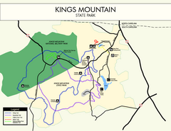
Kings Mountain State Park Map
Clearly marked state park map.
154 miles away
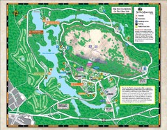
Stone Mountain State Park Map
154 miles away
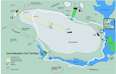
Stone Mountain Park Trail map
Trail map of Stone Mountain Park near Atlanta, GA
154 miles away
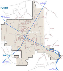
Rainsville Street Map
Chamber of Commerce Business Guide
154 miles away
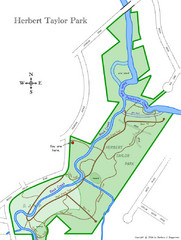
Herbert Taylor Park Map
156 miles away
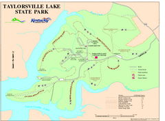
Taylorsville Lake State Park Map
Map of trails and facilities in Taylorsville Lake State Park.
157 miles away
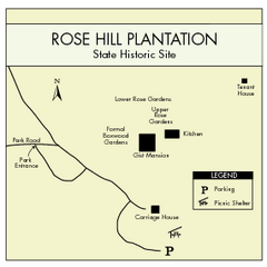
Rose Hill Plantation Map
Clear and simple state park map.
157 miles away
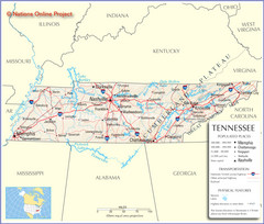
Tennessee Tourist Map
157 miles away
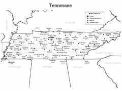
Tennessee Airports Map
157 miles away
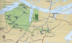
Civil War Era Tennessee State Battle Map
157 miles away
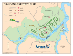
Grayson Lake State Park Map
Map of trails, facilities and golf course in Grayson Lake State Park.
157 miles away
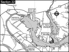
Old Hickory Lake-Cumberland River Map
Section 22 from the Cumberland River Guidebook shows the dam that forms Old Hickory Lake near...
158 miles away
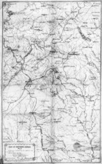
1864 Georgia Map
Used by General Sherman to guide his troops in the Civil War
158 miles away
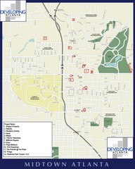
Midtown Atlanta Map
158 miles away
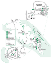
Bobby Brown State Park Map
Map of park with detail of trails and recreation zones
158 miles away

Little River Canyon Tourist Map
Little River Canyon, Alabama
158 miles away
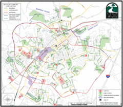
Bowling Green Biking Map
Map of biking trails in the city of Bowling Green area. Includes all streets, parks, some buildings...
159 miles away
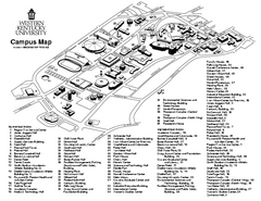
Western Kentucky University Map
Western Kentucky University Campus Map. All buildings shown
159 miles away
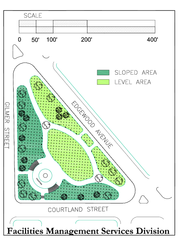
Hurt Park Map
160 miles away
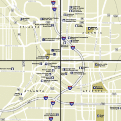
Atlanta, Georgia City Map
160 miles away
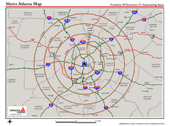
Atlanta Metro Proximity Ring Map
Shows proximity of downtown Atlanta, Georgia to surrounding areas
160 miles away
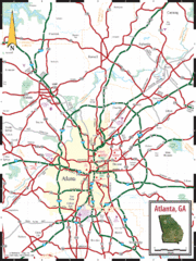
Atlanta, GA Tourist Map
160 miles away
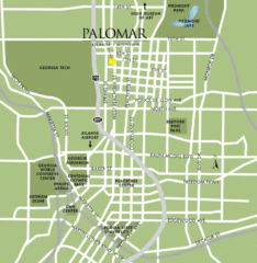
Atlanta Tourist Map
160 miles away
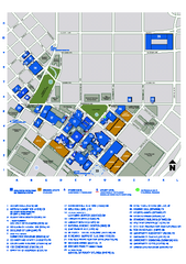
Georgia State University Map
Georgia State University Campus Map. All buildings shown.
160 miles away
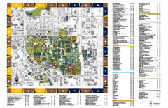
Georgia Institute of Technology Map
Georgia Institute of Technology Campus Map. All buildings shown.
160 miles away
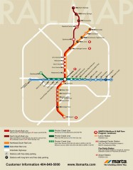
Atlanta MARTA rail map
Official rail map of the Metropolitan Atlanta Rapid Transit Authority.
160 miles away
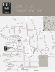
Two Buckhead Plaza/Surrounding Area Map
160 miles away
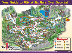
Six Flags Over Georgia Theme Park Map
Official Park map of Six Flags Over Georgia in Atlanta.
161 miles away
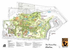
Nashville Zoo Map
162 miles away
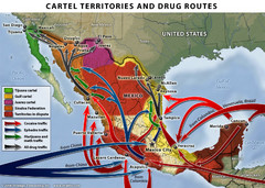
Mexican Drug Cartel Territories and Routes Map
162 miles away
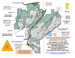
Davidson-Arabia Mountain Nature Preserve Map
Davidson-Arabia Mountain Nature Preserve is comprised of 570 acres of granite outcrop, wetlands...
163 miles away

