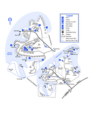
Hart State Park Map
Map of park with detail of trails and recreation zones
125 miles away
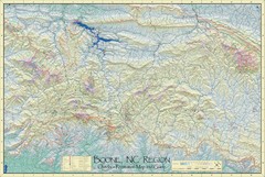
Boone, NC Outdoor Recreation Map
Guide to Boone, NC region
127 miles away
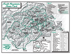
South Mountains State Park map
Detailed recrational map for South Mountain State Park in North Carolina
127 miles away
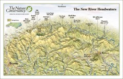
New River Headwaters Panorama Map
This panoramic map of the New River Headwaters area in North Carolina highlights TNC conservation...
128 miles away
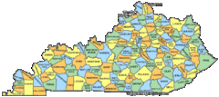
Kentucky Counties Map
128 miles away
Kentucky Zip Code Map
Check out this Zip code map and every other state and county zip code map zipcodeguy.com.
128 miles away
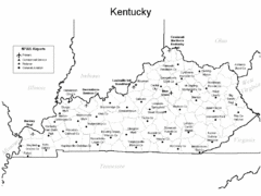
Kentucky Airports Map
128 miles away
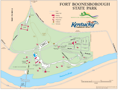
Fort Boonesborough State Park Map
Map of trails, historical sites and facilities at Fort Boonesborough State Park.
130 miles away
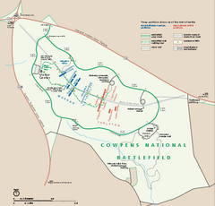
Cowpens National Battlefield Official Map
Official NPS map of Cowpens National Battlefield in South Carolina. Open 9:00 a.m. - 5:00 p.m...
130 miles away
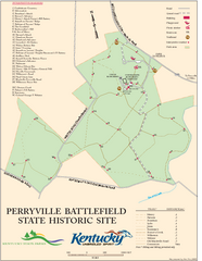
Perryville Battlefield State Historic Site Map
Map of trails and interpretive markers for the historical site of Perryville Battlefield.
130 miles away
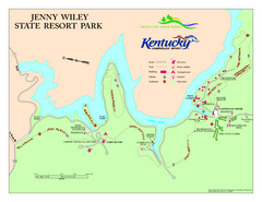
Jenny Wiley State Resort Park Map
Map of trails and facilities of Jenny Wiley State Resort Park.
132 miles away
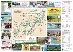
Ashe County Attractions Map
Ashe County Attractions
136 miles away

Ashe County Restaurant Map
Ashe County Restaurant Map
136 miles away
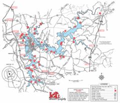
Allatoona Lake Map
136 miles away
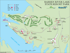
Barren River State Park map
Recreation map for Barren River Lake State Park in Kentucky
136 miles away
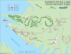
Barren River Lake State Resort Park Map
Map of facilities and golf course in Barren River Lake State Resort Park.
136 miles away
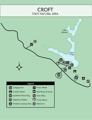
Croft State Park Map
Simple state park map.
137 miles away
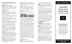
Grayson Highlands State Park Map
Clear and descriptive map of this beautiful state park.
137 miles away
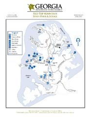
Red Top Mountain State Park Map
Map of park with detail of trails and recreation zones
138 miles away
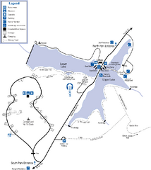
James H. Floyd State Park Map
Map of park with detail of trails and recreation zones
138 miles away
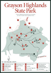
Grayson Highlands State Park Map
139 miles away
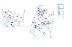
Fort Yargo State Park map
Detailed recreation and camping map for Fort Yargo State Park in Georgia
142 miles away
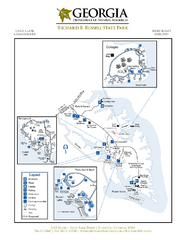
Richard B. Russell State Park Map
Map of park with detail of trails and recreation zones
142 miles away
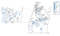
Fort Yargo State Park Map
Map of park with detail of trails and recreation zones
142 miles away
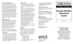
Hungry Mother State Park Map
Detailed map of this small state park.
142 miles away
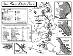
New River State Park map
Detailed recreation map for the New River State Park in North Carolina
142 miles away
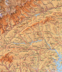
North Carolina Mountains Map
Location of the South, Brushy, and Blue Ridge Mountain ranges in Western North Carolina.
143 miles away
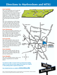
Middle Tennessee State University Map
Middle Tennessee State University Campus Map. All buildings shown.
143 miles away
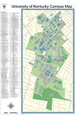
University of Kentucky Campus Map
Campus Map of University of Texas includes detailed numbered building list, all streets and sports...
143 miles away
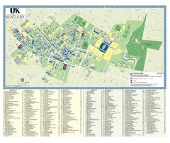
University of Kentucky Campus Map
2008 UK Visitor Map
143 miles away
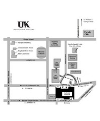
University of Kentucky Campus Map
Map of a part of University of Kentucky. Includes the specific location of the parking garage next...
144 miles away
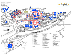
Kennesaw State University Map
Kennesaw State University Campus Map. All buildings shown.
145 miles away
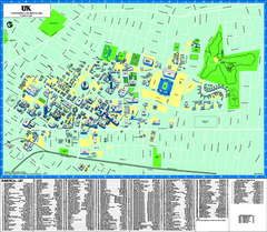
University of Kentucky Map
Campus Map of the University of Kentucky. All areas shown.
145 miles away
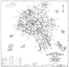
Fayette County General Highway Map
Transportation Map of Fayette County, KY
145 miles away
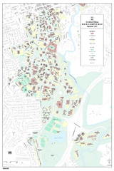
University of Georgia Map
Campus map of the University of Georgia. All buildings shown.
145 miles away

Athens, Georgia City Map
145 miles away
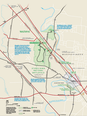
Stones River National Battlefield Official Map
Official NPS map of Stones River National Battlefield in Virginia. 8 AM to 5 PM Daily Pedestrians...
145 miles away

Athens Airport Lines Map
146 miles away
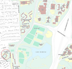
Brandon Town Map
Town of Brandon and University of Georgia Campus
147 miles away

University of Georgia and Surrounding Area Map
148 miles away

