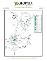
Fort Mountain State Park Map
Map of park with detail of trails and recreation zones
99 miles away
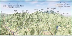
Panoramic Map of the Highlands of Roan (from TN)
Panoramic map of the Highlands of Roan as seen from Tennessee.
100 miles away

Roan Mountain Panorama Map
Panoramic Map of the View from the Baud Family Cabin of Roan Mountain, TN. The view overlooks...
100 miles away
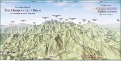
Panoramic Map of the Highlands of Roan (from NC)
Panoramic Map of the Roan Mountain Highlands as seen from North Carolina.
102 miles away
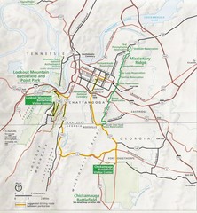
Chattanooga Guide Map
103 miles away
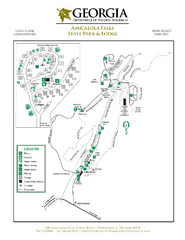
Amicalola Falls State Park Map
Map of park with detail of trails and recreation zones
103 miles away
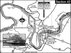
Chattanooga, TN Tennessee River Map
For boating navigational information and river road travel along the Tennessee River.
105 miles away
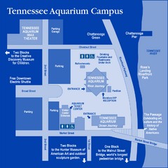
Tennessee Aquarium Campus Map
Map of Tennessee Aquarium Campus includes location of all buildings, bathrooms, parking, and...
106 miles away

University of Tennessee Map
Campus map
106 miles away
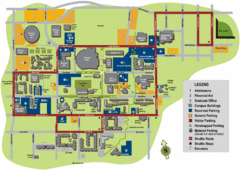
University of Tennessee Chattanooga Campus Map
Official campus map of University of Tennessee Chattanooga.
106 miles away
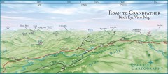
Panoramic View of Roan to Grandfather Map
This panorama takes in the vista from Roan to Grandfather mountain - overlooking the upper Linville...
107 miles away
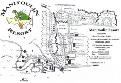
Manitoulin Resort Map
108 miles away
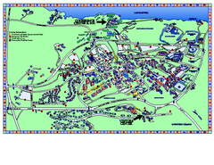
Clemson University Map
Clemson University Campus Map. All buildings shown.
109 miles away
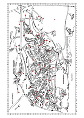
Clemson University Map
109 miles away
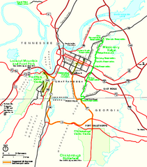
Chickamauga & Chattanooga National Military...
Official NPS map of Chickamauga & Chattanooga National Military Park in Georgia. All units of...
110 miles away
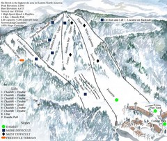
Beech Mountain Ski Resort Ski Trail Map
Trail map from Beech Mountain Ski Resort.
111 miles away
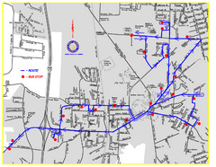
Berea Bus Route Map
111 miles away
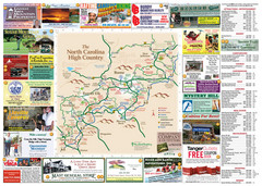
Avery County Attractions Map
Avery County Attractions Map
111 miles away
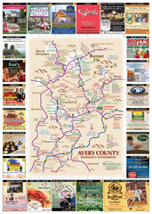
Avery County Restaurants Map
Avery County Tourist Map
111 miles away
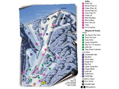
Sugar Mountain Resort Ski Trail Map
Trail map from Sugar Mountain Resort.
111 miles away
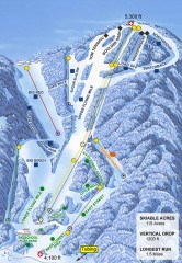
Sugar Mountain Ski Trail Map
Official ski trail map of Sugar Mountain ski area
112 miles away
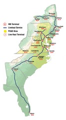
Linehaul Service Area Map
Service Area Map of Linehaul Surface Transportation
112 miles away
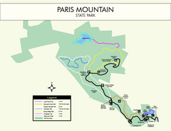
Paris Mountain State Park Map
Clearly labeled map of this beautiful state park.
113 miles away
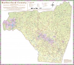
Tourist map of Rutherford County
Map of Rutherford County with detail panels for Rutherfordton, Spindale, Forest City, and Lake Lure.
118 miles away
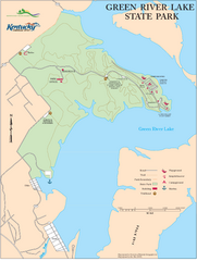
Green River Lake State Park Map
Map of trails and facilities in Green River Lake State Park.
120 miles away
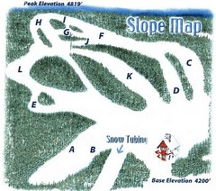
Hawksnest Golf & Ski Resort Ski Trail Map
Trail map from Hawksnest Golf & Ski Resort.
120 miles away
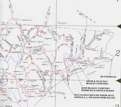
Trousdale County Muttonbluff Map
Pictured is a part of a map of Trousdale County containing the extreme northeast section. The...
120 miles away
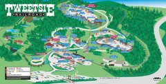
Tweetsie Tourist Map
120 miles away
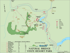
Natural Bridge State Resort Park map
Recreation map for Natural Bridge State Park in Kentucky
122 miles away
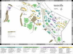
Appalachian State University Campus Map
Campus map of Appalachian State University in Boone, NC
122 miles away
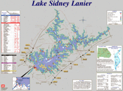
Lake Sidney Lanier Recreation Map
Recreation map of Lake Sidney Lanier in Georgia. Shows campgrounds, day use parks, marinas, and...
122 miles away
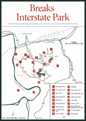
Breaks Interstate Park Map
Clear park map and legend.
122 miles away

Watauga County Attractions Map
Watauga County Tourist Attractions
122 miles away

Watauga County Restaurants Map
Watuaga County Restaurant Guide
122 miles away
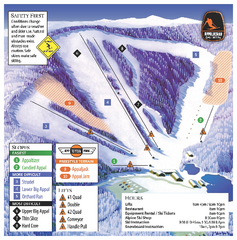
Appalachian Ski Mtn. Ski Trail Map
Trail map from Appalachian Ski Mtn..
123 miles away
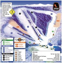
Appalachian Ski Trail Map
Official ski trail map of Appalachian ski area
123 miles away
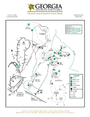
Cloudland Canyon State Park Map
Map of park with detail of trails and recreation zones
123 miles away
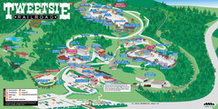
Tweetsie Railroad Park Map
Tweetsie Railroad is a unique attraction that allows children and families to explore their...
123 miles away
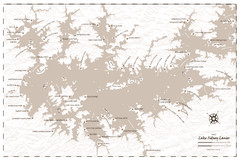
Pirate Map of Lake Sidney Lanier
Retro look pirate's map of Lake Sidney Lanier near Atlanta, Georgia
124 miles away
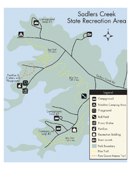
Sadlers Creek State Park Map
This simple map gives you an easy to follow layout of this amazing state park.
125 miles away

