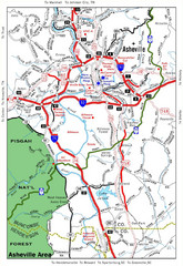
Asheville, NC Tourist Map
78 miles away
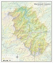
Haywood County Topographical Map
This topographic wall map of Haywood County emphasizes the rugged mountain terrain and natural...
78 miles away
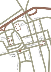
Downtown Asheville Map
Located in the heart of Asheville’s professional, municipal and cultural activity, Capital...
78 miles away
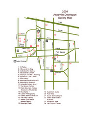
Downtown Asheville Galleria Map
Numbered shopping map of Downtown Asheville.
78 miles away
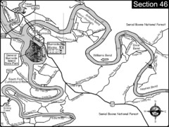
Burnside, KY-Cumberland River Map
Burnside, Kentucky is located at the fork of the Cumberland River and the South Fork. This is...
79 miles away
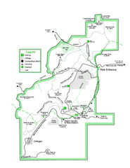
Black Rock State Park map
Detailed recreation map for Black Rock State Park in Georgia
79 miles away
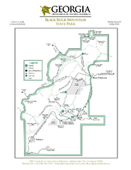
Black Rock Mountain State Park Map
Map of park with detail of trails and recreation zones
81 miles away
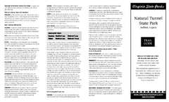
Natural Tunnel State Park Map
Detailed and informative state park map and legend.
81 miles away
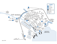
Moccasin Creek State Park Map
Map of park with detail of trails and recreation zones
82 miles away
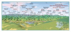
Northwest Reserve Panorama Map
Panoramic Map of the view Northwest from the Reserve in Brevard, North Carolina.
83 miles away
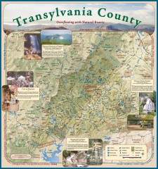
Transylvania County Tourism Development Map
Transylvania County tourist map, showing all points of interest including hiking and picnic areas.
83 miles away
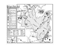
Gorges State Park map
Detailed recreation map for Gorges State Park in North Carolina
83 miles away

Panoramic View of the Reserve Map
Panoramic map of the view northeast from 'Gladiola Ridge' in Brevard, North Carolina.
83 miles away
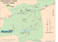
Kingdom Come State Park Map
Trail map for Kingdom Come State Park.
83 miles away
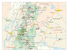
Appalachian Trail in North Carolina Map
Appalachian Trail in North Carolina. Shows major summits, National Forests, and hiking clubs.
83 miles away

Map of Southern Blue Ridge Escarpment
Map of the Nature Conservancy's Southern Blue Ridge Escarpment project area showing protected...
85 miles away

The Reserve Shaded Relief Map
This map is a shaded relief property map of The Reserve in North Carolina with survey boundaries...
86 miles away
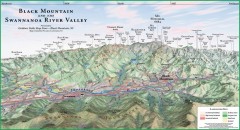
Black Mountain Panorama map
Panoramic map of the Black Mountain, NC and Swannanoa River Valley. Shows all mountains with...
86 miles away
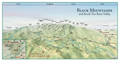
Black Mountains Panorama Map
This map portrays a sweeping vista of the Black Mountains and South Toe River Valley - extending...
87 miles away
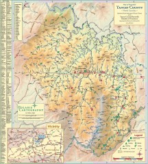
Yancey County Chamber of Commerce Map
Map of Yancey County, North Carolina. Shows all public roads, communities, hiking trails and picnic...
88 miles away
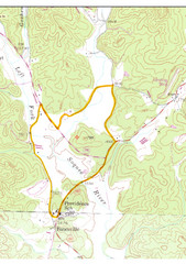
Soque River Ramble 6K Run & Walk Course...
Soque River Ramble 6K Race Course Elevation Map in Georgia.
88 miles away
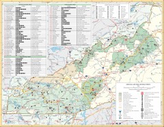
Pisgah National Forest and Nantahala National...
Pisgah National Forest and Nantahala National Forest recreation map. Contains list of all...
89 miles away
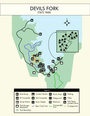
Devils Fork State Park Map
Clearly marked state park map.
90 miles away
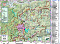
DuPont State Forest Trail map
Trail map of DuPont State Forest. Shows all trails with mileages. From dupontforest.com: "...
90 miles away
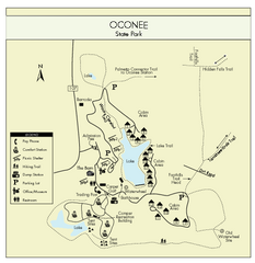
Oconee State Park Map
Beautiful state park clearly mapped with legend.
90 miles away
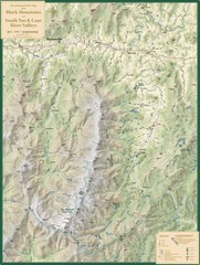
Black Mountains and South Toe and Cane River...
Guide to recreation around Mt. Mitchell State Park and Black Mountains
90 miles away
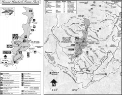
Mount Mitchell State Park map
Official map of Mt. Mitchell State Park in North Carolina. Park contains the 6,684 ft summit of...
90 miles away
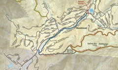
Montreat trail map
Detailed guide to the trail system surrounding the village of Montreat, NC.
91 miles away
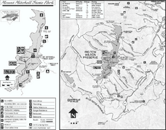
Mount Mitchell State Park map
Detailed recreational map for Mt. Mitchell State Park in North Carolina
91 miles away
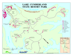
Lake Cumberland State Resort Park Map
Map of trails and facilities for Lake Cumberland State Resort Park.
91 miles away
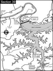
Lake Cumberland-Cumberland River Map
Lake Cumberland is formed by a dam on the Cumberland River in Section 39 of the Cumberland River...
91 miles away
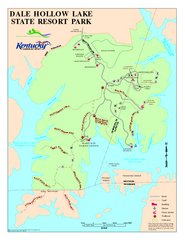
Dale Hollow Lake State Park Map
Map of trails and facilities of Dale Hollow Lake State Park.
92 miles away
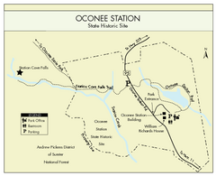
Oconee Station Map
Clear and simple map of Oconee State Park's station.
93 miles away
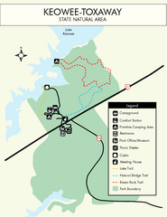
Keowee Toxaway State Park Map
Clear and detailed map of this wonderful state park.
93 miles away
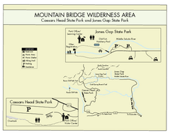
Mountain Bridge Wilderness Area Map
Map and legend marking bathrooms, picnic sites, trails and more.
93 miles away
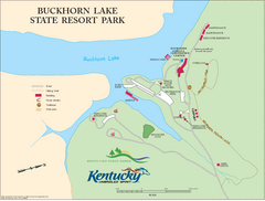
Buckhorn Lake State Resort Park Map
Map of Trails and Facilities of Buckhorn Lake State Resort Park.
94 miles away
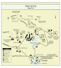
Table Rock State Park MAP
Clear and simple state park map and legend.
94 miles away
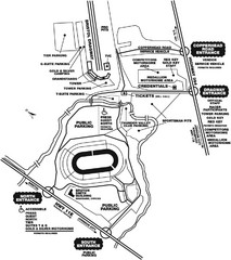
Bristol Dragway Map
Guide to campgrounds and parking at Bristol Dragway
95 miles away
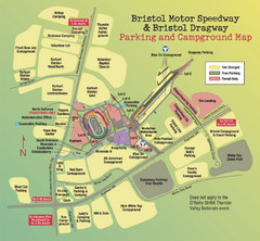
Bristol Motor Speedway Map
Guide to the campgrounds and parking at the Speedway
95 miles away
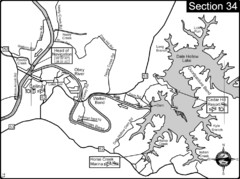
Celina, TN Dale Hollow Lake-Cumberland River Map
Celina Tennessee is the location for the head of navigation for the Cumberland River at the fork of...
98 miles away

