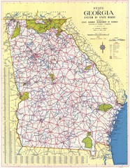
Georgia Road Map
Road map of state of Georgia, 1952
234 miles away

Heritage Acres RV Park Map
Map of Heritage Acres RV Park in Tuscumbia, Alabama showing lots and roos. Rows are named after...
235 miles away
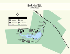
Barnwell State Park Map
Simple map of this state park.
235 miles away
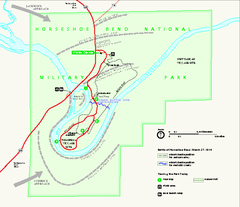
Horseshoe Bend National Military Park Official Map
Official NPS map of Horseshoe Bend National Military Park in Alabama. Horseshoe Bend National...
236 miles away
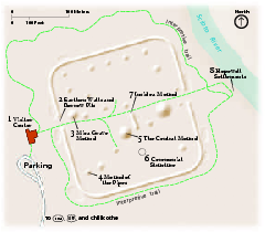
Hopewell Culture National Historical Park...
Official NPS map of Hopewell Culture National Historical Park in Ohio. Map shows all areas. he...
237 miles away
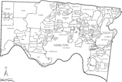
Hamilton, Ohio City Map
237 miles away
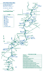
Little Miami State Park map
Detailed recreation map for Little Miami State Park and surrounding area in Ohio
239 miles away

Clifton, TN Tennessee River Map
For boating navigational information and river road travel along the Tennessee River.
240 miles away
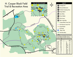
H. Cooper Black Field Map
Detailed map and legend of this state park.
240 miles away

Tar Hollow State Park map
Detailed recreation map for tar Hollow State Park in Ohio
240 miles away
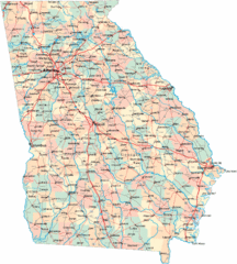
Georgia Road Map
Detailed, colorful road map of the state of Georgia.
240 miles away
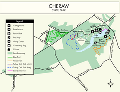
Cheraw State Park Map
Clear and descriptive state park map.
241 miles away
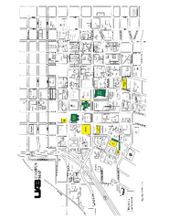
University of Alabama at Birmingham Map
University of Alabama at Birmingham Campus Map. All buildings shown.
241 miles away
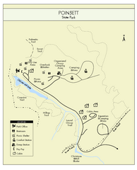
Poinsett State Park Map
Map and legend for this wonderful state park, marking bathrooms, camping grounds, roads, and more.
242 miles away
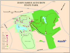
John James Audubon State Park Map
Map of trails, facilities and historical sites in John James Audubon State Park.
242 miles away
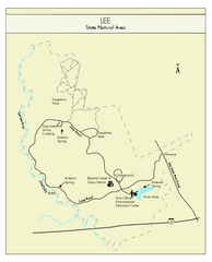
Lee State Park Map
Simple map of this state park.
242 miles away
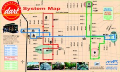
UAB and Area 5 Dart Sysetm Map
242 miles away
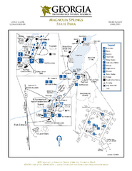
Magnolia Springs State Park Map
Map of park with detail of trails and recreation zones
242 miles away

Brookwood Medical Center Map
243 miles away
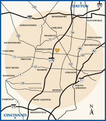
Atrium County Map
Map of Atrium County, Ohio. Includes all roads and towns.
243 miles away
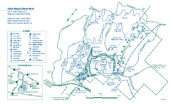
Lake Hope State Park map
Detailed recreation map for Lake Hope State Park in Ohio
244 miles away
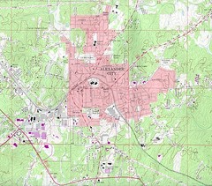
Alexander City Map
Topography city map of Alexander City, Alabama
245 miles away
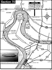
Ohio River at Evansville, IN and Henderson, KY Map
This is a page from the Ohio River Guidebook. The map shows important information for boaters and...
245 miles away
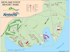
KenLake State Resort Park Map
Map of trails, facilities, and golf course for the KenLake State Resort Park located on the mid...
246 miles away
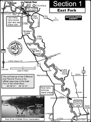
Columbus, IN White River East Fork Map
This is a page from the White River Guidebook. The map shows important information for boaters and...
246 miles away
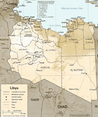
Lybia Map
Clear map and legend of this African Nation.
246 miles away
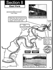
Williams, IN White River East Fork Map
This is a page from the White River Guidebook. The map shows important information for boaters and...
247 miles away
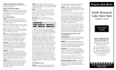
Smith Mountain Lake State Park Map
Hiking, horse back, fishing and more are all available at this amazing state park.
248 miles away
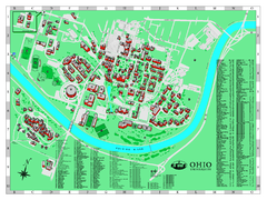
Ohio University Map
Ohio University Campus Map. All buildings shown.
248 miles away
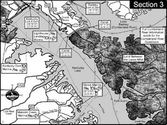
Kentucky Lake Tennesssee River-Land Between the...
This is the upper end of Kentucky Lake which is the Tennessee River. The map is designed for...
250 miles away
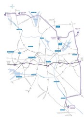
Haw River Wine Trail Map
251 miles away
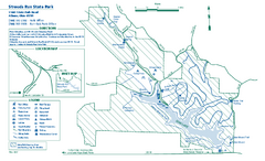
Strouds Run State Park map
Detailed recreation map for Strouds Run State Park in Ohio.
251 miles away
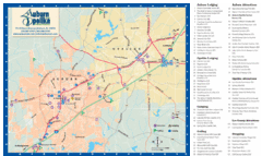
Auburn and Opelika City Map
Map of Auburn and Opelika, Alabama with tourist information.
251 miles away
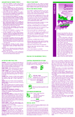
Brown County State Park, Indiana Site Map
253 miles away
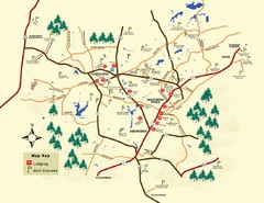
Pinehurst Golf Map
253 miles away
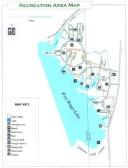
West Boggs Park Map
253 miles away
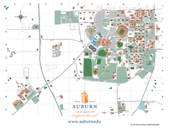
Auburn University Map
Campus Map of Auburn University. All areas shown.
254 miles away
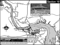
Pickwick Lake Tennessee River Map
For boating navigational information and river road travel along the Tennessee River. This map...
254 miles away
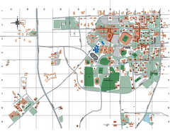
Auburn University Map
255 miles away
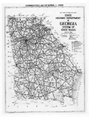
Georgia 1939 Road Map
State Road Map of Georgia in 1939
255 miles away

