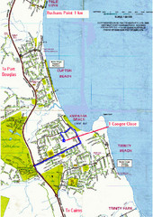
Trinity Beach, Australia Tourist Map
0 miles away
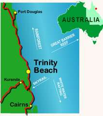
Trinity Beach, Australia Map
less than 1 mile away
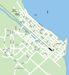
Cairns Map
Clear map of streets and roads of this small city.
11 miles away
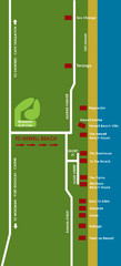
Newell Beach Tourist Map
32 miles away
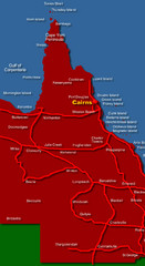
West Queensland Map
Map of West Queensland showing cities and islands
32 miles away
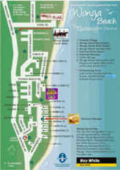
Wonga Beach Tourist Map
36 miles away
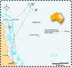
Coral Sea Map
The Coral Sea off the northeast coast of Australia
76 miles away
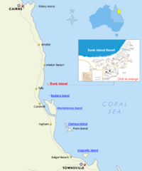
Dunk Island, Australia Beach Map
85 miles away
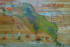
Dunk Island Tourist Map
Tourist map of Dunk Island and Family Islands National Park. Shows trails, reefs, and other islands...
86 miles away
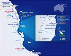
Dunk Island Resort - Great Barrier Reef...
Map of Dunk Island. Dunk Island resort is located in Queensland on the Great Barrier Reef.
86 miles away
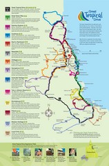
Townsville Regional Tourist Map
146 miles away
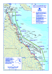
Great Barrier Reef Marine Park map
Official Great Barrier Reef Marine Park Authority general reference map of the Great Barrier Reef...
169 miles away
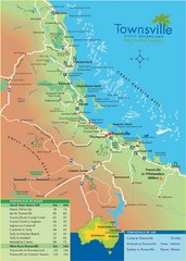
Townsville Map
Tourist map of Townsville
186 miles away
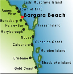
Bargara Beach, Australia Tourist Map
202 miles away
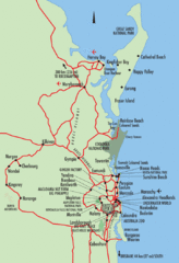
Queensland, Australia Beach Map
202 miles away
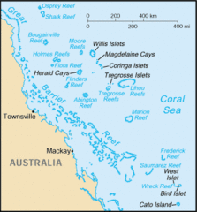
Coral Sea Islands Tourist Map
206 miles away
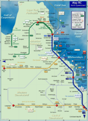
Northern Queensland Rail Map
Map of long-distance rail system throughout Northern Queensland
245 miles away
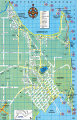
Bowen Map
Tourist street map
279 miles away
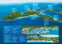
Hamilton Island, Australia Map
326 miles away
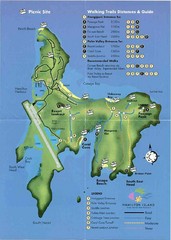
Hamilton Island Tourist Map
326 miles away
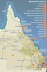
Queensland Map
Map of Queensland region with detail of districts
341 miles away
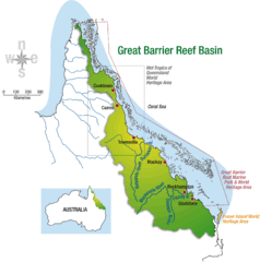
Great Barrier Reef Basin Map
365 miles away
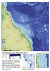
Great Barrier Reef and Coral Sea Bathymetry Map
High resolution depth and elevation map of the Great Barrier Reef, Coral Sea and neighbouring...
427 miles away
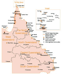
Queensland Map
Map of Queensland and Torres Strait islands
449 miles away
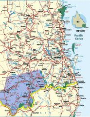
South East Queensland Map
A detailed map of the South East portion of Queensland, Australia, including Brisbane.
493 miles away
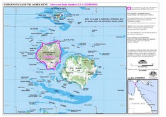
Badu Island and Moa Island Map
516 miles away
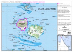
Badu Island Land Use Map
Land use agreement map on Badu Island in the Torres Strait.
516 miles away
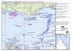
Torres Strait Land Use Map
Map of land use agreement for Boigu Island. Shows islands in the Torres Strait between Papua New...
536 miles away
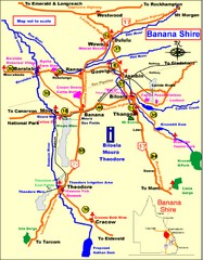
Banana Shire Tourist Map
Tourist map of Banana Shire region of Australia. Includes Biloela and Banana, Australia
607 miles away
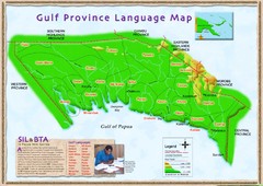
Gulf Province language Map
623 miles away
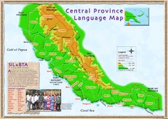
Central province language Map
641 miles away
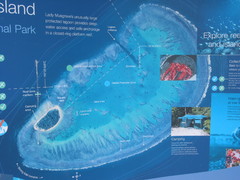
Lady Musgrave Island Map
Photo of map showing isliand and Lady Musgrave Reef
657 miles away
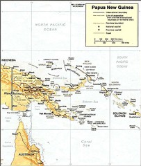
Papua New Guinea topographic Map
677 miles away
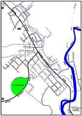
Mount Perry Tourist Map
Tourist map of town of Mount Perry, Australia
696 miles away
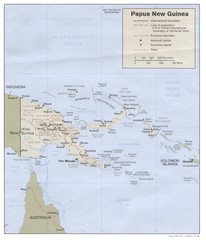
Papua New Guinea Map
721 miles away
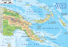
Papua New Guinea physical Map
734 miles away
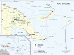
Papua New Guinea Map
734 miles away
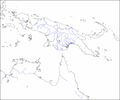
New Guinea Map
Regional Map of the Island of New
734 miles away
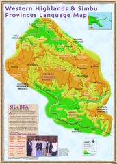
Western Highlands language Map
738 miles away

