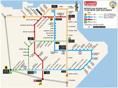
Kuwait City Metro Map
1108 miles away
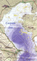
Northern Caspian Sea Map
1115 miles away
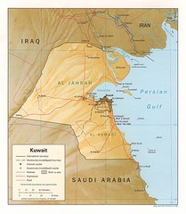
Kuwait physical Map
1115 miles away
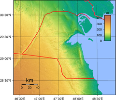
Kuwait topo Map
1117 miles away
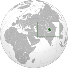
Nagorny Karabakh on the Globe Map
1118 miles away
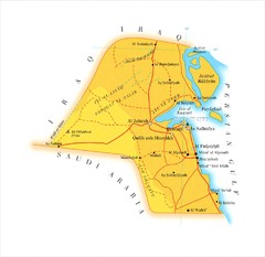
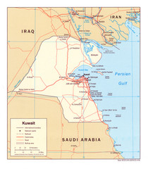
Kuwait Map
1118 miles away
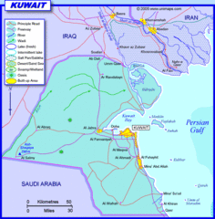
Kuwait water Map
1120 miles away
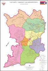
Map of the Nagorno-Karabakh Republic (Artsakh)
Administrative Map of the Nagorno-Karabakh Republic (Republic of Artsakh)
1121 miles away
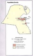
Kuwait Population Density Map
Map of Kuwait's population density
1121 miles away
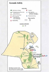
Kuwait Economic Activity Map
Map of Kuwait's economic activity
1121 miles away
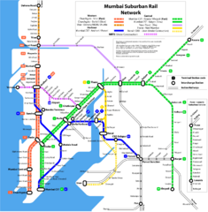
Mumbai Suburban Rail Map
Guide to Mumbai (Bombay) Suburban Railway
1126 miles away
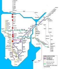
Mumbai Public Transportation Map
1126 miles away
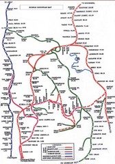
Mumbai Railway Map
1126 miles away
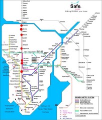
Mumbai Metro System Map
Map shows Metro lines in Mumbai, India with the airport and other tourist sites identified.
1126 miles away
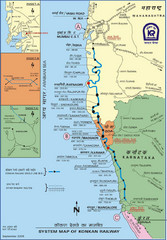
Konkan Railway Map
1126 miles away
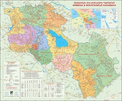
Karabakh & Armenia Map
Map of Armenian states - the Republic of Armenia and the Nagorno-Karabakh Republic
1127 miles away
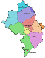
Administrative Map of Nagorny Karabakh (Artsakh)
Administrative Division of the Nagorno-Karabakh Republic (Artsakh)
1128 miles away
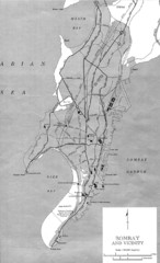
Bombay Street Map
Bombay (Mumbai), India street map.
1128 miles away
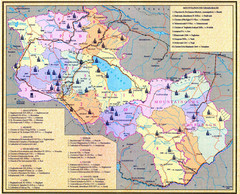
Monuments of Armenia and Nagorny Karabakh Map
Monuments of modern Armenian states - the Republic of Armenia (Ararat Republic) and the Nagorno...
1128 miles away
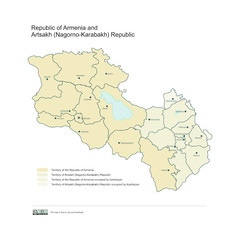
Map of Armenian states - the Republic of Armenia...
Map of Armenian states - the Republic of Armenia and the Nagorno-Karabakh Republic
1129 miles away
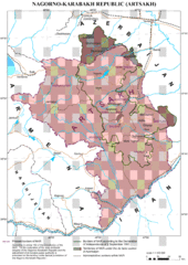
Karabakh Map
Up-to-date Map of the Nagorno-Karabakh Republic (Republic of Arstakh)
1129 miles away
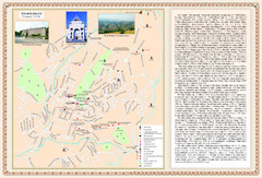
Stepanakert City Map
Map of Stepanakert, Nagorno-Karabakh Republic (Artsakh)
1129 miles away
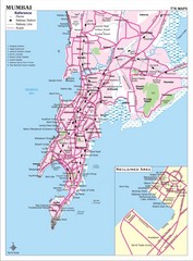
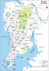
Mumbai City Map
Mumbai City map with tourist attractions and hospitals.
1131 miles away
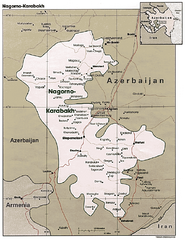
Nagorno-Karabakh Map
Major towns and borders are clearly marked on this map.
1132 miles away
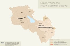
Map of Armenia and Nagorny Karabakh
1135 miles away

Saudi Arabia on the Persian Gulf Map
1136 miles away
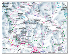
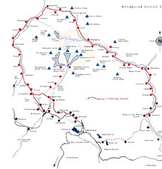
Gandaki Mountain Trail Map
Map of hiking trails for Gandaki Moutain range, Nepal.
1136 miles away
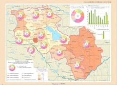
Educational Attainment in Armenia and Nagorny...
Map of Educational Attainment in the Armenian states - Republic of Armenia and the Nagorno-Karabakh...
1137 miles away
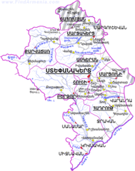
Map of the NKR
Map of the Nagorno-Karabakh Republic (Republic of Artsakh)
1140 miles away
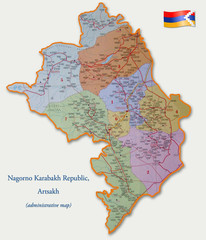
Map of the Nagorno-Karabakh Republic (Artsakh)
Administrative Map of the Nagorno-Karabakh Republic (Republic of Artsakh)
1141 miles away
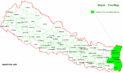
Nepal Tea Growing Regions Map
1143 miles away
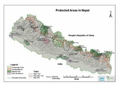
Nepal Protected Areas Map
1143 miles away
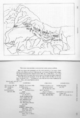
Early Geographical Locations of Vedic Schools Map
The map shows the homelands and the early spreading of the major Vedic sakhas in hte Middle and...
1143 miles away

Az Map
Armenian Historical Monuments of the Upper and Lower Karabakh
1144 miles away
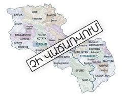
Armenian Lands Are Not For Sale Map
Holy lands of the Armenian states - the Republic of Armenia (Ararat Republic) and the Nagorno...
1144 miles away

