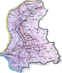
Sindh Guide Map
588 miles away
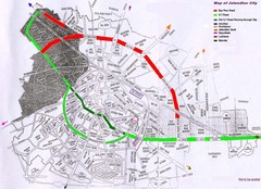
Jalandhar City Map
Jalandhar (Jullundur) city map with main roads highlighted
592 miles away

Turkmenistan road Map
593 miles away
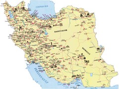
Iran Map
600 miles away
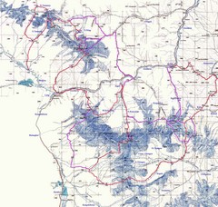
Kongur Expedition Map
Route map of 2004 expedition to summit the highest peak of China Pamir and Kun-Lun, Kongur 7719m
604 miles away
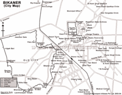
Bikaner Tourist Map
606 miles away
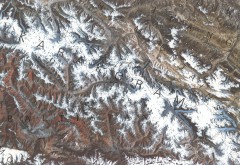
Karakoram Range Map
Shows major peaks and glaciers in the Karakoram mountain range in Pakistan and China. 2nd highest...
609 miles away
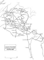
Chandigarh Map
623 miles away
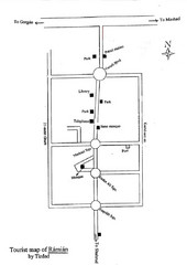
Ramian Tourist Map
Hand drawn map of Ramian, Iran showing buildings, roads and the mosque.
628 miles away
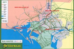
Karachi Bus Route Map
Bus routes and districts are clearly labeled.
639 miles away
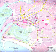
Karachi Road Map
639 miles away
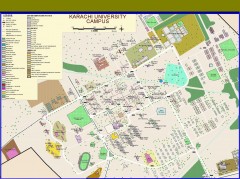
University of Karachi Map
Campus map of University of Karachi, Pakistan's largest public university. Shows all buildings...
640 miles away
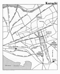
Karachi Pakistan City Map
City map of Karachi, Pakistan showing major roads and a few tourist sites and government buildings.
642 miles away
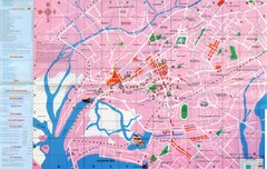
Karachi Map
642 miles away
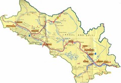
Lahaul Valley and Spiti Valley India Tourist Map
Tourist map for Lahaul Valley and Spiti Valley, India showing tourist sites and roads in the area.
648 miles away
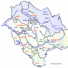
Himachil Tourist Map
658 miles away
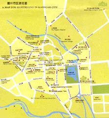
Kashgar, China Tourist Map
669 miles away
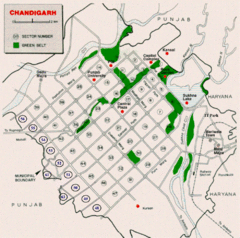
Chandigarh City Map
City map of Chandigarh
674 miles away

Atrek river watershed Map
676 miles away
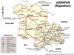
Jodhpur Tourist Map
686 miles away
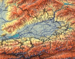
Kyrgyzstan Elevation Shaded Map
Kyrgyzstan Elevation Shaded - Note map is not in English
689 miles away
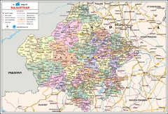
Rajasthan Travel Map
Rajasthan, India Travel Map showing cities, roads, states, and boudnaries.
694 miles away
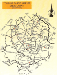
Shekhawati Express Map
The main routes of the Shekhawati Express in India.
695 miles away
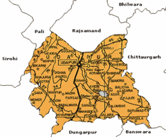
Udaipur, India Tourist Map
716 miles away
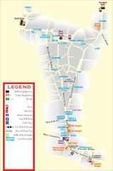
Udaipur Tourist Map
716 miles away
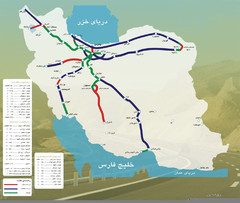
Iran Freeways Map
717 miles away
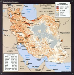
Iran Population Density Map
Map of Iran's population density
717 miles away
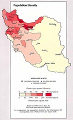
Iran Population Density Map
Map of Iran's population density
717 miles away
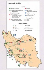
Iran Economic Activity Map
Map of Iran's economic activity
717 miles away
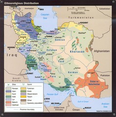
Iran Ethnoreligious Map
Map of ethnoreligious distribution throughout Iran
717 miles away
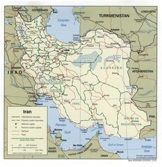
Iran Political Map
717 miles away
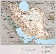
Iran Country Map
717 miles away
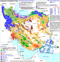
Languages of Iran Map
Linguistic groups of Iran. Very diverse plateau.
717 miles away
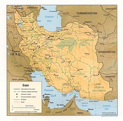
Iran Map
Map of Iran showing cities, provinces, railroads and roads.
717 miles away
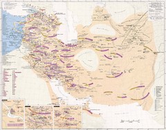
Iran Sasanian Dynasty Map
Iran during Sassanid dynasty, 224-651 AD
717 miles away
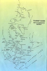
Tourist Guide of Dehradun District India Map
Hand drawn map of Dehradun District, India showing distances, roads, towns and Raja Ji National...
740 miles away

