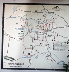
Nevsehir Tourist Map
Photo of Cappadocia tourist Map at the Nevsehir, Turkey Dedeman Hotel
1757 miles away
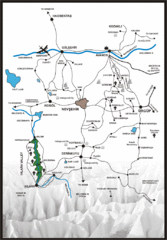
Tourist map of Cappadocia
Map displaying the Anatolian extraordinary landscape of Cappadocia.
1757 miles away
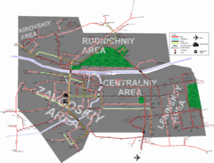
Kemerovo Transport Map
Map of Public Transport routes in Kemerovo, Russia. Shows bus, trolley, tram, and taxi routes.
1759 miles away

The Dead Sea Map
1769 miles away
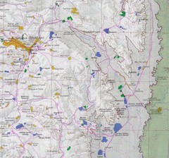
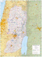
Eastern West Bank Map
Map of Nabulus and Eastern region of West Bank
1769 miles away
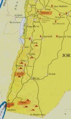
Southern Jordan tourist Map
1776 miles away
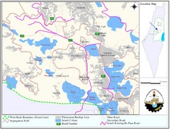
West Bank Village Map
Demographic map of several villages in the West Bank surrounding Jerusalem.
1778 miles away
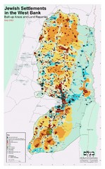
Jewish Settlements in West Bank Map
Shows Jewish settlements in West Bank of Israel.
1779 miles away
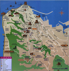
Haifa Tourist Map
Tourist map of Haifa, Israel
1780 miles away
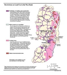
West Bank Land Restrictions Map
Map of land restrictions in West Bank as of 1993
1780 miles away
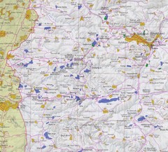
Western West Bank Map
1780 miles away
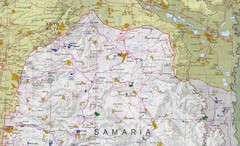
Northern West Bank Map
1780 miles away
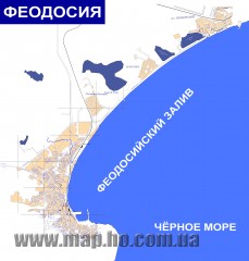
Plan of the Feodosiya (in Russian) Map
Plan of the Feodosiya (in Russian)
1783 miles away
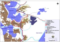
Anata Village Geopolitical Map
Geopolitical map of Anata Village in the West Bank and surrounding areas
1784 miles away
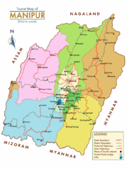
Manipur India Tourist Map
Tourist Map of Manipur, India showing tourist sites, roads and cities.
1784 miles away
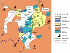
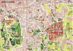
Jerusalem Tourist Map
1785 miles away
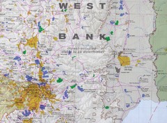
Jerusalem Tourist Map
1785 miles away
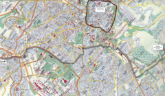
Jerusalem Map
Map of Jerusalem, Israel. Old Jerusalem highlighted. Scanned.
1785 miles away
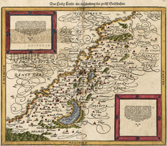
Munster’s Map of the Holy Land (1588)
Sebastian Munster's map of the Abrahamic Holy Land in 1588.
1785 miles away
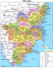
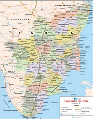
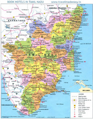
Tamil Nadu Political Map
Political map of state of Tamil Nadu, India and Indian areas south.
1790 miles away
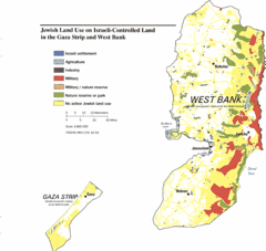
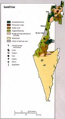
Gaza Strip and West Bank Jewish Land Use Map
1794 miles away
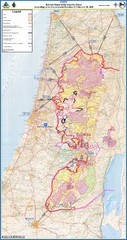
Israel Security Fence Route Map
Revised route of the Israel Security Fence around the West Bank as of Feb 2005
1794 miles away
Petra Tourist Map
Ancient city of Petra, Jordan, carved out of stone
1797 miles away
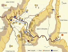
Petra and monuments Map
1797 miles away
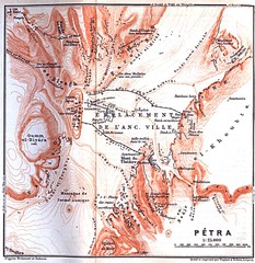
Petra Map
1797 miles away
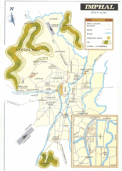
Imphal India Tourist Map
Tourist Map of Imphal City, India showing roads, tourist attractions and the airport.
1798 miles away
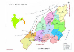
Nagaland Tourist Map
Tourist map of state of Nagaland, India. Shows tourist destinations and roads.
1798 miles away
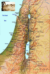
Israel Map
Israel map highlighting location of Theater of Sepphoris
1800 miles away
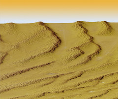
Digital Elevation Model Ataq, Yemen Map
Digital Elevation Model Ataq, Yemen Map
1803 miles away
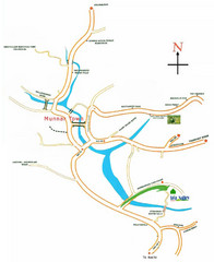
Tea Valley Resort Map
1804 miles away
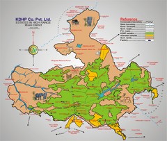
Idukki District Estate Map
Tourist map shows estates of one company, KDHP, in the high range of the Idukki District centered...
1804 miles away
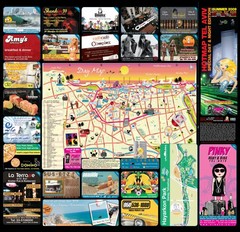
Tel Aviv day map summer 2009
this is a great day map that show the real life in tel aviv , also theres a small map of "park...
1805 miles away

Hot night map tel aviv - israel 2009
a great night map of tel aviv , all the best bars and clus on that map , amzingggggg city
1805 miles away

