Administrative Map of Armenia & Nagorny...
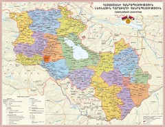
Administrative Map of the Republic of Armenia and the Nagorno-Karabakh Republic
1222 miles away
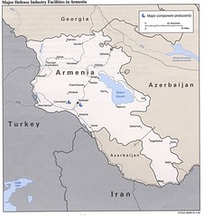
Armenia Defense Facilities Map
Map of major defense industry facilities in Armenia
1222 miles away
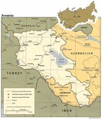
Armenia Map
Map of Armenia showing cities, roads and railways as well as international boundaries.
1222 miles away
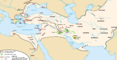
Achaemenid Empire Guide Map
1225 miles away

Armenia overlaid over southern California Map
1227 miles away
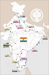
India Transportation Map
1227 miles away

India Tourist Map
1227 miles away

India Map
1227 miles away

India Tourist Map
Map of India showing cities, roads, state boundaries and heritage sites.
1227 miles away

India Tourist map
Map of India showing tourist centers, places of interest, cities and roads.
1227 miles away
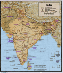
India Map
Tourist Destinations highlighted on India map. Map contains cities, major roads, railways and...
1227 miles away

India Map
Map of India showing major cities and roads.
1227 miles away

India Tourist Map
Simple map of India showing tourist sites with a star, cities, borders and airports.
1227 miles away
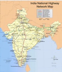
India Roadway Map
India National Highway Network Map
1227 miles away
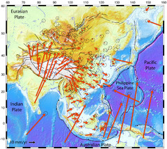
Horizontal Surface Motions map
This map illustrates the horizontal surface motions of sites in Asia. Eric Calais, a Purdue...
1227 miles away
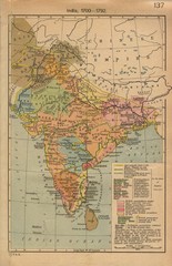
18th century India Map
1227 miles away
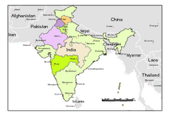
Political Map of India, Fully Editable in...
Political Map of India with boundaries of few Western and Northern states. Major cities have been...
1227 miles away
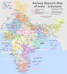
India Railway Network Schematic Map
Schematic rail map of India showing trunk and other routes.
1227 miles away
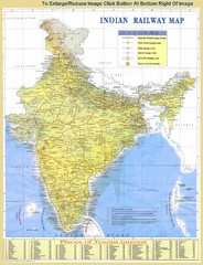
India Railway and Tourist Map
Railway and tourist map of India.
1227 miles away
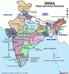
India states and union territories Map
India states and union territories
1227 miles away
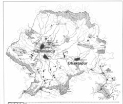
Kathmandu Valley Map
1230 miles away
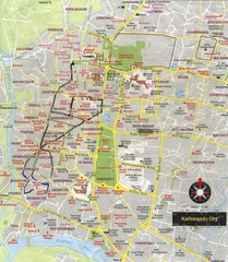
Kathmandu City Tourist Map
Tourist Map of Kathmandu, Nepal showing tourist attractions, streets, walking route and trolley...
1230 miles away
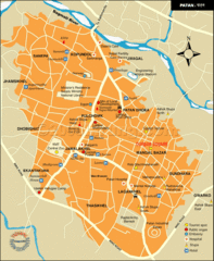
Patan Lalitpur, Nepal Guide Map
1231 miles away
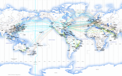
United Airlines International Route Map
1235 miles away
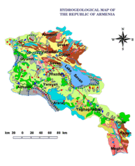
Armenia Hydrological Map
1237 miles away
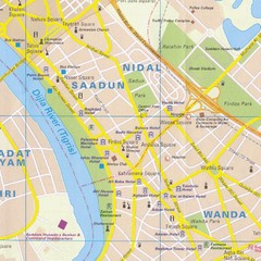
Baghdad City Center Map
Tourist map of city center
1237 miles away

Armenia & Karabakh Map
Map of Armenian states - the Republic of Armenia and the Nagorno-Karabakh Republic
1238 miles away
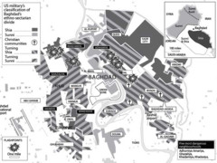
Baghdad Sectarian Divisions Map
Map of city with detail of religious sects divisions
1239 miles away
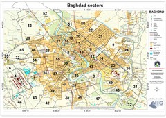
Built Up Areas and Sectors in Baghdad Map
Sectors in Baghdad, Iraq due to the Iraq War
1239 miles away
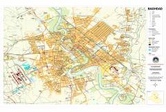
Baghdad Iraq Downtown map
Map of downtown Baghdad, Iraq. Shows key POI buildings, transportation, hydrographic features, and...
1239 miles away
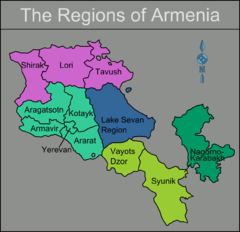
Armenia regions Map
1240 miles away
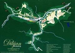
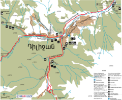
Dilijan Tourist Map
Tourist Map of Dilijan Town in Armenia
1242 miles away

Saudi Arabia Map
1242 miles away
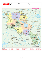
Armenia Regional Map
Country map with detail of regional divides
1243 miles away
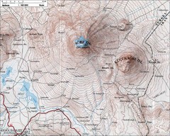
Mt. Ararat Topo Map
1244 miles away
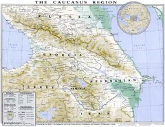
Detailed map of Caucasus region
1245 miles away
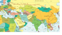
Partial Europe, Middle East, Asia, Partial Russia...
Map that shows the Eastern half of Europe, the Southern half of Russia, the Northern half of Africa...
1246 miles away

