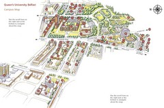
Queen's University Belfast Map
Guide to campus and botanical gardens
1247 miles away
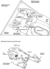
Odyssey Complex Public Service Attraction Visitor...
Odyssey complex site map, displaying the locations of all attractions, restaurants, stores...
1247 miles away
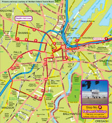
Belfast Bus Tour Map
1248 miles away
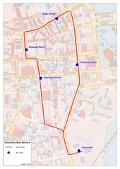
Gasworks/Belfast city centre shuttle Bus Map
Shuttle Bus service map between the Gasworks Estate and Belfast city centre.
1248 miles away
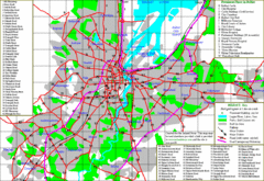
Belfast Map
1248 miles away
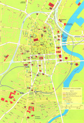
Belfast Tourist Map
Tourist map of center of Belfast, Northern Ireland, UK. Major buildings highlighted.
1248 miles away
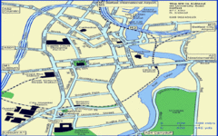
Belfast City Map
City map of Belfast with tourist information
1248 miles away
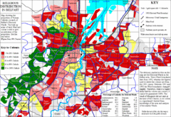
Belfast Religious Distribution Map
Guide to proportion of Catholics in each Belfast ward
1249 miles away
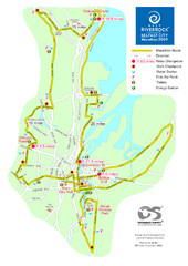
Belfast City Marathon Map
Event and the marathon map.
1249 miles away
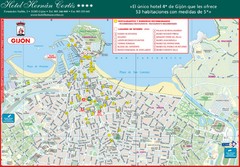
Gijon Tourist Map
Tourist street map of city
1251 miles away
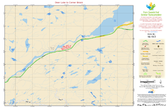
Deer Lake to Corner Brook NL-013 Map
1255 miles away
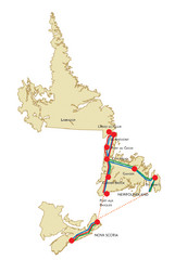
Newfoundland Map
1256 miles away
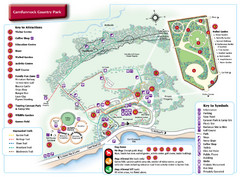
Carnfunnock Country Park Map
1257 miles away
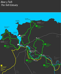
Cardigan Walks Map
Trail map of 6 circular walks in the Cardigan area ranging between four and a half and six and a...
1257 miles away
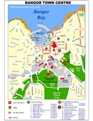
Bangor Town Centre Map
1259 miles away
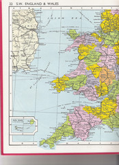
Wales Political Map
Map of Wales and southwest England
1261 miles away
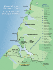
Gros Morne National Park Map
Shows campgrounds and trails in Gros Morne National Park, Newfoundland, Canada. In French and...
1263 miles away
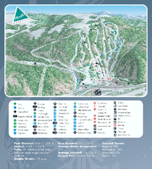
Marble Mountain Ski Trail Map
Official ski trail map of Marble Mountain ski area in Newfoundland from the 2007-2008 season.
1264 miles away
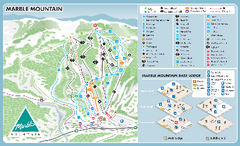
Marble Mountain Ski Trail Map
Trail map from Marble Mountain, which provides downhill skiing. This ski area has its own website.
1264 miles away

Lesconil City Map
City map of Lesconil, France
1266 miles away
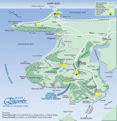
Mount Edcumbe Tourist Map
1266 miles away
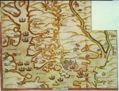
Plymouth Map 1500s
Map of Plymouth, England area in late 1500s
1267 miles away
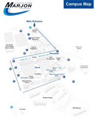
University College Plymouth Map
University College Plymouth St Mark & St John Derriford Road, Plymouth, Devon PL6 8BH
1269 miles away
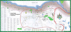
Corner Brook Map
City map of Corner Brook, Newfoundland in the Humber Valley region.
1269 miles away
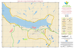
Deer Lake to Corner Brook/Newfoundland Trailway...
1270 miles away
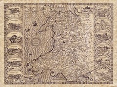
Old Maps - Wales Map
Includes illustrations of individual Welsh county towns.
1272 miles away
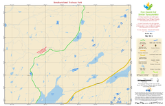
Newfoundland Trailway Park NL-011 Map
1275 miles away
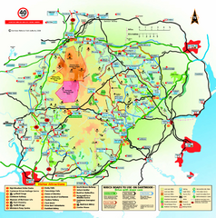
Dartmoor National Park Map
Official visitor map of Dartmoor National Park, England. Shows elevation and visitor attactions.
1278 miles away

Concarneau ville Map
1279 miles away

Concarneau Map
1279 miles away
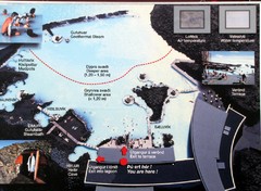
Blue Lagoon Map
1280 miles away
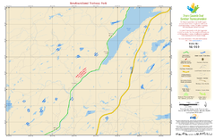
Newfoundland Trailway Park NL-010 Map
1282 miles away

South Hams England Map
Map of South Hams, England showing cities,parks, major roads and railways.
1283 miles away
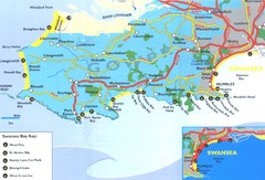
Swansea Area Tourist Map
1284 miles away
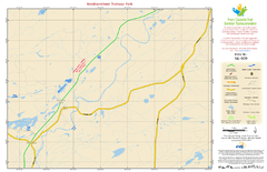
Newfoundland Trailway Park NL-009 Map
1285 miles away
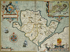
Anglesey Map
1287 miles away
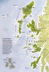
Hebrides Islands Map
1288 miles away

Isle of Bute Guide Map
1290 miles away
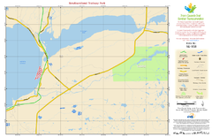
Newfoundland Trailway Park NL-008 Map
1291 miles away


